
Flood plains — the low-lying areas around rivers and other bodies of water — are often characterized by fertile soil and rich biodiversity, which has historically made them excellent areas for human settlement. However, their low elevation and proximity to water also make them susceptible to flooding. 

Heavy rain and strong winds can raise water levels quickly and unpredictably, causing flash floods and strong currents that can damage property and threaten lives. Flood models can help researchers predict when and where floods may occur, allowing local governments and relief groups to prepare and respond quickly.

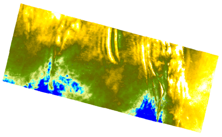
NASA provides a wide range of products that can help researchers identify and study these vulnerable areas. Digital elevation models — detailed maps of Earth's surface elevation — are the base of flood models, allowing researchers to predict the path rising water might take, as well as how and where it might lead to flood conditions. 

Imagery from missions like Landsat, the Moderate Resolution Imaging Spectroradiometer (MODIS), and the Visible Infrared Imaging Radiometer Suite (VIIRS) can provide direct observations of flood conditions, helping civic leaders assess the extent and severity of flooding. NASA also supports databases on water bodies and resources, while also providing precipitation measurements such as those from the Global Precipitation Measurement (GPM) mission. 

When combined, these missions and datasets provide robust tools for identifying areas most vulnerable to flooding. This can help first responders prepare for and react to natural disasters, and it can support the development of sustainable, flood-resistant infrastructure. 

Get Flood Plain Data

Access a range of datasets and tools to further your flood plain research. 

Learn How to Use Flood Plain Data

Access a range of webinars, tutorials, data recipes, and data stories to enhance your knowledge of Earth observation data.
SAR for Detecting and Monitoring Floods, Sea Ice, and Subsidence from Groundwater Extraction thumbnail image
SAR for Detecting and Monitoring Floods, Sea Ice, and Subsidence from Groundwater Extraction
This training expands on the theory and applications of SAR data to detect and monitor floods using SAR time-series.
ARSET Solar Induced Fluorescence (SIF) Observations for Assessing Vegetation Changes Related to Floods, Drought, and Fire Impacts thumbnail image
Solar Induced Fluorescence (SIF) Observations for Assessing Vegetation Changes Related to Floods, Drought, and Fire Impacts
This ARSET training discusses the use of a remote sensing measure of photosynthesis to study the impact of extreme weather on cropland and ecosystems.
Earthdata grphic identifier on ice sheet map
Change Detection Using OPERA Sentinel-1 RTC
Discover the process of using synthetic aperture radar (SAR) for visualizing changes in a landscape caused by disturbances such as floods, deforestation, agriculture, and freeze/thaw cycles.
Image of a complete geocoded terrain-corrected Sentinel-1 DEM. Credit: Contains modified Copernicus Sentinel data 2015, processed by ESA.
Create a DEM using Sentinel-1 Data
This data recipe guides you through creating a Digital Elevation Model (DEM) from two Sentinel-1 SLC scenes.
Discover and Visualize Flood Plain Data
NASA data help us understand Earth's changing systems in more detail than ever before, and visualizations help make Earth science concepts accessible, beautiful, and impactful.
Data visualization is a powerful tool for analysis, trend and pattern recognition, and communication. Our resources help you find data visualizations to complement and enhance your research. We also have tools and tutorials to help you translate flood plain data into compelling visuals.
Image
Three-day composite showing flooding in Mozambique and Malawi from the MODIS instruments aboard the Terra and Aqua satellite ending 23 March 2023
This image shows a Flood 3-Day Window composite ending on March 22, 2023, showing flood conditions in Mozambique and Malawi. Red indicates flooded areas, blue indicates existing surface water, and grey indicates areas of insufficient data (which is usually due to cloud cover). Note how the red flooded areas correspond with the sediment laden rivers.

Join Our Community of NASA Data Users

While NASA data are openly available without restriction, an Earthdata Login is required to download data and to use some tools with full functionality.

Learn About the Benefits of Earthdata Login

Frequently Asked Questions

Earthdata Forum

Our online forum provides a space for users to browse thousands of FAQs about research needs, data, and data applications. You can also submit new questions for our experts to answer.

Submit Questions to Earthdata Forumand View Expert Responses

Earthdata
Forum