We are in the process of migrating all NASA Earth science data sites into Earthdata from now until end of 2026. Not all NASA Earth science data and resources will appear here until then. Thank you for your patience as we make this transition.
Read about the Web Unification Project
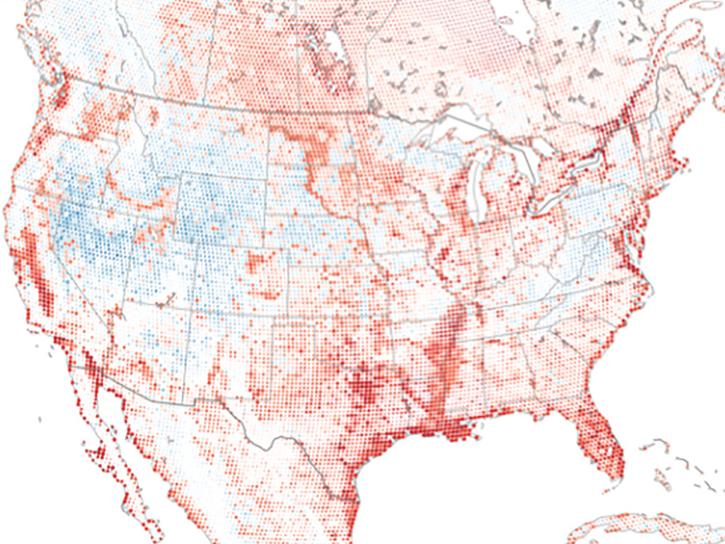
Land Use/Land Cover News
Articles, resources, and announcements from Land Use/Land Cover.

11 PACE data products are now available through NASA's Earthdata Geographic Information Systems imagery services and discoverable via Esri's ArcGIS Living Atlas of the World.
News
Feb. 9, 2026

This training offered by NASA's ARSET program demonstrates how to use NASA data to understand land cover and land use change.
News
Dec. 29, 2025
The addition of HLS data to Azure provides a foundation for next-generation Earth observation capabilities.
Blog
Sept. 30, 2025

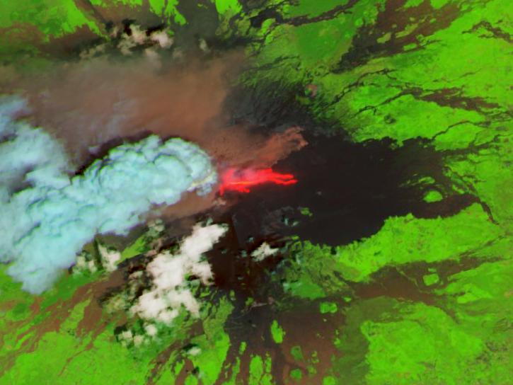
Image for August 18, 2025, derived from OPERA's Harmonized Landsat Sentinel-2 Land Surface Disturbance data.
Worldview Image of the Week
Aug. 28, 2025
In this Ecological Society of America (ESA) Annual Meeting short course, learn how to access and work with National Ecological Observatory Network (NEON) and NASA airborne and field datasets.
Event
July 16, 2025
Join us for a two-day webinar covering the fundamentals necessary to work with NASA's high-spectral resolution land-based Earth observation data from NASA's EMIT, ECOSTRESS, and PACE missions.
Event
July 14, 2025
The AppEEARS QGIS Plugin enables users to browse completed requests from AppEEARS and load cloud-optimized GeoTIFF output files directly into QGIS.
News
June 23, 2025
Researchers from Cornell's eBird project used observations from amateur birdwatchers and NASA data to better understand the decline in avian populations throughout North America.
News
June 17, 2025
SHOWING 8 OF 81