We are in the process of migrating all NASA Earth science data sites into Earthdata from now until end of 2026. Not all NASA Earth science data and resources will appear here until then. Thank you for your patience as we make this transition.
Read about the Web Unification Project
Land Surface Learning Resources
Webinars, tutorials, data recipes and more to help you work with Land Surface.
Filters
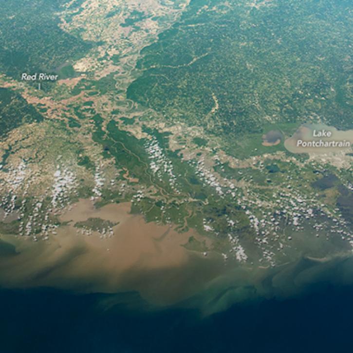
NASA Models Reveal Climate-Induced and Management Impacts on the Mississippi River Delta
StoryMap
Feb. 1, 2022
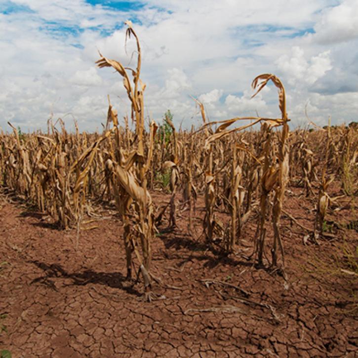
Propagation and Impacts of Great Plains Drought Captured by NASA Models and Datasets
StoryMap
Feb. 1, 2022
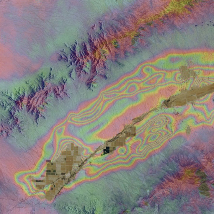
Get to know on-demand interferometric synthetic aperture radar (InSAR) products from NASA’s Alaska Satellite Facility Distributed Active Archive Center (ASF DAAC).
StoryMap
Nov. 16, 2021
This code converts the soil moisture ('SoilMoistureNPD') parameter in the Advanced Microwave Scanning Radiometer 2 (AMSR2) Near Real Time (NRT) Land product in HDF-EOS5 format to GeoTIFF.
Data Recipe
Nov. 12, 2021
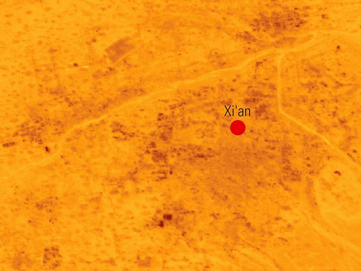
Explore how scientists use NASA Earth observation data to monitor Arctic lake temperatures, map urban heat variations, and track endangered Shoebill movements across three diverse ecosystems.
Data in Action
Nov. 8, 2021
Dr. Hannah Kerner highlights the use of machine learning to address challenges in agriculture and food security through the use of remote sensing data.
Webinar
Aug. 12, 2021
Read highlights of three publications that detail how NASA Earth observation data informs earthquake prediction, the effects of wildfires on vegetation, and the impact of agriculture on African birds.
Data in Action
July 19, 2021
Essential variables are known to be critical for observing and monitoring a given facet of the Earth system
Data Basics
July 6, 2021
Pagination
SHOWING 8 OF 142
Frequently Asked Questions
Earthdata Forum
Our online forum provides a space for users to browse thousands of FAQs about research needs, data, and data applications. You can also submit new questions for our experts to answer.
Submit Questions to Earthdata Forumand View Expert Responses