We are in the process of migrating all NASA Earth science data sites into Earthdata from now until end of 2026. Not all NASA Earth science data and resources will appear here until then. Thank you for your patience as we make this transition.
Read about the Web Unification Project
Land Surface Learning Resources
Webinars, tutorials, data recipes and more to help you work with Land Surface.
Filters
This ARSET training focuses on using NASA data products for monitoring human settlements and landscapes during armed conflict and forced displacement.
Training
June 14-23, 2022
Looking to learn more about Suomi NPP VIIRS global land data products available from NASA? Join us for an overview of the data products and live demos on how to access and work with the data using a variety of tools from the Land Processes DAAC.
Webinar
April 20, 2022
Join us to learn more about the new Landsat Analysis Ready Data (ARD), other improvements to the USGS Landsat archive and to hear a status update for the Landsat 9 mission
Webinar
April 20, 2022
Want to learn how to use R and Python to work with remote sensing data? Join us as we demonstrate how to perform basic data preparation, processing, computation, and visualization techniques using ASTER and VIIRS Surface Reflectance data.
Webinar
April 18, 2022
Urbanization is an important driver of change across our home planet. Join us to learn about NASA SEDAC data products that provide estimates of global impervious cover and urban extent at a common 30m spatial resolution.
Webinar
April 18, 2022
Advances in sensor technology, processing capabilities, and data availability are revolutionizing the radar remote sensing discipline. Join us to learn about new sensors and how NASA’s ASF DAAC is creating new tools and services to make Synthetic Aperture Radar (SAR) data more available.
Webinar
April 15, 2022
Read highlights of three publications that detail how NASA Earth observation data are used to map wildfire fuel loads, analyze volcanic ash composition, and improve soil respiration models in agricultural systems.
Data in Action
March 15, 2022
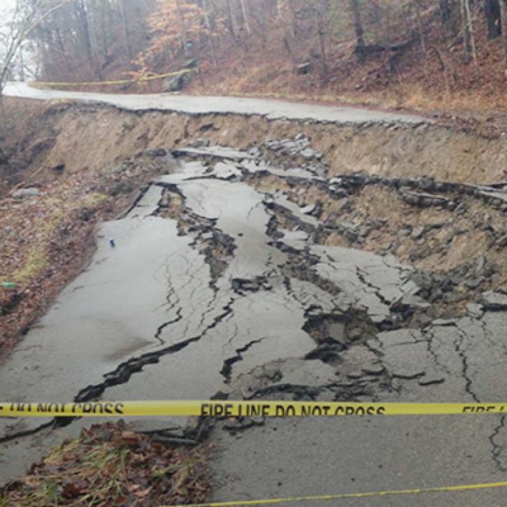
Machine Learning and Remote Sensing Show Where and When Landslides are Most Likely
StoryMap
Feb. 1, 2022
Pagination
SHOWING 8 OF 142
Frequently Asked Questions
Earthdata Forum
Our online forum provides a space for users to browse thousands of FAQs about research needs, data, and data applications. You can also submit new questions for our experts to answer.
Submit Questions to Earthdata Forumand View Expert Responses


