Delivery of Suomi National Polar-orbiting Partnership (Suomi NPP) satellite data products will cease on November 1, 2026. Data users should transition now to alternative products from NOAA-21 and NOAA-20.
Suomi NPP data announcement
Land Surface News
Articles, resources, and announcements from Land Surface.
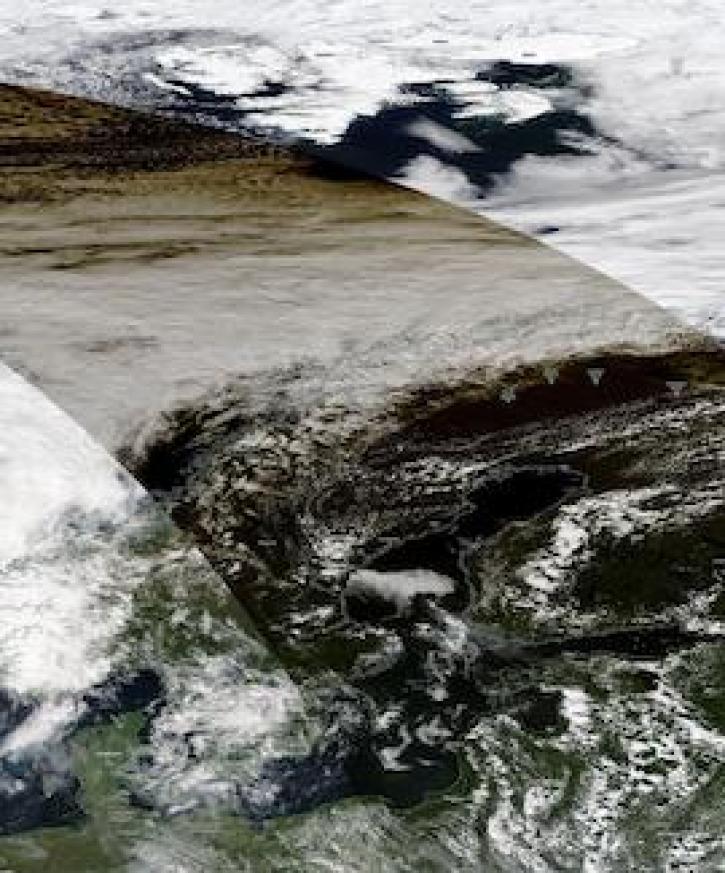
Image captured on June 10, 2021, by the MODIS instrument, aboard the Aqua satellite.
Worldview Image of the Week
June 21, 2021
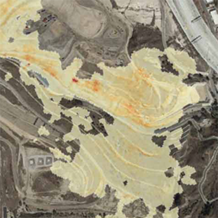
The Methane Source Finder project mapped potential sources of methane in California and developed new technologies to make remote sensing data of methane emissions readily available.
Feature Article
June 17, 2021
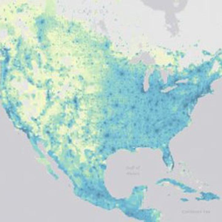
SEDAC releases datasets showing impacts in patterns of socioeconomic development in the era of climate change.
News
June 16, 2021

The Harmonized Landsat Sentinel-2 (HLS) project offers daily, 30-meter global land surface data products to facilitate a wide range of terrestrial Earth science research.
Data User Story
June 15, 2021

Image captured on 11 May 2021, by the MODIS instrument, aboard the Terra satellite.
Worldview Image of the Week
May 17, 2021

Teams from around the world helped GIBS find volcanoes, icebergs, and cats from space in NASA's 2015 International Space Apps Challenge.
News
April 22, 2021

Who Uses NASA Earth Science Data? Rowena Lohman, to study earthquake physics, satellite remote sensing, finite element modeling, ground displacements from a variety of anthropogenic and natural causes.
Data User Story
April 22, 2021

Who uses NASA Earth science data? Dennis Ojima, to examine natural resource management response strategies to climate change in the North Central U.S.
Data User Story
April 22, 2021
SHOWING 8 OF 288