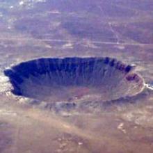
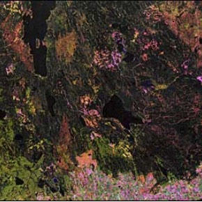
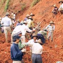
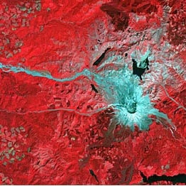
The land surface discipline includes research into areas such as shrinking forests, warming land, and eroding soils. Earth observing satellites provide key information on land surface parameters including surface temperature, land cover, land use, topography, soil moisture, vegetation cover and many other biophysical properties that provide the basis for characterizing the ecological state of Earth’s terrestrial areas. Understanding alterations to land surface characteristics is a priority outlined in the 2017 Decadal Survey, which informs NASA’s activities for implementing its mission to understand Earth as a living planet.
Definition source: University of Reading