Land Surface

The land surface discipline includes research into areas such as shrinking forests, warming land, and eroding soils. NASA data provide key information on land surface parameters and the ecological state of our planet.

Land Surface RSS Feed
Land Surface

The land surface discipline includes research into areas such as shrinking forests, warming land, and eroding soils. Earth observing satellites provide key information on land surface parameters including surface temperature, land cover, land use, topography, soil moisture, vegetation cover and many other biophysical properties that provide the basis for characterizing the ecological state of Earth’s terrestrial areas. Understanding alterations to land surface characteristics is a priority outlined in the 2017 Decadal Survey, which informs NASA’s activities for implementing its mission to understand Earth as a living planet.


Definition source: University of Reading
You Might Also Be Interested In

Filter By

Content type
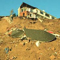
In a landslide triggered by the 1994 Northridge, California, earthquake, this house crumbled near Golden, Colorado.
Article
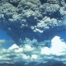
Photograph of the eruption of Mt. Pinatubo, June 15, 1991
Article
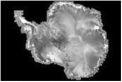
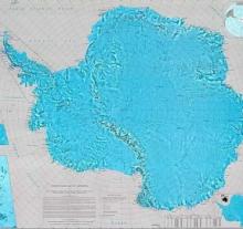
The image above shows a revised mosaic map of Antarctica produced by the RAMP project.
Article
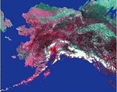
The image above is an Advanced Very High Resolution Radiometer (AVHRR) satellite image of Alaska.
Article
The view of Antarctica, typically a very cloudy continent, was made clear in 1996 by a satellite image map
Article
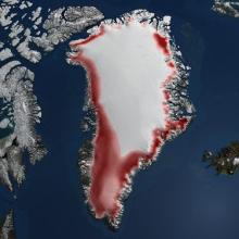
The image above shows the Greenland Ice Sheet
Article
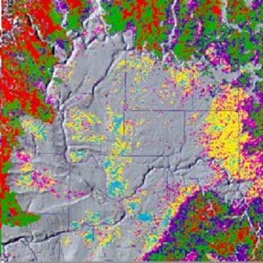
The AVHRR image above shows Land Cover- (Vegetative Use) for the Columbia Plateau in June 1993.
Article