Ocean Color Data Access and Tools

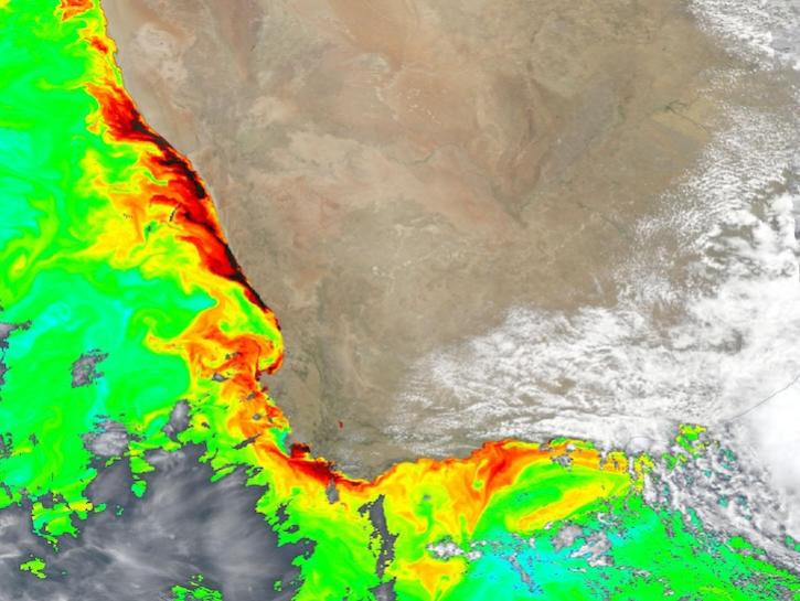
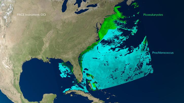
NASA has ocean color datasets that help researchers study the composition of ocean water and the processes that take place within it. Access a range of data and data tools such as AppEEARS, SeaDAS, and Giovanni to make the most of ocean color data.

Ocean Color Datasets

Filters
Dataset Sort descending Version Platform Instrument Temporal Extent Spatial Extent Spatial Resolution Data Format
Terra MODIS Level-4 Global Mapped Apparent Visible Wavelength (AVW) Data, version 2022.0 2022.0 Terra MODIS 2000-02-24 to Present

N: 90 S: -90 E: 180 W: -180

netCDF-4

Ocean Color Data Tools

Tool Sort descending Description Services
Ocean Color Level 3 and 4 Browser The Ocean Color Level 3 and 4 Browser allows users to view, download, or order global composites at various spatial and temporal scales (level 3) or get results from analyses of lower-level data (level 4). Analysis, Search and Discovery, Visualization
SeaDAS Sea, earth, atmosphere Data Analysis System (SeaDAS) is a comprehensive image analysis package for the processing, display, analysis, and quality control of ocean color data. Analysis, Visualization, Processing
SHOWING 2 OF 2

Get Help

QUESTIONS & SUPPORT

Have a question?

Get help with NASA Earth science data, datasets, tools, services, and metadata on the Earthdata Forum. Experienced staff in the data user community review and answer questions.

Get help on Earthdata Forum
Earthdata
Forum