Delivery of Suomi National Polar-orbiting Partnership (Suomi NPP) satellite data products will cease on November 1, 2026. Data users should transition now to alternative products from NOAA-21 and NOAA-20.
Suomi NPP data announcement
Ocean Color Learning Resources
Webinars, tutorials, data recipes and more to help you work with Ocean Color.
Filters
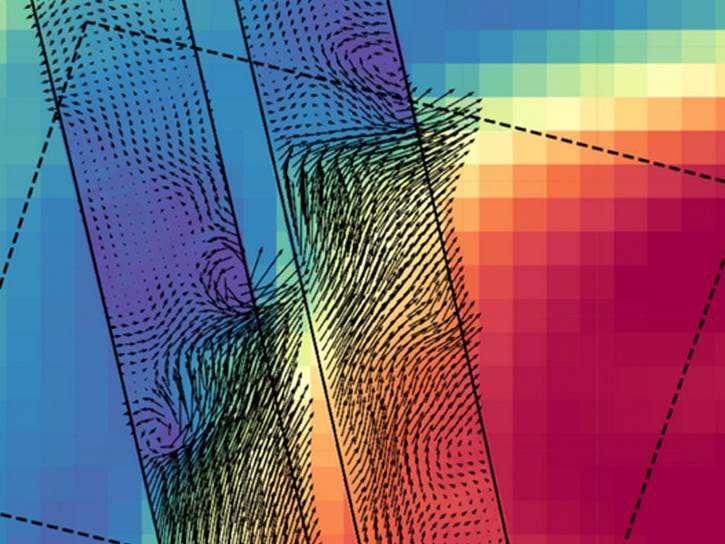
NASA's new Earth-observing satellites map ocean physics and biology just hours apart, marking a leap forward in tracking fast-evolving, small-scale ocean phenomena from space.
Data in Action
Sept. 14, 2026

This tutorial will demonstrate how to preprocess the EMIT and PACE reflectance data so that they can be used together to investigate science questions. Using the emit_tools and pace_tools modules, the data are orthorectified, geolocated, merged where needed, and resampled onto a common grid, enabling direct comparison of observations from the two sensors.
External Resource
Jupyter Notebook
July 14, 2026
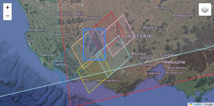
This tutorial demonstrates how to find colocated EMIT and PACE Ocean Color Instrument (OCI) granules using the earthaccess Python library.
External Resource
Jupyter Notebook
July 14, 2026
Esta capacitación introductoria de tres partes presentará un resumen de los sensores hiperespectrales y la misión PACE.
Training
Sept. 25 - Oct. 2, 2024
This ARSET training provides an overview of past and current hyperspectral sensors and NASA's PACE mission.
Training
Sept. 25 - Oct. 9, 2024

Learn how to acquire HARP2 data, plot geolocated imagery, and make animations of multi-angled data.
Data Recipe
May 20, 2024

NASA's Ocean Biology Distributed Active Archive Center (OB.DAAC) manages, archives and distributes nearly 40 years of ocean color, sea surface temperature, and sea surface salinity data. Join us to learn how to discover and access these data!
Webinar
April 18, 2022

Learn how SeaBASS can be leveraged for data search, discovery, and access, and will demonstrate how SeaBASS supports NASA’s ocean color satellite products and the broader scientific community.
Webinar
April 18, 2022
SHOWING 8 OF 12
Get Help
QUESTIONS & SUPPORT
Have a question?
Get help with NASA Earth science data, datasets, tools, services, and metadata on the Earthdata Forum. Experienced staff in the data user community review and answer questions.
Get help on Earthdata ForumEarthdata
Forum
Forum