Access a range of datasets and data tools to further your ocean research.
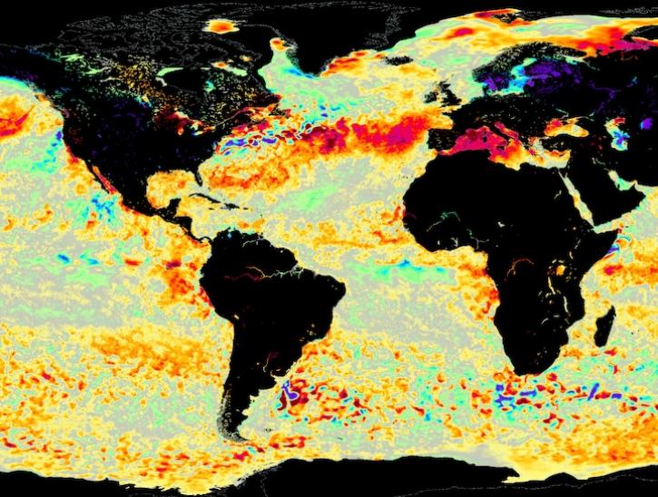
The global ocean covers more than 70 percent of Earth’s surface and contains 97 percent of the planet’s water. Data collected by NASA’s Earth-observing instruments help scientists understand how the ocean supports a vast abundance of life, regulates the climate, provides a large amount of the planet’s oxygen, and stores an abundance of carbon dioxide.
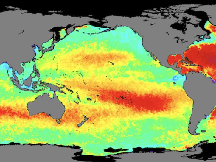
Our data products include information about ocean processes including ocean circulation and surface winds; heat exchange between the ocean and atmosphere, including sea surface temperature, sea surface salinity, and sea surface height; and factors impacting water quality, including turbidity, chlorophyll concentrations, and colored dissolved organic matter. In addition, our ocean data provide optical information that aids in assessing trends in global mean sea level.
Ocean Sub-Topics

Latest Ocean News
Join Our Community of NASA Data Users
While NASA data are openly available without restriction, an Earthdata Login is required to download data and to use some tools with full functionality.
Learn About the Benefits of Earthdata LoginFrequently Asked Questions
Earthdata Forum
Our online forum provides a space for users to browse thousands of FAQs about research needs, data, and data applications. You can also submit new questions for our experts to answer.
Submit Questions to Earthdata Forumand View Expert Responses

