Access a range of datasets and data tools to further your tectonics research.
Earth's solid surface is made up of a crust floating on the hot, molten core of the planet's interior. The crust is broken into plates that collide and push together due to forces from the core, producing volcanoes, earthquakes, and other geological phenomena. Tectonics is the study of the plates, the forces acting on them, and their motion.
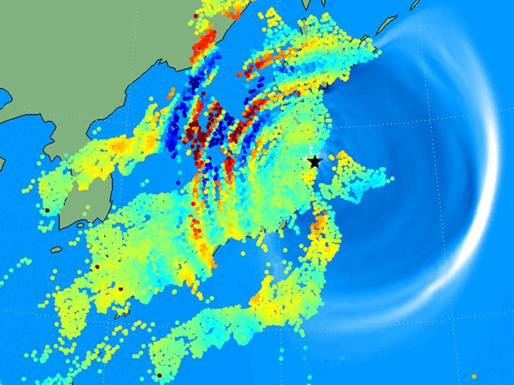
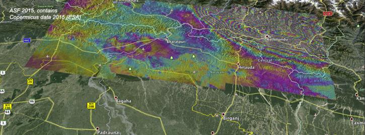
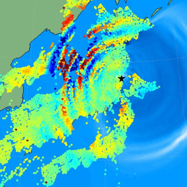
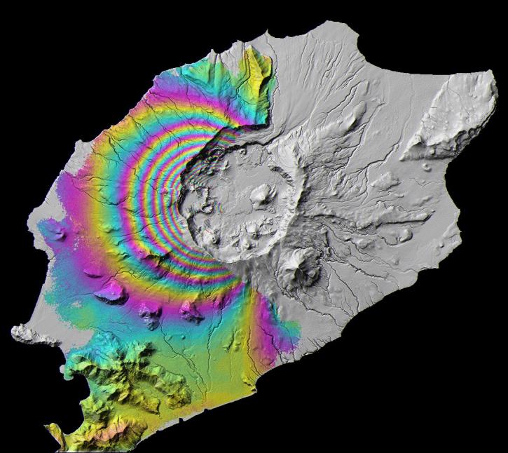
NASA has a variety of tectonic data from an assortment of sources, such as synthetic aperture radar instruments and global positioning systems. The data can be used for many different kinds of observations such as measuring Earth surface deformation over time, predicting earthquakes, volcano eruptions and their effects including tsunami forecasting.
Tectonic Plate Motion
Tectonic Maps
The tectonic motion of points around the world can be estimated using a variety of space geodetic techniques including Satellite Laser Ranging (SLR), Very Long Baseline Interferometry (VLBI), and by tracking crustal movement with a Global Navigation Satellite System (GNSS). SLR, in particular, is used to create maps of tectonic motion with topographic data that measures surface terrain and bathymetric data measuring lake, river, and ocean beds.
Learn more about tectonic maps and view SLR estimates of site motion for regions in Europe, the Far East, Australia and the Pacific, North America, and South America.
Learn How to Use Tectonics Data


Join Our Community of NASA Data Users
While NASA data are openly available without restriction, an Earthdata Login is required to download data and to use some tools with full functionality.
Learn About the Benefits of Earthdata LoginFrequently Asked Questions
Earthdata Forum
Our online forum provides a space for users to browse thousands of FAQs about research needs, data, and data applications. You can also submit new questions for our experts to answer.
Submit Questions to Earthdata Forumand View Expert Responses
