We are in the process of migrating all NASA Earth science data sites into Earthdata from now until end of 2026. Not all NASA Earth science data and resources will appear here until then. Thank you for your patience as we make this transition.
Read about the Web Unification Project
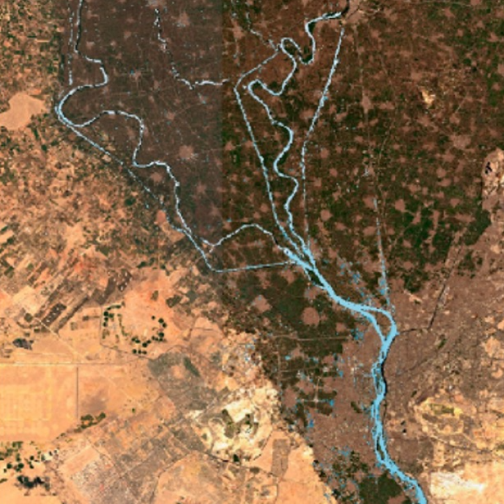
Lakes/Reservoirs Data Access and Tools
NASA has lakes and reservoirs datasets that help researchers explore the size, health and other aspects of waterbodies. Access a range of data and data tools such as AppEEARS, HEG, and the MODID/VIIRS Subsetting Tools Suite to make the most of lakes and reservoirs data.
Lakes/Reservoirs Datasets
| Dataset | Version Sort ascending | Platforms | Instruments | Temporal Extent | Spatial Extent | Spatial Resolution | Data Format |
|---|---|---|---|---|---|---|---|
| LBA Regional Freshwater Wetlands, 1-Degree (Stillwell-Soller et al.) | 1 | NOT APPLICABLE | NOT APPLICABLE | 1995-01-01 to 1995-09-01 |
N: 5 S: -25 E: -30 W: -85 |
multiple | |
| ABoVE: AirSWOT Radar, Orthomosaic, and Water Masks, Yukon Flats Basin, Alaska, 2015 | 1 | B-200 | AirSWOT, CAMERA | 2015-06-15 to 2015-06-15 |
N: 66.8978 S: 65.9282 E: -145 W: -148 |
multiple | |
| ABoVE: Lakes and Ponds Weekly Occurrence, 2016 - 2023 | 1 | Sentinel-2A | Sentinel-2 MSI | 2016-05-06 to 2023-10-14 |
N: 71.3907 S: 59.4374 E: -128.725 W: -166.194 |
multiple | |
| ABoVE: Lake Growing Season Green Surface Reflectance Trends, AK and Canada, 1984-2019 | 1 | LANDSAT-5, LANDSAT-7, LANDSAT-8 | TM, ETM+, OLI | 1984-07-01 to 2019-09-01 |
N: 74.9995 S: 49.545 E: -81.2261 W: -168.103 |
Text File | |
| ABoVE: Historical Lake Shorelines and Areas near Fairbanks, Alaska from 1949-2009 | 1 | SPOT-1, AERIAL PHOTOGRAPHS | HRVIR, CAMERA | 1949-01-01 to 2009-12-31 |
N: 64.96 S: 64.8282 E: -147.66 W: -147.98 |
Shapefile | |
| CO2 and CH4 Fluxes from Waterbodies, Yukon-Kuskokwim Delta, Alaska, 2016-2019 | 1 | SATELLITES, FIELD SURVEYS, COMPUTERS | Sentinel-2 MSI, SENTINEL-1 C-SAR, WATER BOTTLES, Computer | 2016-07-07 to 2019-07-07 |
N: 61.6781 S: 60.895 E: -162.073 W: -163.82 |
multiple | |
| ABoVE: Lake and Pond Extents in Alaskan Boreal and Tundra Subregions, 2019-2021 | 1 | PlanetScope | PlanetScope | 2019-05-19 to 2021-09-28 |
N: 67.2081 S: 60.7642 E: -143.836 W: -164.402 |
Shapefile | |
| LBA-ECO LC-07 Amazon Floodplain Lake Chlorophyll from MODIS, Para, Brazil: 2002-2003 | 1 | Terra | MODIS | 2002-04-01 to 2003-12-31 |
N: -1 S: -3.00025 E: -52.9995 W: -57 |
GeoTIFF | |
| Arctic Alaska Vegetation, Geobotanical, Physiographic Maps, 1993-2005 | 1 | FIELD SURVEYS, LANDSAT-5 | VISUAL OBSERVATIONS, AVHRR | 1993-06-01 to 2005-03-30 |
N: 71.3703 S: 57.0847 E: -138.542 W: -173.052 |
multiple | |
| SAFARI 2000 Hydrographic Data, 1-Deg, Release 2.2 (Cogley) | 1 | NOT APPLICABLE | NOT APPLICABLE | 1970-01-01 to 1990-01-01 |
N: 5 S: -35 E: 60 W: 5 |
multiple |
SHOWING 10 OF 75
Featured Lakes/Reservoirs Observation Method: SWOT
NASA's Surface Water and Ocean Topography (SWOT) platform monitors Earth’s surface water and measures how water bodies, such as lakes and rivers, change over time. SWOTS measures water surface heights using its primary instrument, the Ka-band Radar Interferometer (KaRIn).

Recently released datasets from the SWOT mission provide scientists with previously unavailable measurements of Earth's surface water.
9 MIN READ

Hydrocron enables users to receive all Surface Water and Ocean Topography (SWOT) observations for a specific river ID within a specified date range.
A workshop hosted by NASA's Physical Oceanography Distributed Active Archive Center (PO.DAAC) explored data and resources for working with observations from the Surface Water and Ocean Topography (SWOT) mission.

The Surface Water and Ocean Topography (SWOT) Swath Visualizer provides a visualization of two instruments’ coverage of Earth's surface: the Ka-band Radar Interferometer and altimeter.
Frequently Asked Questions
Earthdata Forum
Our online forum provides a space for users to browse thousands of FAQs about research needs, data, and data applications. You can also submit new questions for our experts to answer.
Submit Questions to Earthdata Forumand View Expert Responses