We are in the process of migrating all NASA Earth science data sites into Earthdata from now until end of 2026. Not all NASA Earth science data and resources will appear here until then. Thank you for your patience as we make this transition.
Read about the Web Unification Project
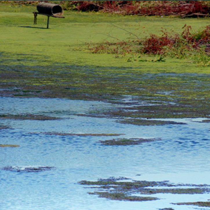
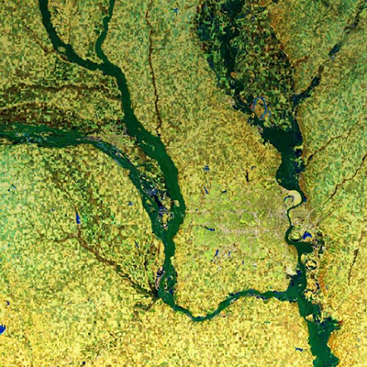
Terrestrial Hydrosphere Learning Resources
Webinars, tutorials, data recipes and more to help you work with Terrestrial Hydrosphere.
Filters


This ARSET training outlines the basics of ecosystem services and natural capital accounting.
Training
Aug. 23-30, 2022

Join us as we discuss remote sensing derived environmental indicator datasets that can enable environmental decision making. We focus on three major issue areas: ambient air pollution, coastal eutrophication and biomass burning.
Webinar
April 18, 2022
NASA Land Surface Models Capture Water Quality Trends in the Upper Mississippi Basin
StoryMap
Feb. 1, 2022
NASA Models and Remote Sensing Datasets Capture Cascading Impacts on Midwest Farmers
StoryMap
Feb. 1, 2022

NASA Models and Datasets Capture Irrigation and Groundwater Depletion Impacts
StoryMap
Feb. 1, 2022
Integrating Data and Models Across the Full Water Cycle to Deliver Actionable Freshwater Information
StoryMap
Feb. 1, 2022
SHOWING 8 OF 83
Frequently Asked Questions
Earthdata Forum
Our online forum provides a space for users to browse thousands of FAQs about research needs, data, and data applications. You can also submit new questions for our experts to answer.
Submit Questions to Earthdata Forumand View Expert Responses