Delivery of Suomi National Polar-orbiting Partnership (Suomi NPP) satellite data products will cease on November 1, 2026. Data users should transition now to alternative products from NOAA-21 and NOAA-20.
Suomi NPP data announcement
Terrestrial Hydrosphere Learning Resources
Webinars, tutorials, data recipes and more to help you work with Terrestrial Hydrosphere.
Filters
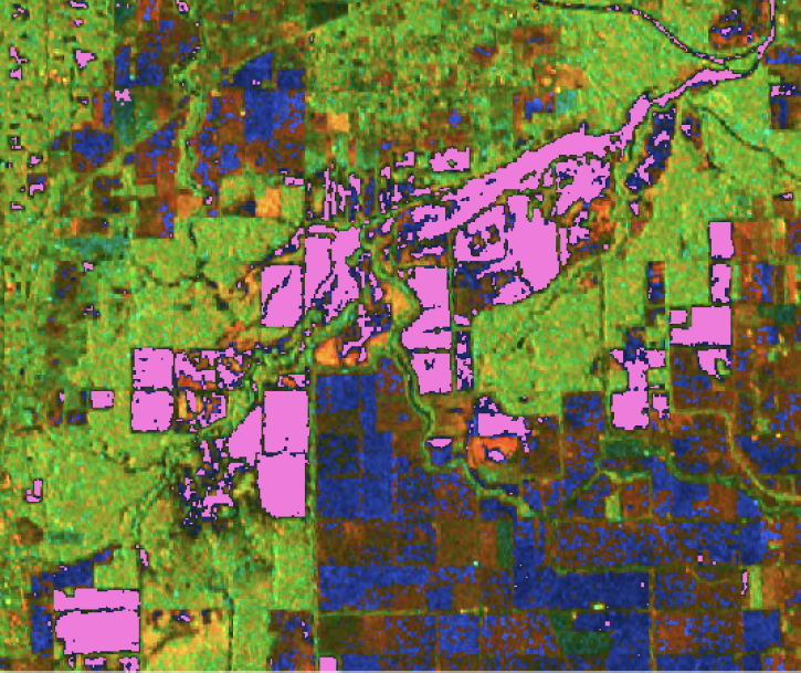
Generate a water mask using a dB threshold approach with data from NASA’s Alaska Satellite Facility Distributed Active Archive Center (ASF DAAC).
StoryMap
Nov. 16, 2020
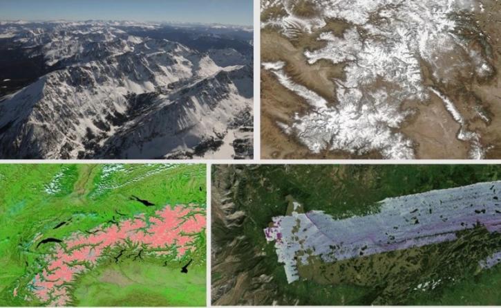
During this webinar we will introduce several of the NSIDC DAAC snow-focused NASA missions and data products, followed by a live demonstration teaching participants how to discover, access, and couple snow data across varying geospatial scales using Python.
Webinar
Nov. 4, 2020
This ARSET training teaches how to use earth observations to estimate water budgets for a given river basin.
Training
July 21 - Aug. 4, 2020
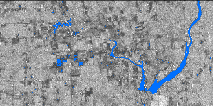
In this webinar, we will demonstrate approaches for using SAR datasets in GIS environments to detect landscape change and map flooding events with a focus on Sentinel-1 datasets.
Webinar
July 10, 2020
Esta capacitación de ARSET presenta una visión general de cómo utilizar observaciones de GRACE para apoyar la gestión de recursos hídricos.
Training
June 25, 2020
This ARSET training provides an overview of how GRACE observations can be used to support water resources management.
Training
June 25, 2020
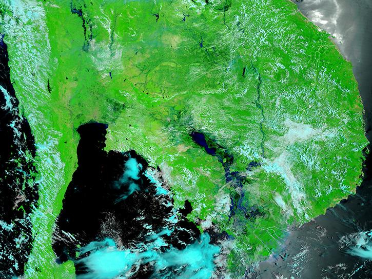
Researchers used NASA satellite data to improve water resource management in South and Southeast Asia.
Data in Action
May 13, 2020
This ARSET training focuses on using interferometric synthetic aperture radar for characterizing landslides and generating a digital elevation model.
Training
Dec. 3-5, 2019
SHOWING 8 OF 85
Frequently Asked Questions
Earthdata Forum
Our online forum provides a space for users to browse thousands of FAQs about research needs, data, and data applications. You can also submit new questions for our experts to answer.
Submit Questions to Earthdata Forumand View Expert Responses