We are in the process of migrating all NASA Earth science data sites into Earthdata from now until end of 2026. Not all NASA Earth science data and resources will appear here until then. Thank you for your patience as we make this transition.
Read about the Web Unification Project
NISAR L-Band Data Now Publicly Available. Click here to learn more:
NISAR L-Band Data Released, Expanding Record of Surface Changes
ASF DAAC Learning Resources
Webinars, tutorials, data recipes and more to help you work with ASF DAAC.
Filters

Join us as we show new and experienced users how to use Vertex to discover and access Sentinel-1 synthetic aperture radar (SAR) data at NASA's Alaska Satellite Facility (ASF) Distributed Active Archive Center (DAAC).
Webinar
April 15, 2022

As of 6/23/20 this webinar is full. However, the event will be recorded and made available online to our NASA Earthdata YouTube channel and on the NASA Earthdata website. Additional live sessions will be held in the weeks to come.
Webinar
April 15, 2022
Join us to learn how to request analysis-ready On-Demand InSAR products, both through NASA's Alaska Satellite Facility DAAC Vertex data discovery and data access portal and programmatically.
Webinar
April 14, 2022

Get to know on-demand Sentinel-1 InSAR products from NASA’s Alaska Satellite Facility Distributed Active Archive Center (ASF DAAC).
Tutorial
Nov. 16, 2021
Get to know on-demand interferometric synthetic aperture radar (InSAR) products from NASA’s Alaska Satellite Facility Distributed Active Archive Center (ASF DAAC).
StoryMap
Nov. 16, 2021

This ARSET training covers the Google Earth Engine Code Editor and hands-on exercises for processes integral to optical imagery analysis.
Training
June 16-30, 2021

Learn how to use the Vertex tool to process synthetic aperture radar (SAR) data.
Tutorial
May 20, 2021
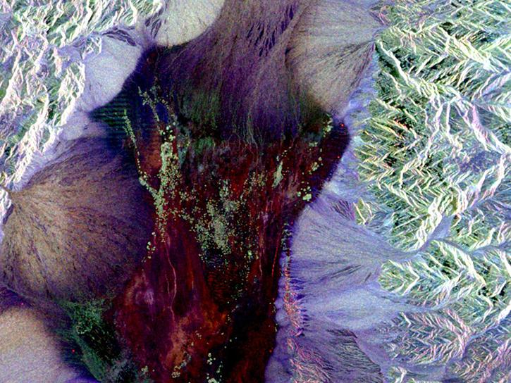
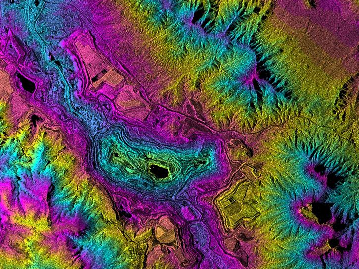
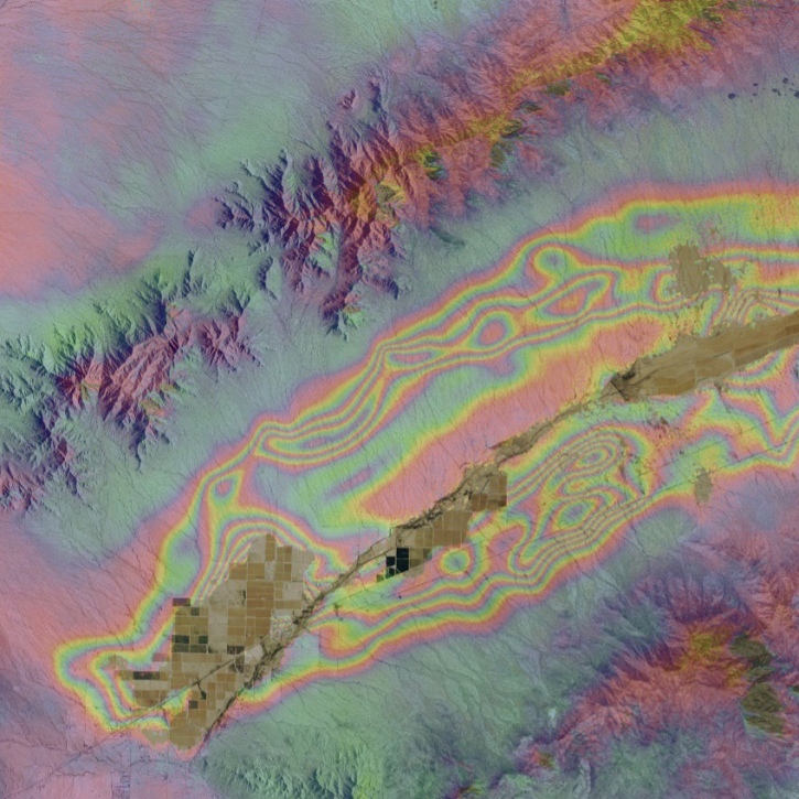
SAR is one of the power technologies of remote sensing, and enables high resolution imagery to be created night or day, regardless of weather conditions.
Data Basics
May 18, 2021
SHOWING 8 OF 129