Due to the lapse in federal government funding, NASA is not updating this website. We sincerely regret this inconvenience.
ASF DAAC Learning Resources
Webinars, tutorials, data recipes and more to help you work with ASF DAAC.
Filters
In this tutorial, learn how to use the Reclassify Radiometrically Terrain Corrected (RTC) Tool.
Tutorial
Nov. 16, 2020
Learn how to convert among common synthetic aperture radar (SAR) scales, including power, amplitude, and dB.
StoryMap
Nov. 16, 2020
Learn how to order Radiometrically Terrain Corrected (RTC) Sentinel-1 synthetic aperture radar (SAR) products through Vertex.
Tutorial
Nov. 11, 2020
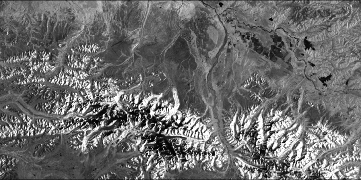
Work with radiometrically terrain corrected (RTC) Sentinel-1 synthetic aperture radar (SAR) datasets.
StoryMap
Nov. 11, 2020
NASA's ASF DAAC has rolled out the first tool in its planned Advanced Products Toolbox for synthetic aperture radar (SAR) data with a single-command Radiometrically Terrain-Correct (RTC) tool. Join us for the tool demo and provide your input.
Webinar
Nov. 4, 2020
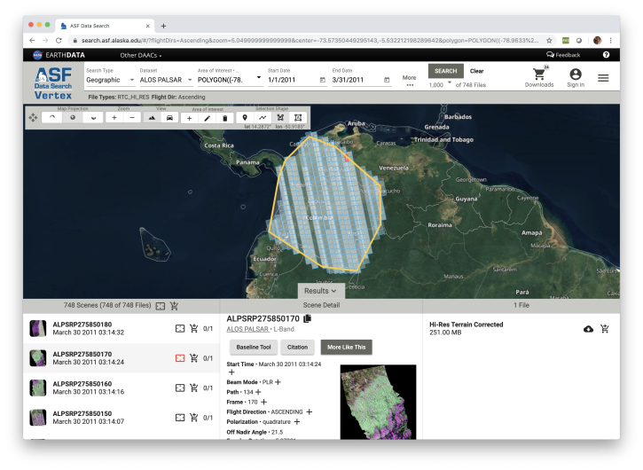
Looking for synthetic aperture radar (SAR) data? Learn how to discover, access and manipulate SAR data with the newly revamped NASA ASF DAAC Vertex tool. We'll showcase common data access methods and some of the advanced features of this data discovery and data access tool.
Webinar
Nov. 4, 2020
This webinar will provide a basic introduction to SAR data collection, the datasets that are available from NASA's Alaska Satellite Facility Distributed Active Archive Center and the processing required to extract useful information from the data.
Webinar
July 10, 2020
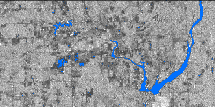
In this webinar, we will demonstrate approaches for using SAR datasets in GIS environments to detect landscape change and map flooding events with a focus on Sentinel-1 datasets.
Webinar
July 10, 2020
Pagination
SHOWING 8 OF 114
