We are in the process of migrating all NASA Earth science data sites into Earthdata from now until end of 2026. Not all NASA Earth science data and resources will appear here until then. Thank you for your patience as we make this transition.
Read about the Web Unification Project
NISAR L-Band Data Now Publicly Available. Click here to learn more:
NISAR L-Band Data Released, Expanding Record of Surface Changes
ASF DAAC Learning Resources
Webinars, tutorials, data recipes and more to help you work with ASF DAAC.
Filters
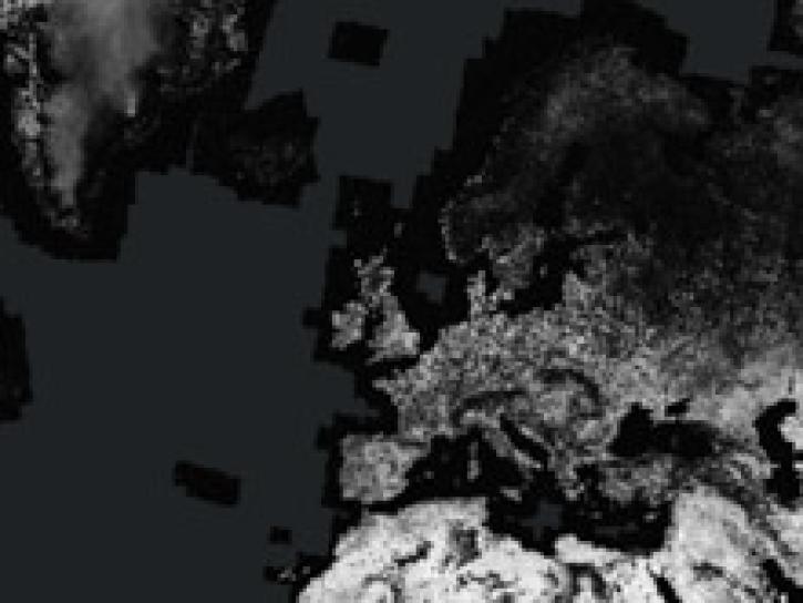
Access enhanced image services for NASA's ASF Global Seasonal Sentinel-1 Interferometric Coherence and Backscatter dataset.
StoryMap
Dec. 1, 2022
Esta capacitación de ARSET cubre el uso de Radar de apertura sintética (SAR) interferométrico (InSAR) SAR para evaluar riesgo de deslizamientos.
Training
Oct. 19-27, 2022
This ARSET training focuses on the use of SAR to assess areas at risk from disasters due to landslides through the use of interferometric SAR (InSAR).
Training
Oct. 19-27, 2022
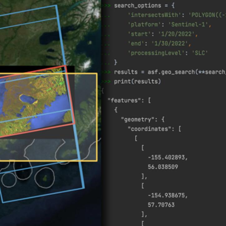
Join us for an introductory webinar to learn how to use asf_search, a new Python library for search and discovery of SAR data, created by NASA's Alaska Satellite Facility Distributed Active Archive Center (ASF DAAC).
Webinar
May 18, 2022
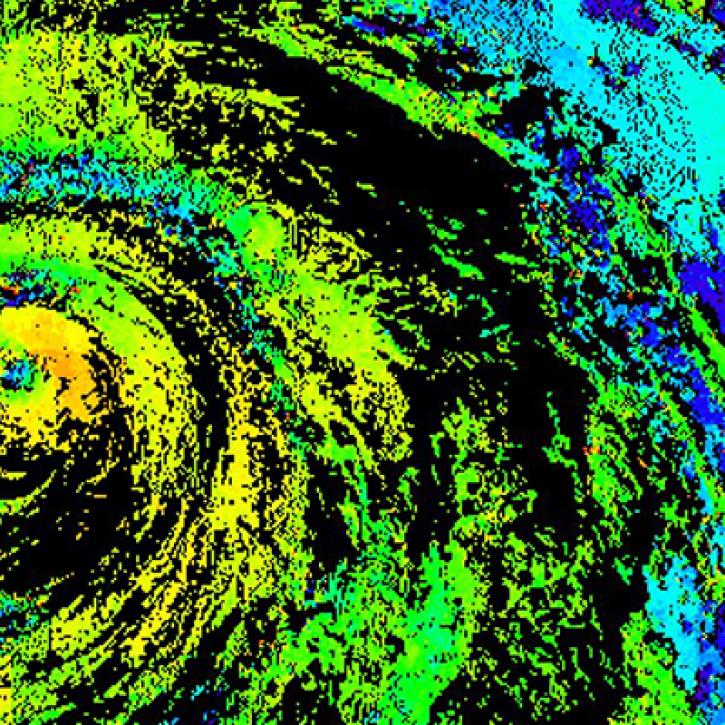
Near real-time monitoring of tropical storms and observations of previous hurricanes.
StoryMap
April 28, 2022
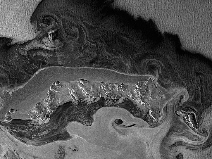
This webinar will provide a basic introduction to SAR data collection, the datasets that are available from NASA's Alaska Satellite Facility Distributed Active Archive Center and the processing required to extract useful information from the data.
Webinar
April 20, 2022

Join us on Wednesday, September 23, 2015 at 2pm ET to learn how to discover and access synthetic aperture radar (SAR) data!
Webinar
April 19, 2022

Advances in sensor technology, processing capabilities, and data availability are revolutionizing the radar remote sensing discipline. Join us to learn about new sensors and how NASA’s ASF DAAC is creating new tools and services to make Synthetic Aperture Radar (SAR) data more available.
Webinar
April 15, 2022
SHOWING 8 OF 129