We are in the process of migrating all NASA Earth science data sites into Earthdata from now until end of 2026. Not all NASA Earth science data and resources will appear here until then. Thank you for your patience as we make this transition.
Read about the Web Unification Project
LP DAAC Learning Resources
Explore webinars, trainings, tutorials, and other learning resources from NASA’s Land Processes Distributed Active Archive Center (LP DAAC). Learn how to discover, access, process, and apply Earth science data from platforms and instruments such as MODIS, ASTER, VIIRS, GEDI, ECOSTRESS, EMIT, and HLS.
LP DAAC maintains a collection of dataset and topic-specific GitHub repositories that include step-by-step tutorials, scripts, guides, and example workflows for getting started with LP DAAC data. Users can browse available resources in the LP DAAC Data Resources GitHub repository, which serves as a central hub and provides links to additional LP DAAC–maintained GitHub repositories for specific datasets and topics.
Filters

Esta capacitación de ARSET se centra en cómo aplicar los datos del UN Biodiversity Lab y satélites de la NASA a las metas de los ODS.
Training
March 24 - April 7, 2020
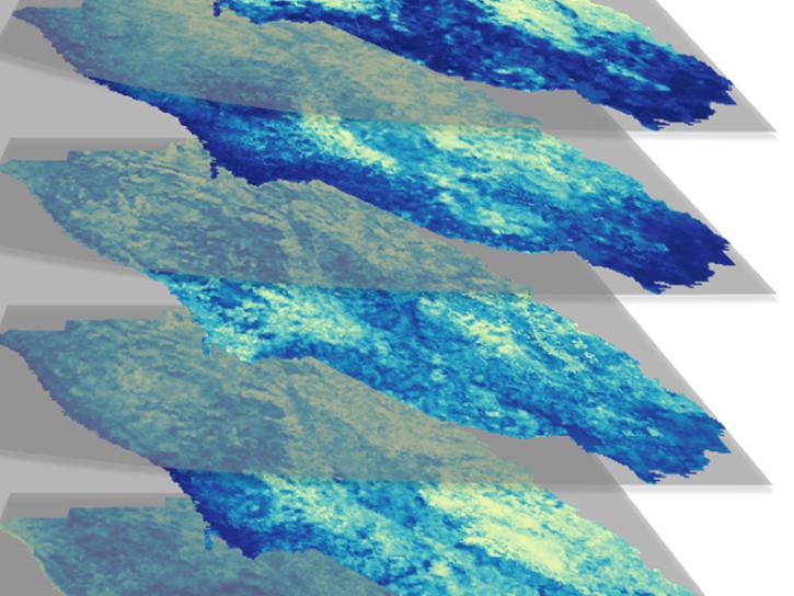
Using simulated Global Ecosystem Dynamics Investigation (GEDI) data, a science team predicted bird occurrence probability in California.
Data in Action
March 10, 2020

See how a DEVELOP project team employed Earth observation data to examine and predict the location of bighorn sheep habitat in the Mojave Desert.
Data in Action
Feb. 24, 2020
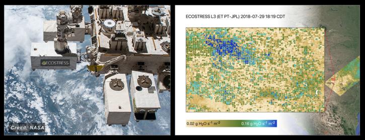
NASA's ECOSTRESS Mission studies how plants use water by measuring their temperature from space. Join us to learn more about ECOSTRESS mission measurements, data and tools!
Webinar
Feb. 18, 2020

See how NASA's Land Processes Distributed Active Archive Center (LP DAAC) uses land cover and vegetation continuous fields data to highlight land cover changes.
StoryMap
Jan. 16, 2020

During this webinar we will provide answers to commonly asked questions about NASA land processes data, services and tools, and show you how to navigate the new LP DAAC website to discover data resources.
Webinar
Jan. 15, 2020

Explore how NASA remote sensing data and satellite imagery are used to monitor the evolution of fires.
Data in Action
Dec. 2, 2019

This ARSET training focuses on describing NASA digital elevation data and its application in deriving river basin information using HydroSHEDS.
Training
Nov. 26, 2019
SHOWING 8 OF 226