Delivery of Suomi National Polar-orbiting Partnership (Suomi NPP) satellite data products will cease on November 1, 2026. Data users should transition now to alternative products from NOAA-21 and NOAA-20.
Suomi NPP data announcement
OBPG Learning Resources
Webinars, tutorials, data recipes and more to help you work with OBPG.
Filters
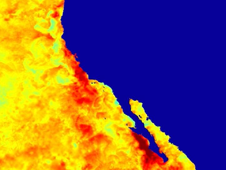
Learn about intensified coastal warming along central-to-southern California in 2014 using satellite sea surface temperature imagery.
Data in Action
Sept. 4, 2014
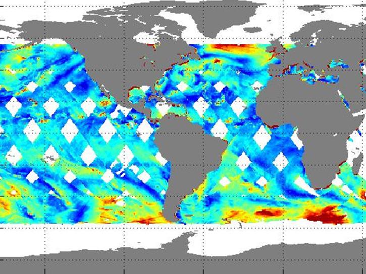
Learn how NASA's RapidScat observes daily cycles of wind created by solar heat.
Data in Action
July 17, 2014
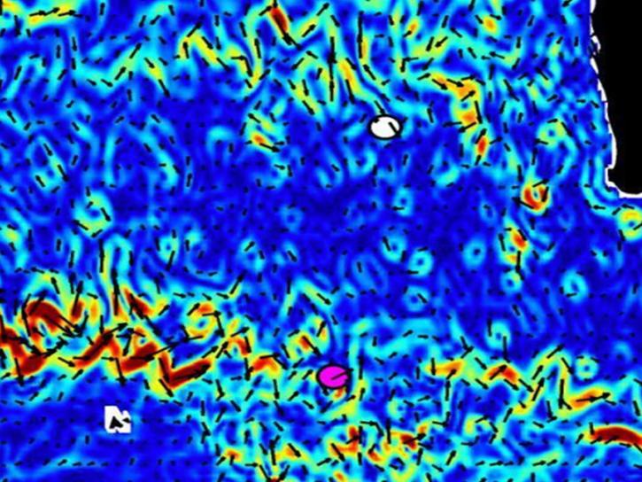
NASA's OSCAR data were used to analyze ocean currents to track debris fields for Malaysian Airlines flight 370.
Data in Action
April 4, 2014

NASA satellites and instruments provide global wave height observations and ocean vector winds on a daily basis.
Data in Action
Jan. 14, 2014

Aquarius detected the effects of an extreme Mississippi river flooding event into the Gulf of America.
Data in Action
Nov. 11, 2013
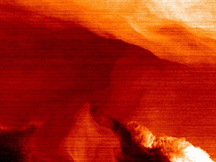
NASA’s SWOT satellite will measure sea level height variations on spatial scales down to a few kilometers.
Data in Action
Aug. 17, 2013
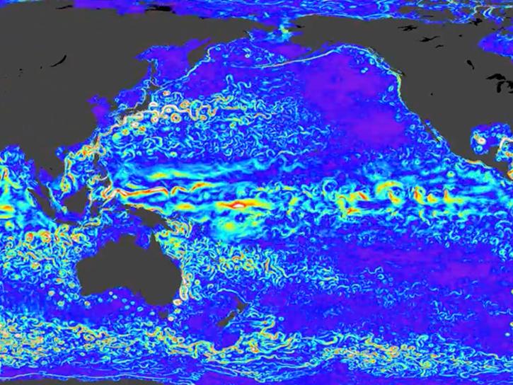
TOPEX/Poseidon provided more than 13 years of data, while two follow-on missions—Jason-1 and Jason-2—have extended the time series of data to more than 20 years.
Data in Action
Dec. 12, 2012
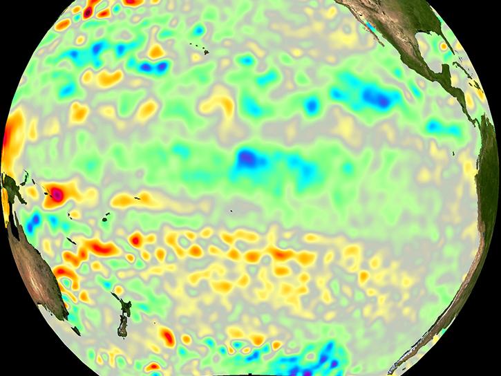
GRACE satellites were used to "weigh" the ocean to determine the cause of a drop in the global mean sea level.
Data in Action
Oct. 8, 2012
SHOWING 8 OF 108