We are in the process of migrating all NASA Earth science data sites into Earthdata from now until end of 2026. Not all NASA Earth science data and resources will appear here until then. Thank you for your patience as we make this transition.
Read about the Web Unification Project
DPR Resources
Earthdata resources for users working with NASA’s Dual-frequency Precipitation Radar (DPR) data include tutorials and other learning resources, news announcements such as instrument updates and data releases, user guides and related documents, and frequently asked questions.
DPR Learning Resources

Esta capacitación de ARSET cubre cómo usar datos de la NASA para caracterizar eventos de desastres y apoyar esfuerzos de ayuda.
Training
April 16-30, 2019
This ARSET training shows how NASA remote sensing data can be used to characterize and monitor disaster-related events and support relief efforts.
Training
April 16-30, 2019

This ARSET training introduces using satellite data and Earth system modeling data sources to estimate surface water budgets.
Training
March 13 - April 3, 2019
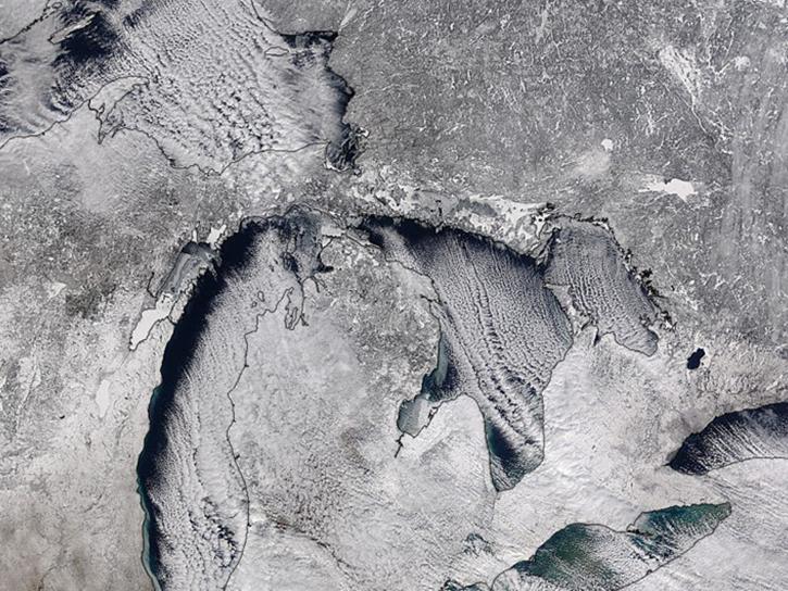
Studying the mechanics of lake effect snow helps researchers better understand water/land contrasts across snowfall bands.
Data in Action
Oct. 19, 2018
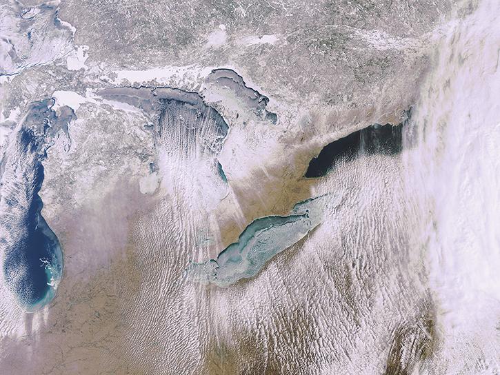
What is the 3D structure of falling snow and how does its variability affect remotely sensed retrievals?
Data in Action
Oct. 19, 2018

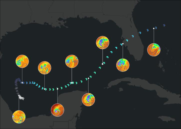
This ARSET training covers the NASA data and tools useful for monitoring tropical storms.
Training
May 3-10, 2018

This ARSET training introduces the Variable Infiltration Capacity Model, sources of satellite-derived input data, and implementation of the model.
Training
Feb. 15 - March 1, 2018

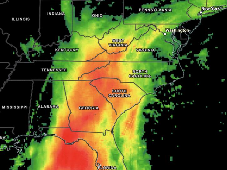
Learn now NASA's Soil Moisture Active Passive (SMAP) satellite and other satellite instruments were used to create a comprehensive chronology of the flood from land to ocean.
Data in Action
Dec. 6, 2016
SHOWING 8 OF 26
Visualize daily-average and 30-minute IMERG precipitation estimates.
News
Nov. 21, 2025
A summary of datasets, products, and resources released by NASA’s Distributed Active Archive Centers (DAACs) in June 2025.
News
July 18, 2025

The Climate Prediction Center (CPC) 4 km Infrared (IR) dataset archive now extends back to January 1998, offering over 25 years of high-resolution infrared observations and continuing into the present.
News
June 20, 2025
Join us on January 29 at 2PM ET (-05:00 UTC) to learn how to access and use MERRA-2, GPM, TROPICS, and LDAS data provided by NASA's Goddard Earth Sciences Data and Information Services Center (GES DISC) to investigate Hurricane Milton's milestones.
Webinar
Jan. 10, 2025
SHOWING 4 OF 15
Frequently Asked Questions
Earthdata Forum
Our online forum provides a space for users to browse thousands of FAQs about research needs, data, and data applications. You can also submit new questions for our experts to answer.
Submit Questions to Earthdata Forumand View Expert Responses