MODIS Resources

Earthdata resources for users working with NASA’s Moderate Resolution Imaging Spectroradiometer (MODIS) data include tutorials and other learning resources, news announcements such as instrument updates and data releases, user guides and related documents, and frequently asked questions.

MODIS Learning Resources

Filters
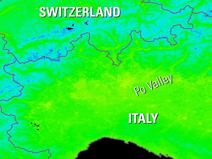
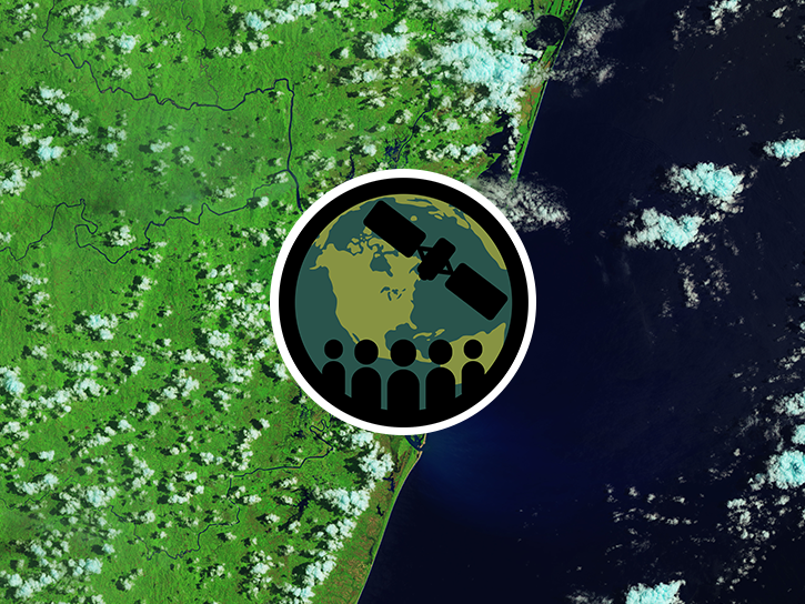
This ARSET training shows how NASA remote sensing data can be used to characterize and monitor disaster-related events and support relief efforts.
Training
April 16-30, 2019
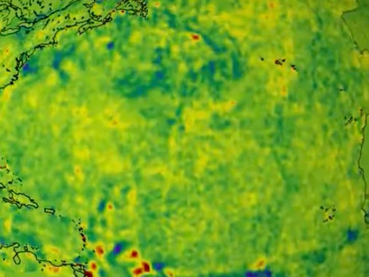
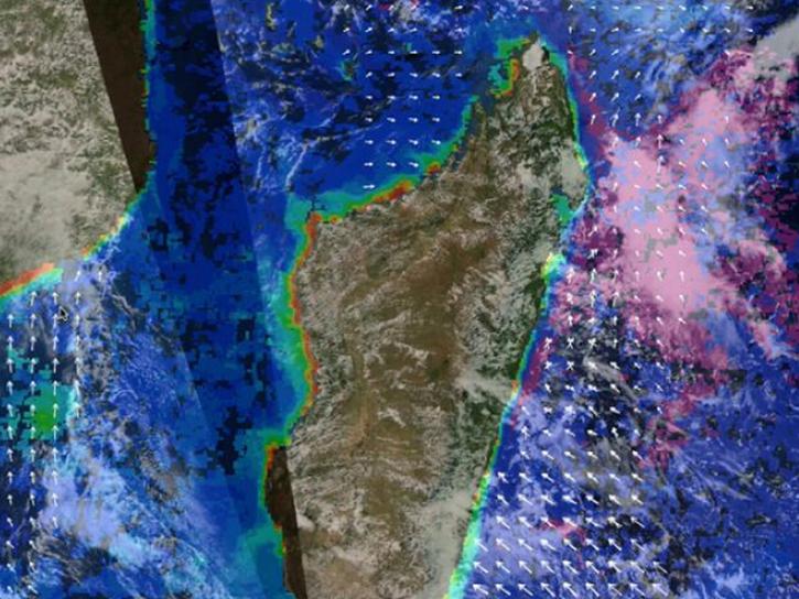
Post-storm effects included sea surface temperature cooling followed by localized chlorophyll-a blooms.
Data in Action
April 11, 2019
SHOWING 8 OF 232

MODIS News

Filters
Image captured Apr 19, 2023, by the MODIS instrument aboard NASA's Aqua satellite.
Worldview Image of the Week
April 20, 2023
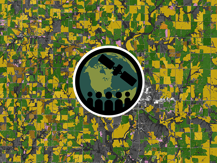
AppEEARS allows users to subset data spatially, temporally, and by layer, reducing the amount of data they need to download.
Feature Article
April 3, 2023
Image of a three-day flood composite ending Mar 22, 2023, from the MODIS instruments aboard the Terra and Aqua satellites, overlaid on a true color corrected reflectance image.
Worldview Image of the Week
March 22, 2023
SHOWING 4 OF 533

Get Help

QUESTIONS & SUPPORT

Have a question?

Get help with NASA Earth science data, datasets, tools, services, and metadata on the Earthdata Forum. Experienced staff in the data user community review and answer questions.

Get help on Earthdata Forum
Earthdata
Forum