We are in the process of migrating all NASA Earth science data sites into Earthdata from now until end of 2026. Not all NASA Earth science data and resources will appear here until then. Thank you for your patience as we make this transition.
Read about the Web Unification Project
MODIS Resources
Earthdata resources for users working with NASA’s Moderate Resolution Imaging Spectroradiometer (MODIS) data include tutorials and other learning resources, news announcements such as instrument updates and data releases, user guides and related documents, and frequently asked questions.
MODIS Learning Resources

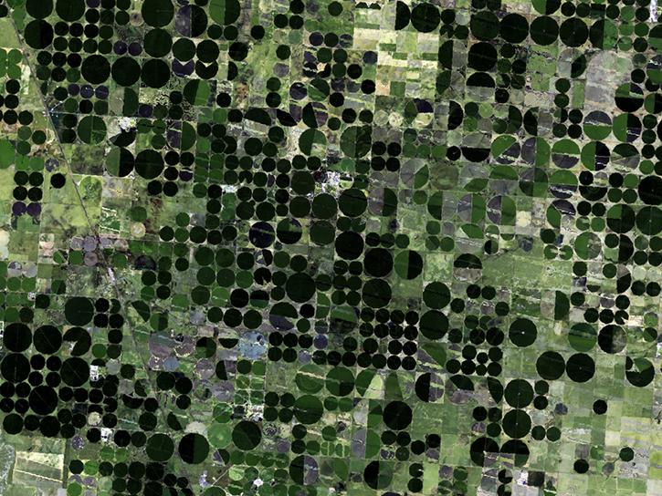
Learn how remote sensing helps classify minerals and identify faults, the effectiveness of an afforestation program, and assessing forests and grasslands disturbance.
Data in Action
May 20, 2016
Learn about Web-Enabled Landsat Data (WELD), a MEaSUREs project that created composited mosaics of the U.S. using ETM+ data from 2002 to 2012.
Data in Action
March 31, 2016
Learn how MODIS data reprocessing campaigns make the data more accurate, especially for temperature estimates of error-prone land-cover types such as deserts.
Data in Action
Feb. 24, 2016

Explore how satellite data helped assess rice crop recovery after the 2011 Japan tsunami, analyze sand dune structures in Namibia, and link groundwater levels to vegetation in China’s arid regions.
Data in Action
Feb. 10, 2016

See how MODIS Leaf Area Index data are used to complement in situ data to evaluate seasonal changes in the relationship between canopy cover and photosynthesis.
Data in Action
Jan. 27, 2016

Waves and Satellites: Effect of El Niño on Big Wave Surfing
Data in Action
Jan. 25, 2016

Emergency teams use MODIS data to monitor the locations and sizes of wildfires, observe fire patterns and durations, and track burn scars to help prevent, manage, and predict fires.
Data in Action
Nov. 25, 2015

NASA DEVELOP teams used MODIS and ASTER data to address wildfire impacts, flooding risks, and wildlife conservation through remote sensing.
Data in Action
Nov. 18, 2015
SHOWING 8 OF 200

There will be a data and imagery outage in GIBS and Worldview starting October 10, 2022. MOPITT NRT imagery will be unavailable starting October 3.
Blog
Sept. 22, 2022

The planned retirement of Terra and Aqua will have minimal impact on the continuity of the CERES long-term climate data record.
Feature Article
Sept. 21, 2022

Responding to this RFI by October 11 via NSPIRES is an opportunity for you to express your perspective on the value of continuing NASA Earth Observing System (EOS) observations, and the unique scientific contributions and applications that could result from continuing Terra, Aqua, and Aura observations through the next several years of orbital drift.
News
Sept. 15, 2022

The NASA Worldview Snapshots tool enables users to easily create satellite imagery subsets for anywhere in the world.
Blog
Sept. 11, 2022
SHOWING 4 OF 402
Frequently Asked Questions
Earthdata Forum
Our online forum provides a space for users to browse thousands of FAQs about research needs, data, and data applications. You can also submit new questions for our experts to answer.
Submit Questions to Earthdata Forumand View Expert Responses