We are in the process of migrating all NASA Earth science data sites into Earthdata from now until end of 2026. Not all NASA Earth science data and resources will appear here until then. Thank you for your patience as we make this transition.
Read about the Web Unification Project
NASA DC-8 Resources
NASA DC-8 Learning Resources

Explore datasets with the Sub-Orbital Order Tool (SOOT).
Tutorial
April 8, 2024

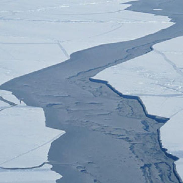
NASA’s Operation IceBridge airborne mission has flown over 700 flights through some of the most stunning regions of the Arctic and Antarctic. Join us to learn how to discover and access data that “bridges” the gap between the ICESat and ICESat-2 missions.
Webinar
April 19, 2022

Join us to learn how to harmonize IceBridge, ICESat-1, and ICESat-2 data products into similar formats and apply the necessary geophysical corrections for users to immediately access, compare, and visualize data using Python and Jupyter Notebook based tools.
Webinar
May 5, 2021
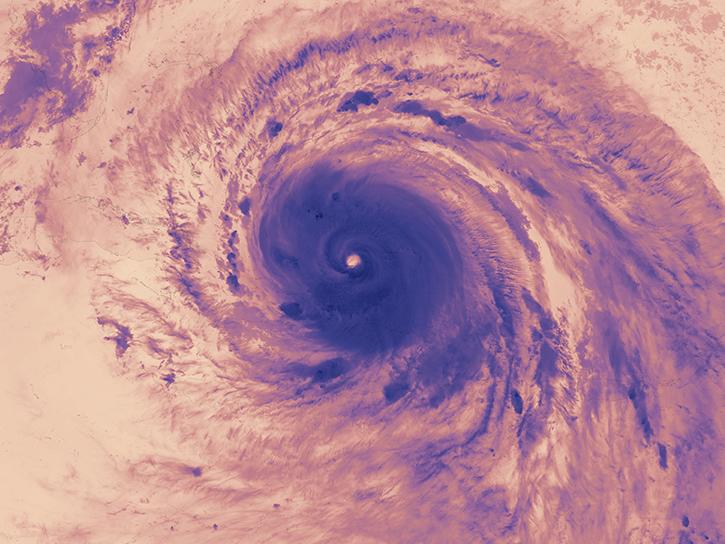
The Hurricane and Severe Storm Sentinel (HS3) field campaign helped researchers identify areas of heavy rain and wind within Ingrid ahead of landfall.
Data in Action
Nov. 15, 2018
SHOWING 4 OF 4
NASA DC-8 News
View All News
Filters

A unique campaign allows scientists to study the effects of Saharan dust storms on Atlantic hurricane development.
Feature Article
April 19, 2021
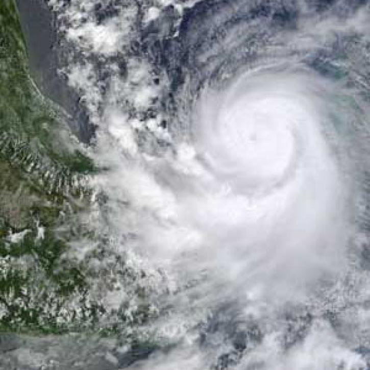
Hurricane researchers return, asking new questions.
Feature Article
April 19, 2021
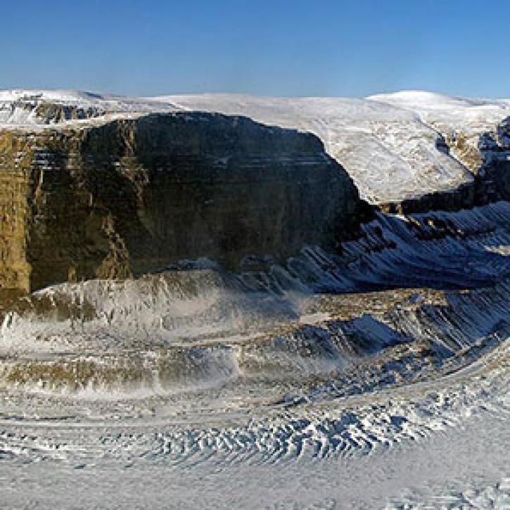
New maps get to the bottom of Greenland’s outlet glaciers.
Feature Article
Dec. 27, 2020

Who uses NASA Earth science data? Ben Holt, to study polar sea ice, coastal oceanography, and marine pollution
Data User Story
Dec. 21, 2020
SHOWING 5 OF 13
Frequently Asked Questions
Earthdata Forum
Our online forum provides a space for users to browse thousands of FAQs about research needs, data, and data applications. You can also submit new questions for our experts to answer.
Submit Questions to Earthdata Forumand View Expert Responses