We are in the process of migrating all NASA Earth science data sites into Earthdata from now until end of 2026. Not all NASA Earth science data and resources will appear here until then. Thank you for your patience as we make this transition.
Read about the Web Unification Project
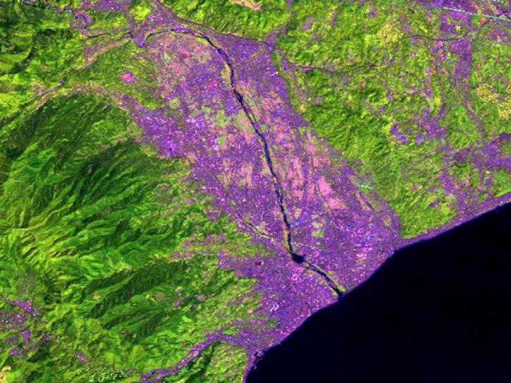
Landsat 7 Resources
Landsat 7 Learning Resources

This Jupyter Notebook shows users how to find and access Global Land Cover Mapping and Estimation Yearly 30 meter (GLanCE30) data.
External Resource
Jupyter Notebook
July 23, 2025

This advanced-level training focuses on using remote sensing observations for monitoring post-fire impacts on watershed health.
Training
July 6-13, 2023

This ARSET training focuses on developments and updates in flood monitoring tools and flood modeling techniques.
Training
Sept. 14-21, 2022

This ARSET training provides hands-on exercises to measure urban heat islands and construct heat vulnerability indices.
Training
Aug. 2-11, 2022

This ARSET training provides participants with the skills to combine in situ measurements and optical remote sensing data to assess water quality.
Training
Nov. 30 - Dec. 7, 2021

Esta capacitación de ARSET cubre similitudes y diferencias entre MODIS y VIIRS para monitoreo de calidad del agua.
Training
Sept. 14-21, 2021
This ARSET training provides an overview of the similarities and differences between MODIS and VIIRS for water quality monitoring.
Training
Sept. 14-21, 2021

Read highlights of three publications that detail how NASA Earth observation data informs earthquake prediction, the effects of wildfires on vegetation, and the impact of agriculture on African birds.
Data in Action
July 19, 2021
SHOWING 8 OF 15
Landsat 7 News
View All News
Filters

A summary of datasets, products, and resources released by NASA’s Distributed Active Archive Centers (DAACs) in August 2025.
News
Sept. 4, 2025

The Global Land Ice Measurements from Space (GLIMS) Glacier Database provides timely data on more than 200,000 glaciers around the world.
Feature Article
April 8, 2025
A summary of datasets, products, and resources released by NASA’s Distributed Active Archive Centers (DAACs) in September 2024.
News
Oct. 3, 2024

Launched September 27, Landsat 9 will provide a high-quality and reliable stream of land imaging data for the next 10-plus years.
Feature Article
Jan. 31, 2022

Data available from NASA’s LP DAAC helps scientists like Dr. Robert Wright develop systems for autonomously detecting volcanic eruptions from space.
Data User Story
Oct. 20, 2021

Dr. Bernard Hubbard uses NASA Earth science data to help locate mineral resources and assess natural hazards.
Data User Story
April 22, 2021
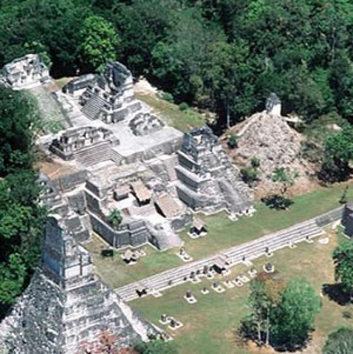
Centuries before Europeans arrived, an advanced civilization flourished in Mesoamerica, a region extending from southern Mexico through Central America. But by 950 A.D., the population had crashed. Scientists are now able to model the climate impacts of the Mayan deforestation.
Feature Article
April 19, 2021

Invasive species cost the U.S. economy approximately $120 billion a year and disrupt the dynamics of ecosystems. Researchers are increasingly using remote sensing to map where invasive species are and where they could spread in order to minimize their damage.
Feature Article
Feb. 25, 2021
SHOWING 8 OF 21
Frequently Asked Questions
Earthdata Forum
Our online forum provides a space for users to browse thousands of FAQs about research needs, data, and data applications. You can also submit new questions for our experts to answer.
Submit Questions to Earthdata Forumand View Expert Responses