We are in the process of migrating all NASA Earth science data sites into Earthdata from now until end of 2026. Not all NASA Earth science data and resources will appear here until then. Thank you for your patience as we make this transition.
Read about the Web Unification Project
NOAA-20 Resources
Documents
| Name Sort descending | Description | File Type | Date Published | |
|---|---|---|---|---|
| Discover and Access NASA's Near Real-Time Global Flood Products | This presentation provides an introduction to NASA's near real-time global flood products available through NASA's Land, Atmosphere Near real-time Capability for Earth observation. Information about how to discover, access, and use these NRT products is also provided. | PDF (16.77 mb) | Sept. 17, 2025 |
SHOWING 1 OF 1
NOAA-20 Learning Resources

This ARSET training covers how to access VIIRS data products, the differences between VIIRS and MODIS, and its air quality applications.
Training
Oct. 22, 2020

This ArcGIS Python Toolbox simplifies access to quality data by decoding complex quality information into usable thematic raster files.
Tutorial
Aug. 18, 2020

This ARSET training focuses on the use of remote sensing to understand global phenology.
Training
June 30 - July 14, 2020

During this webinar we will provide answers to commonly asked questions about NASA land processes data, services and tools, and show you how to navigate the new LP DAAC website to discover data resources.
Webinar
Jan. 15, 2020

This ARSET training covers how to access and apply satellite data relevant to land indicators, such as estimating total forest area and forest change.
Training
June 20-22, 2017

This ARSET training provides an overview of the remote sensing process, data products, and their use in air quality applications.
Training
July 6 - Aug. 3, 2016
SHOWING 6 OF 30
NOAA-20 News
View All News
Filters

Image captured on 15 November 2020, by the VIIRS instrument, aboard the joint NASA/NOAA NOAA-20 satellite.
Worldview Image of the Week
Nov. 23, 2020

With our latest release, version 3.8.2, vector capabilities have been extended to the Fire and Thermal Anomalies layers.
Blog
Nov. 13, 2020

Explore and download data and imagery from EOSDIS for the the Nepalese region affected by the earthquake on April 25, 2015 and aftershocks.
Feature Article
Nov. 4, 2020

NASA’s Land, Atmosphere Near Real-time Capability for Earth observations, better known as LANCE, is 10 years old. Here’s a look at 10 LANCE milestones over the past decade.
Feature Article
Nov. 4, 2020

Sensors aboard Earth observing satellites and NASA’s Fire Information for Resource Management System (FIRMS) provide information about wildfires 24/7 to anyone, anywhere in the world.
Feature Article
Nov. 4, 2020

Precipitation Rate on 5 July 2020 from IMERG.
Worldview Image of the Week
Nov. 4, 2020
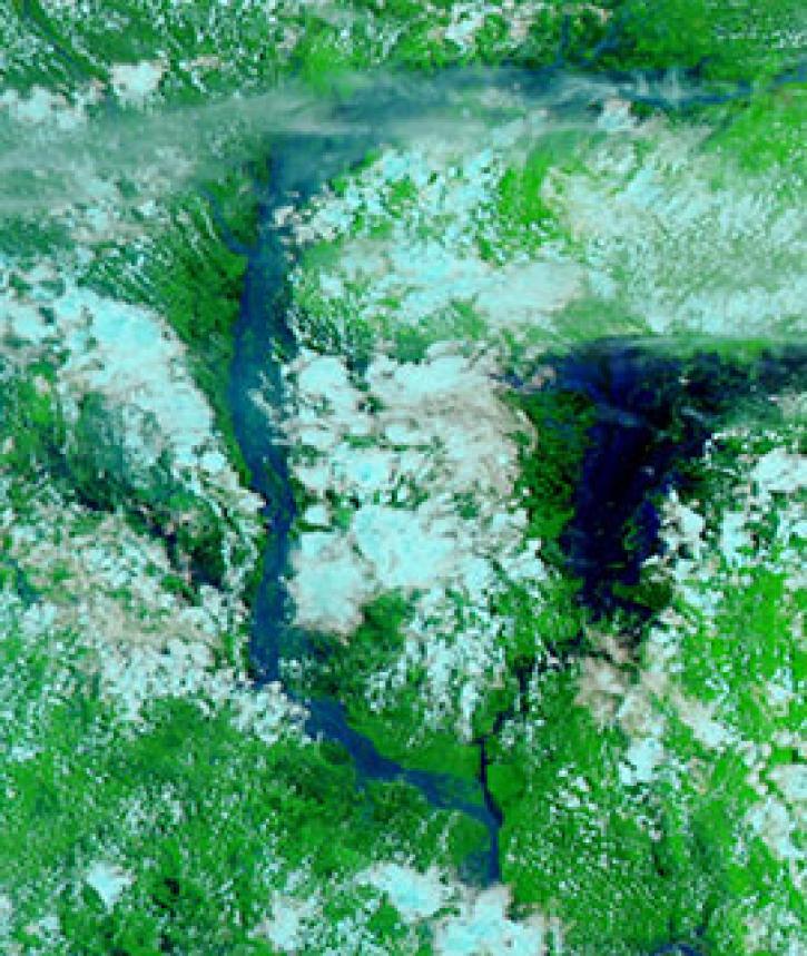
Image captured on 25 July 2020, by the VIIRS instrument, aboard the joint NASA/NOAA NOAA-20 satellite.
Worldview Image of the Week
Nov. 3, 2020

Image captured on 7 September 2020, by the VIIRS instrument, aboard the joint NASA/NOAA NOAA-20 satellite.
Worldview Image of the Week
Sept. 16, 2020
SHOWING 8 OF 116
Frequently Asked Questions
Earthdata Forum
Our online forum provides a space for users to browse thousands of FAQs about research needs, data, and data applications. You can also submit new questions for our experts to answer.
Submit Questions to Earthdata Forumand View Expert Responses