We are in the process of migrating all NASA Earth science data sites into Earthdata from now until end of 2026. Not all NASA Earth science data and resources will appear here until then. Thank you for your patience as we make this transition.
Read about the Web Unification Project
NOAA-20 Resources
NOAA-20 Learning Resources

This ArcGIS Python Toolbox simplifies access to quality data by decoding complex quality information into usable thematic raster files.
Tutorial
Aug. 18, 2020

This ARSET training focuses on the use of remote sensing to understand global phenology.
Training
June 30 - July 14, 2020

During this webinar we will provide answers to commonly asked questions about NASA land processes data, services and tools, and show you how to navigate the new LP DAAC website to discover data resources.
Webinar
Jan. 15, 2020

This ARSET training covers how to access and apply satellite data relevant to land indicators, such as estimating total forest area and forest change.
Training
June 20-22, 2017

This ARSET training provides an overview of the remote sensing process, data products, and their use in air quality applications.
Training
July 6 - Aug. 3, 2016
SHOWING 5 OF 29
NOAA-20 News
View All News
Filters
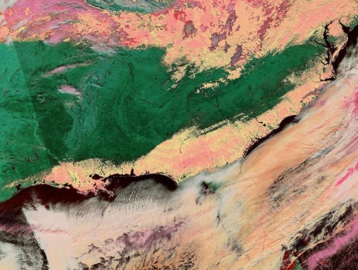
Image captured on Jan 22, 2025, by the VIIRS instrument aboard the joint NASA/NOAA NOAA-20 platform.
Worldview Image of the Week
Jan. 23, 2025

The atlas now features NASA Earth science data formatted specifically for geographic information systems (GIS) users.
Feature Article
Jan. 7, 2025

A summary of datasets, products, and resources released by NASA’s Distributed Active Archive Centers (DAACs) in November 2024.
News
Dec. 4, 2024
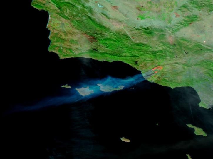
Image captured on Nov 6, 2024, by the VIIRS instrument aboard the NOAA-20 platform.
Worldview Image of the Week
Nov. 7, 2024

A summary of datasets, products, and resources released by NASA’s Distributed Active Archive Centers (DAACs) in October 2024.
News
Nov. 4, 2024

The Visible Infrared Imaging Radiometer Suite (VIIRS) will help ensure continuity of Earth observations after the upcoming retirement of the Moderate Resolution Imaging Spectroradiometer (MODIS).
Blog
Nov. 1, 2024

This dataset identifies cloudy and clear-sky scenes to ensure long term, reliable measurements of the Earth system.
News
Oct. 16, 2024
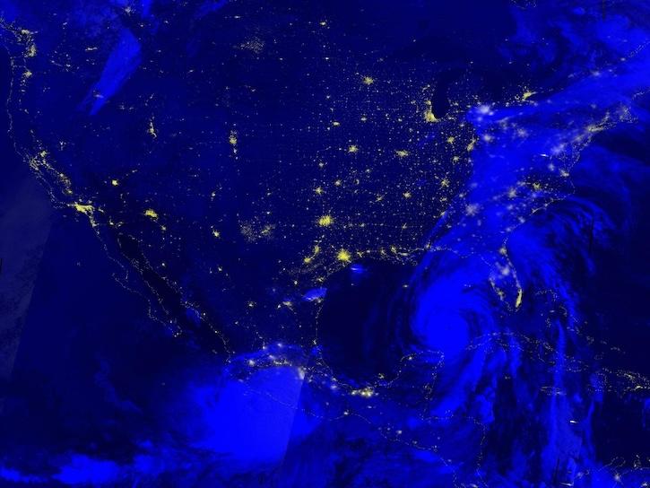
Image captured Sep 26, 2024, by the VIIRS instrument aboard the joint NASA/NOAA NOAA-20 platform.
Worldview Image of the Week
Sept. 26, 2024
SHOWING 8 OF 116
Frequently Asked Questions
Earthdata Forum
Our online forum provides a space for users to browse thousands of FAQs about research needs, data, and data applications. You can also submit new questions for our experts to answer.
Submit Questions to Earthdata Forumand View Expert Responses