We are in the process of migrating all NASA Earth science data sites into Earthdata from now until end of 2026. Not all NASA Earth science data and resources will appear here until then. Thank you for your patience as we make this transition.
Read about the Web Unification Project
NOAA-20 Resources
NOAA-20 News
View All News
Filters
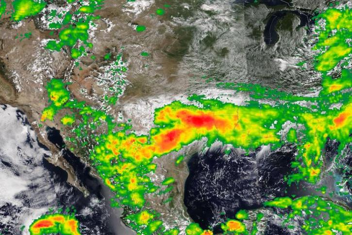
Image captured on Aug 22, 2022, by the VIIRS instrument aboard the joint NASA/NOAA NOAA-20 satellite.
Worldview Image of the Week
Aug. 23, 2022
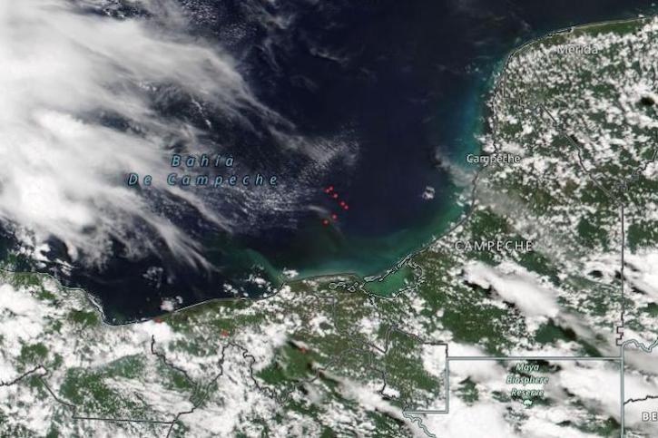
Image captured on Aug 1, 2022, by the VIIRS instrument aboard the joint NASA/NOAA NOAA-20 satellite.
Worldview Image of the Week
Aug. 2, 2022

Scientists develop routine service for wildfire detection in the continental United States with a latency of less than 60 seconds.
Feature Article
July 20, 2022

Image captured on Jul 4, 2022 by the VIIRS instrument aboard the NOAA-20 satellite.
Worldview Image of the Week
July 6, 2022

With the eventual retirement of the Terra and Aqua platforms, the Visible Infrared Imaging Radiometer Suite (VIIRS) instruments will take the lead in daily Earth observations.
Feature Article
May 18, 2022

This Earth Day we invite you to explore global, full-resolution NASA Earth science imagery to see volcanoes erupting, wildfires spreading, tropical cyclones forming, and city lights illuminating. With NASA Worldview, you can also take a snapshot, create an animated GIF, or compare imagery from two dates to view changes over time.
Feature Article
May 17, 2022

Data from NASA’s Atmospheric Science Data Center helps system engineers like Abigail Nastan develop engaging new ways of partnering with data users to maximize the benefits of NASA Earth science missions.
Data User Story
May 2, 2022

Data from NASA's LAADS DAAC help Dr. Robert Holz develop algorithms and data products for studying aerosols and clouds.
Data User Story
May 2, 2022
SHOWING 8 OF 116
Frequently Asked Questions
Earthdata Forum
Our online forum provides a space for users to browse thousands of FAQs about research needs, data, and data applications. You can also submit new questions for our experts to answer.
Submit Questions to Earthdata Forumand View Expert Responses