We are in the process of migrating all NASA Earth science data sites into Earthdata from now until end of 2026. Not all NASA Earth science data and resources will appear here until then. Thank you for your patience as we make this transition.
Read about the Web Unification Project
SMAP Resources
Earthdata offers a range of resources for users working with Soil Moisture Active Passive (SMAP) data. These include tutorials and other learning opportunities as well as related news, documents, and frequently asked questions.
Documents
| Name Sort descending | Description | File Type | Date Published | |
|---|---|---|---|---|
| NASA/RSS SMAP Salinity: Version 5.0 Validated Release | NASA/RSS SMAP Salinity: Version 5.0 Validated Release | PDF (6.13 mb) | June 21, 2023 | |
| NASA/RSS SMAP Salinity: Version 6.0 Validated Release | NASA/RSS SMAP Salinity: Version 6.0 Validated Release - Release Notes | PDF (4.34 mb) | Jan. 18, 2024 | |
| SMAP Salinity and Wind Speed Data User Guide | SMAP Salinity and Wind Speed Data User Guide | PDF (5.94 mb) | Nov. 12, 2020 |
SHOWING 3 OF 3
SMAP Learning Resources

Ocean researchers are studying the data consistency between different salinity products.
Data in Action
July 27, 2021

This ARSET training introduces how NASA earth observations can contribute to a greater understanding of energy management applications.
Training
June 1-22, 2021

Esta capacitación de ARSET cubre el uso de observaciones terrestres para el monitoreo operativo de incendios.
Training
May 11-27, 2021
This ARSET training provides lectures and case studies focused on the use of Earth observations for operational fire monitoring.
Training
May 11-27, 2021

Satellite data reveals the oceanic response to the record-setting season.
Data in Action
March 25, 2021

This ARSET training teaches how to use earth observations to estimate water budgets for a given river basin.
Training
July 21 - Aug. 4, 2020

This ARSET training addresses how to use remote sensing data for agriculture monitoring, specifically drought and crop monitoring.
Training
April 14 - May 5, 2020

Evaluating the evolution of ocean response to the 2019 Atlantic tropical cyclones.
Data in Action
April 2, 2020
SHOWING 8 OF 36
SMAP News
View All News
Filters

Data from NASA’s ASF DAAC helps scientists like Dr. Zhong Lu develop satellite radar remote-sensing techniques for studying geohazards.
Data User Story
July 28, 2022

Synthetic Aperture Radar (SAR) Data from NASA’s ASF DAAC helps scientists like Dr. Steve Bowman provide Utah’s citizens with timely scientific information about the state’s geologic hazards.
Data User Story
June 29, 2021

Researchers follow the wanderings of fresh water in the tropics.
Feature Article
March 1, 2021

Invasive species cost the U.S. economy approximately $120 billion a year and disrupt the dynamics of ecosystems. Researchers are increasingly using remote sensing to map where invasive species are and where they could spread in order to minimize their damage.
Feature Article
Feb. 25, 2021

Researchers study the recipe for salt, currents, and climate.
Feature Article
Dec. 28, 2020
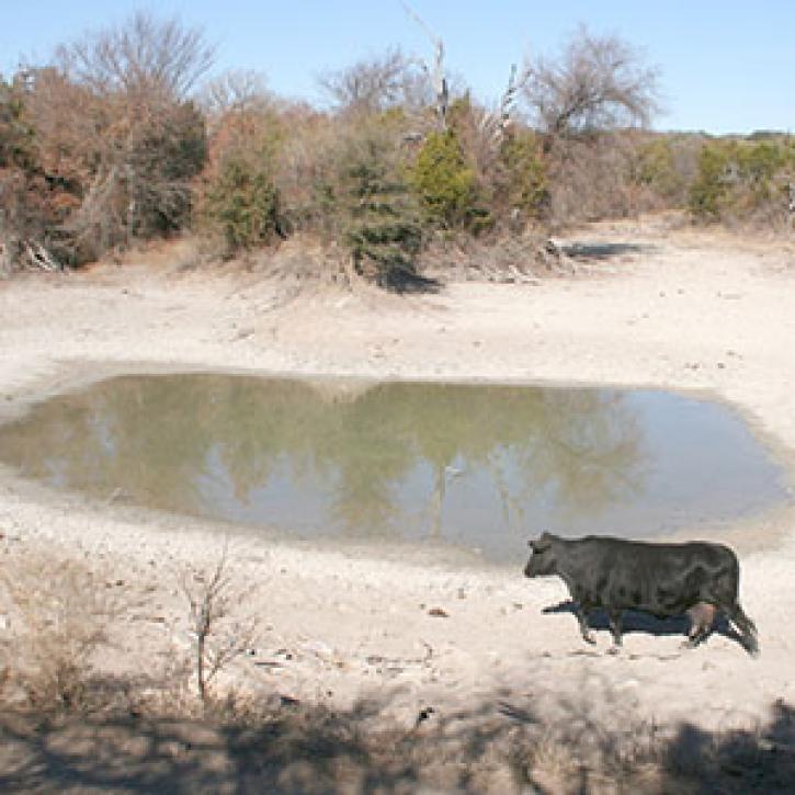
Ranchers want to know what to do about dry spells.
Feature Article
Dec. 27, 2020
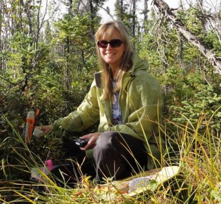
Who uses NASA Earth science data? Dr. Laura Bourgeau-Chavez, for studying wetlands and wildfire.
Data User Story
Dec. 22, 2020

Who uses NASA Earth science data? Dr. Kristine M. Larson, to explore new ways of using remote sensing technologies.
Data User Story
Dec. 22, 2020
SHOWING 8 OF 43
Frequently Asked Questions
Earthdata Forum
Our online forum provides a space for users to browse thousands of FAQs about research needs, data, and data applications. You can also submit new questions for our experts to answer.
Submit Questions to Earthdata Forumand View Expert Responses