We are in the process of migrating all NASA Earth science data sites into Earthdata from now until end of 2026. Not all NASA Earth science data and resources will appear here until then. Thank you for your patience as we make this transition.
Read about the Web Unification Project
Suomi NPP Resources
Suomi NPP Learning Resources
Learn how to access and use VIIRS/Suomi-NPP data products.
Tutorial
Oct. 2, 2018

This ARSET training covers the NASA data and tools useful for monitoring tropical storms.
Training
May 3-10, 2018

See how data from MODIS and VIIRS allow meteorologists to observe how a hurricane formed, where it went, how long it lasted, and its impact.
Data in Action
Oct. 19, 2017

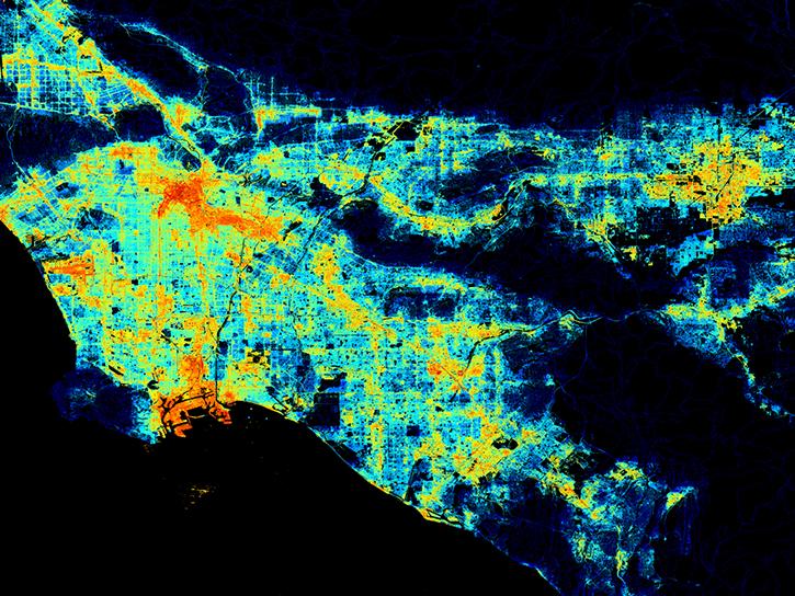
Learn how to use Visible Infrared Imaging Radiometer Suite (VIIRS) Surface Reflectance data, including data types, scale factors, and band combinations.
Tutorial
Aug. 8, 2017

Learn about the Visible Infrared Imaging Radiometer Suite (VIIRS) instrument and how to access VIIRS Surface Reflectance data.
Tutorial
Aug. 8, 2017

Follow Superstorm Sandy's lifecycle and impacts, and how the recovery of affected ecosystems were tracked by NASA remote sensing data.
Data in Action
July 6, 2017

This ARSET training covers how to access and apply satellite data relevant to land indicators, such as estimating total forest area and forest change.
Training
June 20-22, 2017
Learn how to interpret quality information within Visible Infrared Imaging Radiometer Suite (VIIRS) Surface Reflectance data.
Tutorial
Feb. 13, 2017
SHOWING 8 OF 67
Suomi NPP News
View All News
Filters

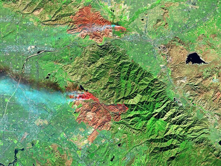
Image captured on May 9, 2022 by the VIIRS instrument aboard the joint NASA/NOAA Suomi NPP satellite.
Worldview Image of the Week
May 17, 2022

Data from NASA’s NSIDC DAAC helps scientists like Dr. Kristin Poinar develop the next generation of models for forecasting sea-level rise from melting glaciers and ice sheets.
Data User Story
May 3, 2022

Data from NASA’s Atmospheric Science Data Center helps system engineers like Abigail Nastan develop engaging new ways of partnering with data users to maximize the benefits of NASA Earth science missions.
Data User Story
May 2, 2022

Data from NASA's LAADS DAAC help Dr. Robert Holz develop algorithms and data products for studying aerosols and clouds.
Data User Story
May 2, 2022

The new Sea Level Change Data Pathfinder highlights the different datasets used to piece together the status and drivers of sea level rise.
Feature Article
Feb. 18, 2022

GeoColor imagery’s quality, frequency, and interpretability will boost the amount of near real-time imagery available in Worldview, making it even more valuable to users.
Feature Article
Jan. 25, 2022

Image captured on 25 July 2021, by the VIIRS instrument, aboard the joint NASA/NOAA Suomi NPP satellite.
Worldview Image of the Week
Jan. 10, 2022

Image captured on 18 July 2021, by the VIIRS instrument, aboard the joint NASA/NOAA Suomi NPP satellite.
Worldview Image of the Week
Jan. 4, 2022
SHOWING 8 OF 333
Frequently Asked Questions
Earthdata Forum
Our online forum provides a space for users to browse thousands of FAQs about research needs, data, and data applications. You can also submit new questions for our experts to answer.
Submit Questions to Earthdata Forumand View Expert Responses