We are in the process of migrating all NASA Earth science data sites into Earthdata from now until end of 2026. Not all NASA Earth science data and resources will appear here until then. Thank you for your patience as we make this transition.
Read about the Web Unification Project
Terra Resources
Terra Learning Resources
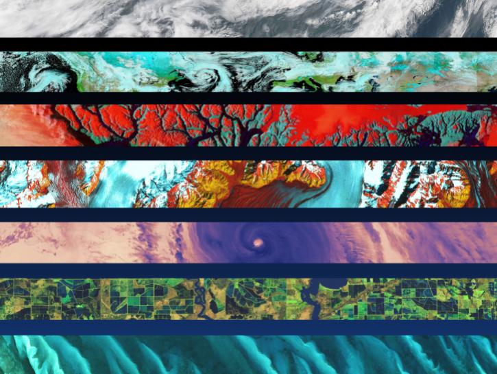
This ArcGIS Python Toolbox simplifies access to quality data by decoding complex quality information into usable thematic raster files.
Tutorial
Aug. 18, 2020
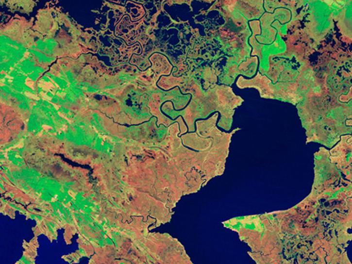
NASA's Land Processes Distributed Active Archive Center (LP DAAC) provides an introduction to learning resources for the ecology community.
Webinar
Aug. 6, 2020
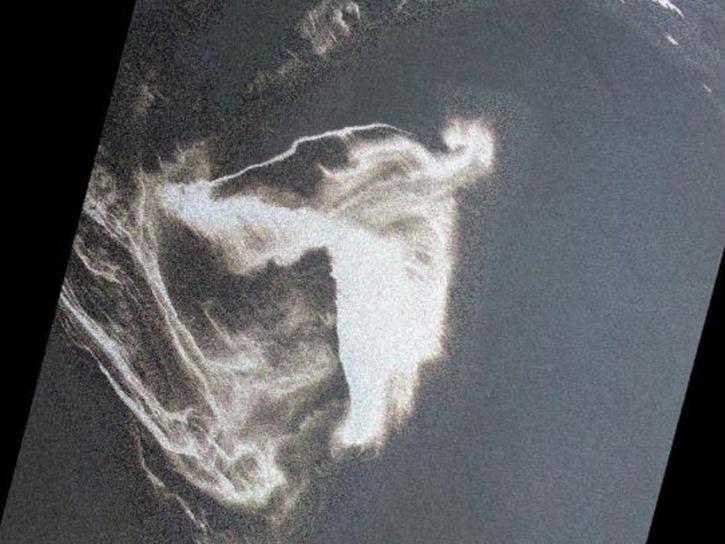
In response to the Deepwater Horizon oil spill, researchers used a machine learning algorithm to classify oil thickness with Terra ASTER data.
Data in Action
July 23, 2020
This ARSET training teaches how to use earth observations to estimate water budgets for a given river basin.
Training
July 21 - Aug. 4, 2020
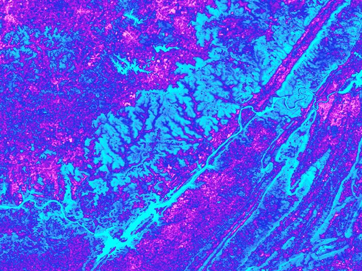
See how the Tennessee Valley Energy DEVELOP team used Earth observations to predict river water temperatures for managing and protecting aquatic ecosystems.
Data in Action
July 1, 2020
This ARSET training focuses on the use of remote sensing to understand global phenology.
Training
June 30 - July 14, 2020
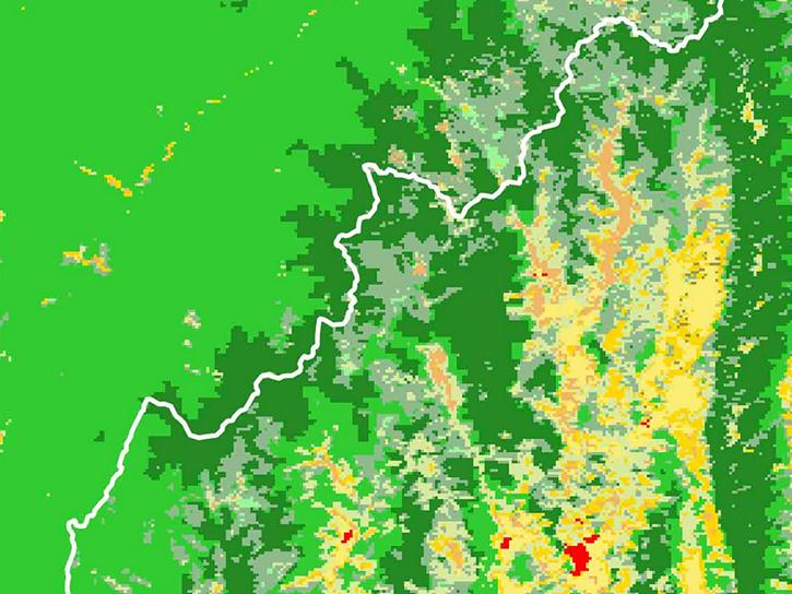
Researchers used MODIS land cover products and ASTER models to identify suitable areas where an endangered species of monkey may reside.
Data in Action
June 29, 2020

Learn how a NASA DEVELOP team helped create models to determine an ideal location for a jaguar corridor using NASA Earth observation data.
Data in Action
May 21, 2020
SHOWING 8 OF 235
Terra News
View All News
Filters

LANCE has started generating NRT daily 8-day rolling datasets following requests from the dust modeling and agricultural monitoring communities.
News
Nov. 4, 2020

A recent study reviewed the impact of satellite data in accurately forecasting the path of Hurricane Sandy. The study showed that AIRS NRT data from NASA’s polar-orbiting satellites significantly improve these predictions.
Feature Article
Nov. 4, 2020
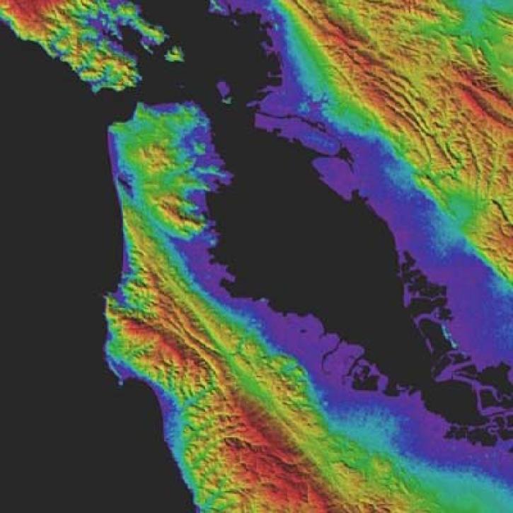
Version 3 of the ASTER Global Digital Elevation Model (GDEM) provides new features and sharper imagery.
News
Nov. 4, 2020

Dr. Don McNeil at Prince of Songkla University in Thailand uses NASA Earth observing data and tools to teach his students about the natural world.
Feature Article
Nov. 4, 2020
Global carbon monoxide data from the MOPITT instrument aboard NASA’s Terra satellite are the newest near real-time products available through the Land, Atmosphere Near real-time Capability for EOS (LANCE).
Feature Article
Nov. 4, 2020

NASA’s Land, Atmosphere Near Real-time Capability for Earth observations, better known as LANCE, is 10 years old. Here’s a look at 10 LANCE milestones over the past decade.
Feature Article
Nov. 4, 2020

Sensors aboard Earth observing satellites and NASA’s Fire Information for Resource Management System (FIRMS) provide information about wildfires 24/7 to anyone, anywhere in the world.
Feature Article
Nov. 4, 2020

High-resolution sea surface temperature data can be used to study marine heat waves and the health of marine ecosystems.
Feature Article
Nov. 4, 2020
SHOWING 8 OF 450
Frequently Asked Questions
Earthdata Forum
Our online forum provides a space for users to browse thousands of FAQs about research needs, data, and data applications. You can also submit new questions for our experts to answer.
Submit Questions to Earthdata Forumand View Expert Responses