We are in the process of migrating all NASA Earth science data sites into Earthdata from now until end of 2026. Not all NASA Earth science data and resources will appear here until then. Thank you for your patience as we make this transition.
Read about the Web Unification Project
Terra Resources
Terra Learning Resources
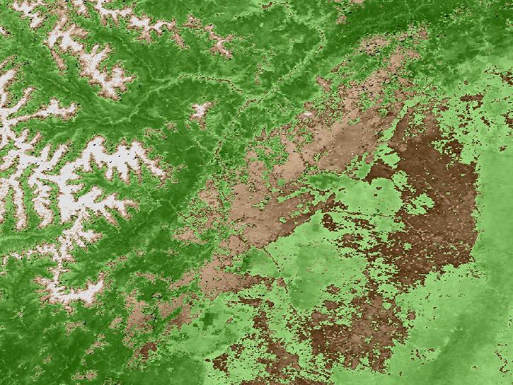
Explore how remote sensing is used to study landslide vegetation recovery in China, identify zero curtain effects for permafrost detection, and map geothermal minerals in East Africa.
Data in Action
April 28, 2020
This ARSET training addresses how to use remote sensing data for agriculture monitoring, specifically drought and crop monitoring.
Training
April 14 - May 5, 2020
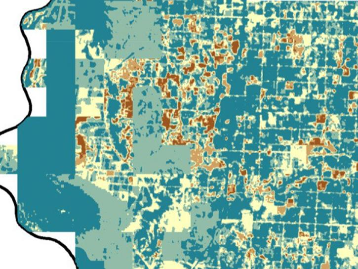
In Spring 2019 DEVELOP researchers used VIIRS and other instrument data to create models that provide fine details on drought conditions in Iowa.
Data in Action
April 13, 2020
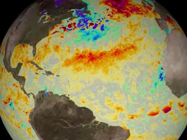
Evaluating the evolution of ocean response to the 2019 Atlantic tropical cyclones.
Data in Action
April 2, 2020
This ARSET training focuses on how to apply the UN Biodiversity Lab and NASA satellite data to conservation and SDG goals.
Training
March 24 - April 7, 2020
Cette formation ARSET est axée sur l'utilisation des données du Laboratoire de biodiversité des Nations Unies et des données satellitaires de la NASA.
Training
March 24 - April 7, 2020
Esta capacitación de ARSET se centra en cómo aplicar los datos del UN Biodiversity Lab y satélites de la NASA a las metas de los ODS.
Training
March 24 - April 7, 2020
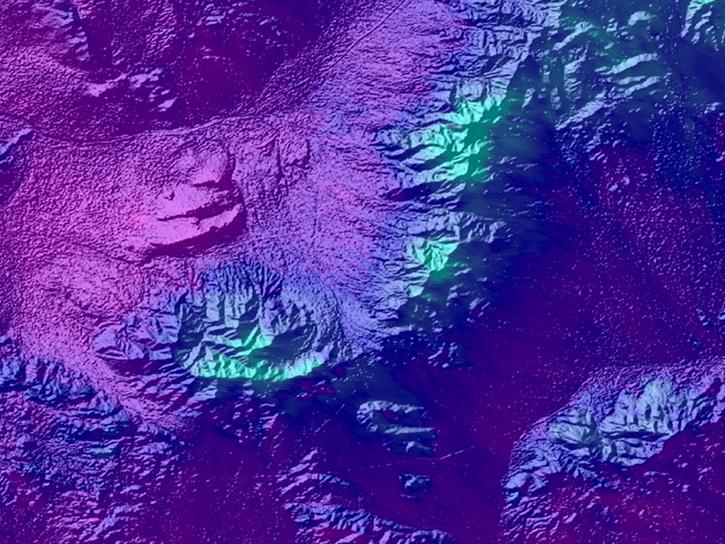
See how a DEVELOP project team employed Earth observation data to examine and predict the location of bighorn sheep habitat in the Mojave Desert.
Data in Action
Feb. 24, 2020
SHOWING 8 OF 235
Terra News
View All News
Filters

LANCE has started generating NRT daily 8-day rolling datasets following requests from the dust modeling and agricultural monitoring communities.
News
Nov. 4, 2020

A recent study reviewed the impact of satellite data in accurately forecasting the path of Hurricane Sandy. The study showed that AIRS NRT data from NASA’s polar-orbiting satellites significantly improve these predictions.
Feature Article
Nov. 4, 2020
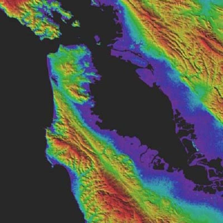
Version 3 of the ASTER Global Digital Elevation Model (GDEM) provides new features and sharper imagery.
News
Nov. 4, 2020

Dr. Don McNeil at Prince of Songkla University in Thailand uses NASA Earth observing data and tools to teach his students about the natural world.
Feature Article
Nov. 4, 2020
Global carbon monoxide data from the MOPITT instrument aboard NASA’s Terra satellite are the newest near real-time products available through the Land, Atmosphere Near real-time Capability for EOS (LANCE).
Feature Article
Nov. 4, 2020

NASA’s Land, Atmosphere Near Real-time Capability for Earth observations, better known as LANCE, is 10 years old. Here’s a look at 10 LANCE milestones over the past decade.
Feature Article
Nov. 4, 2020

Sensors aboard Earth observing satellites and NASA’s Fire Information for Resource Management System (FIRMS) provide information about wildfires 24/7 to anyone, anywhere in the world.
Feature Article
Nov. 4, 2020

High-resolution sea surface temperature data can be used to study marine heat waves and the health of marine ecosystems.
Feature Article
Nov. 4, 2020
SHOWING 8 OF 450
Frequently Asked Questions
Earthdata Forum
Our online forum provides a space for users to browse thousands of FAQs about research needs, data, and data applications. You can also submit new questions for our experts to answer.
Submit Questions to Earthdata Forumand View Expert Responses