We are in the process of migrating all NASA Earth science data sites into Earthdata from now until end of 2026. Not all NASA Earth science data and resources will appear here until then. Thank you for your patience as we make this transition.
Read about the Web Unification Project
Terra Resources
Terra Learning Resources
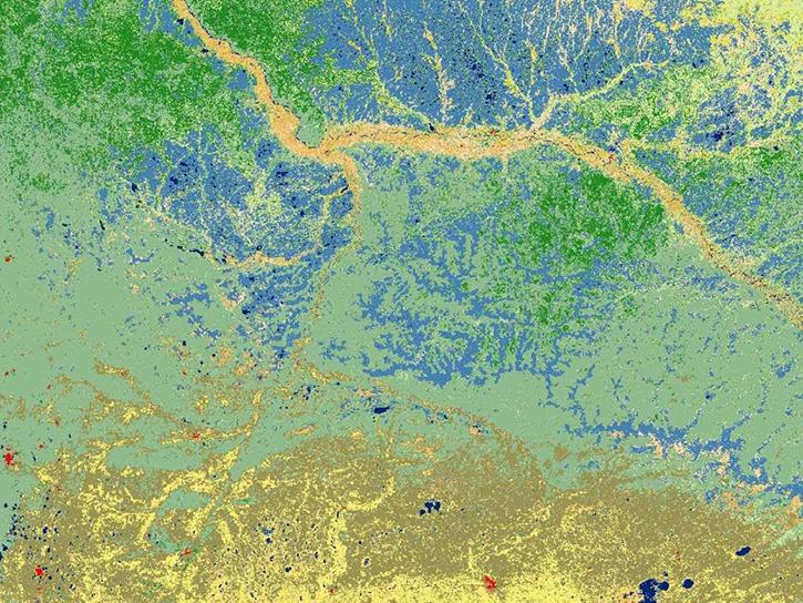
Explore how MODIS data was used to support forest monitoring in Siberia, agricultural drought analysis across Africa, and fractal-based woodland extraction in Beijing.
Data in Action
Oct. 31, 2017
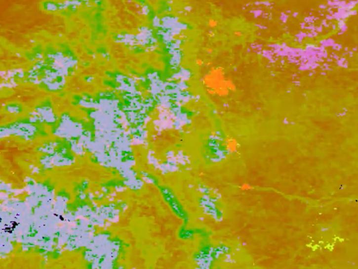
The Application for Extracting and Exploring Analysis Ready Samples (AppEEARS) Area Sampler allows users to extract, visualize, and download NASA data for an area of interest.
Tutorial
Oct. 25, 2017
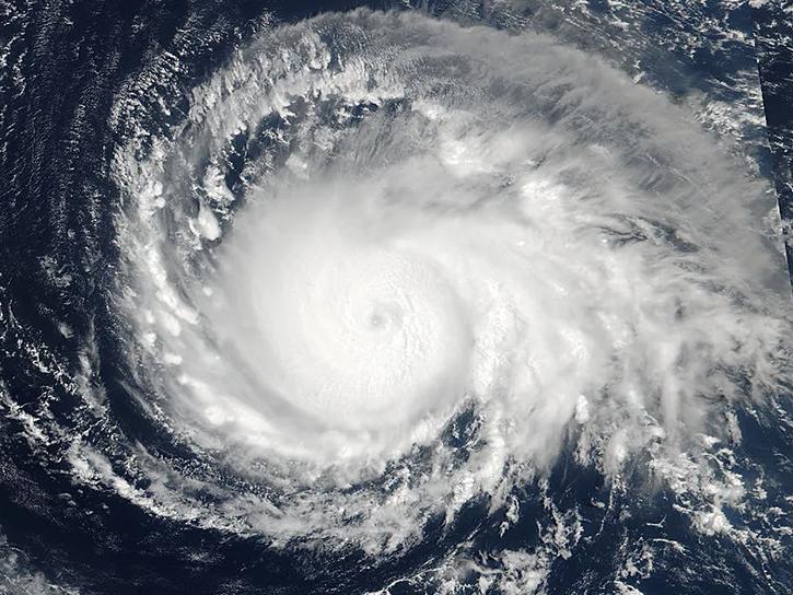
See how data from MODIS and VIIRS allow meteorologists to observe how a hurricane formed, where it went, how long it lasted, and its impact.
Data in Action
Oct. 19, 2017
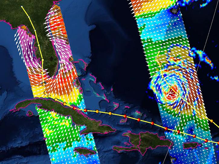
Learn how the interactive platform helps researchers analyze hurricane data.
Data in Action
Oct. 3, 2017
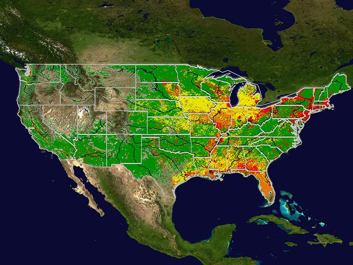
Learn how MODIS data help predict the spread of West Nile virus.
Data in Action
Sept. 17, 2017
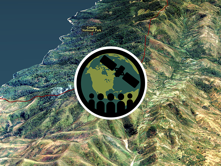
This ARSET training provides an overview of remote sensing products, tools, and applications for ecological modeling.
Training
Sept. 7-28, 2017
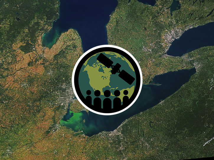
This ARSET training covers how to use remote sensing to identify impaired water quality from harmful algal blooms.
Training
Sept. 5-26, 2017

Learn how ecologists used MODIS data to show vegetation's impact on Oregon bird communities.
Data in Action
Aug. 30, 2017
SHOWING 8 OF 235
Terra News
View All News
Filters
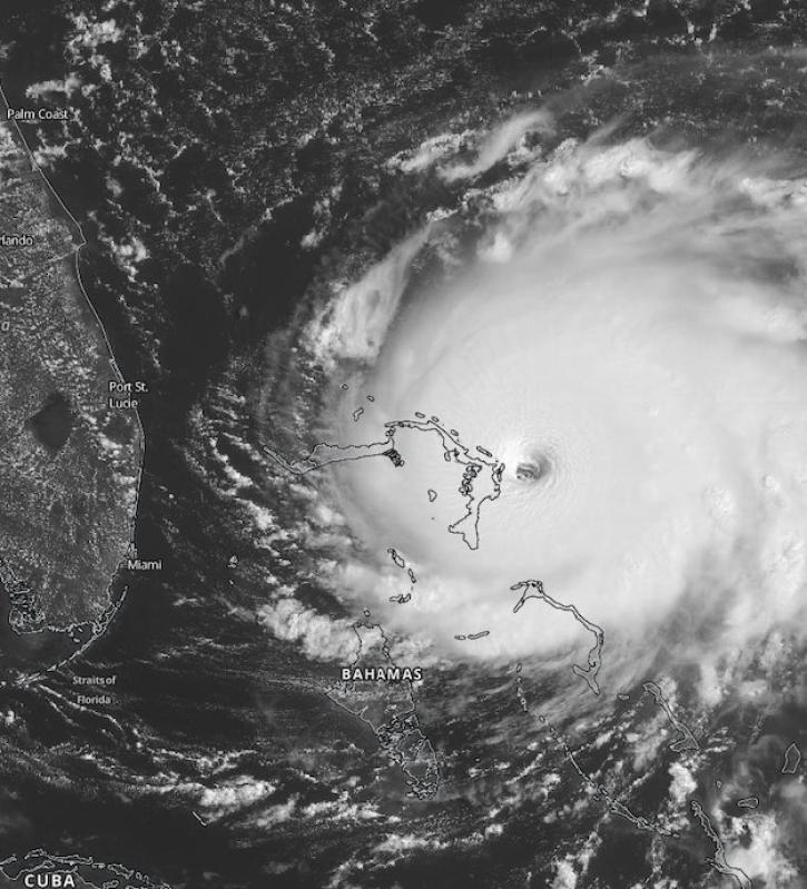
Scientists at NASA's Short-Term Prediction Research and Transition (SPoRT) project use near real-time data to help the operational weather community with hurricane forecasting.
Feature Article
Nov. 4, 2020
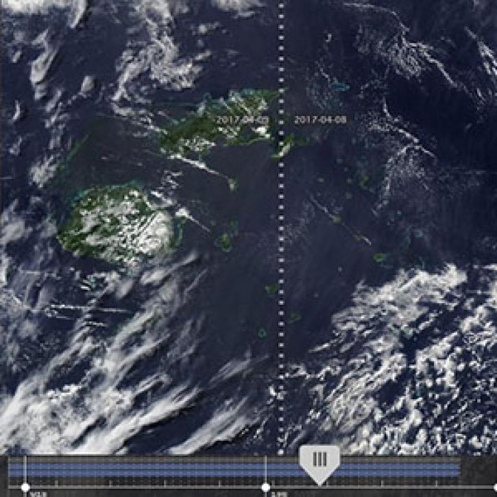
New features in Worldview 1.4.0 (along with new imagery to view using Worldview) allow you to more easily and completely explore the planet using NASA Earth science data.
Feature Article
Nov. 4, 2020

Observe changes in land surface temperature over the course of 2017, with NASA Terra Moderate Resolution Imaging Spectroradiometer (MODIS) images.
Feature Article
Nov. 4, 2020

MODIS Terra Collection 6 Aerosol, Cloud, and other Atmospheric Level-2 and Level-3 Data
News
Nov. 4, 2020
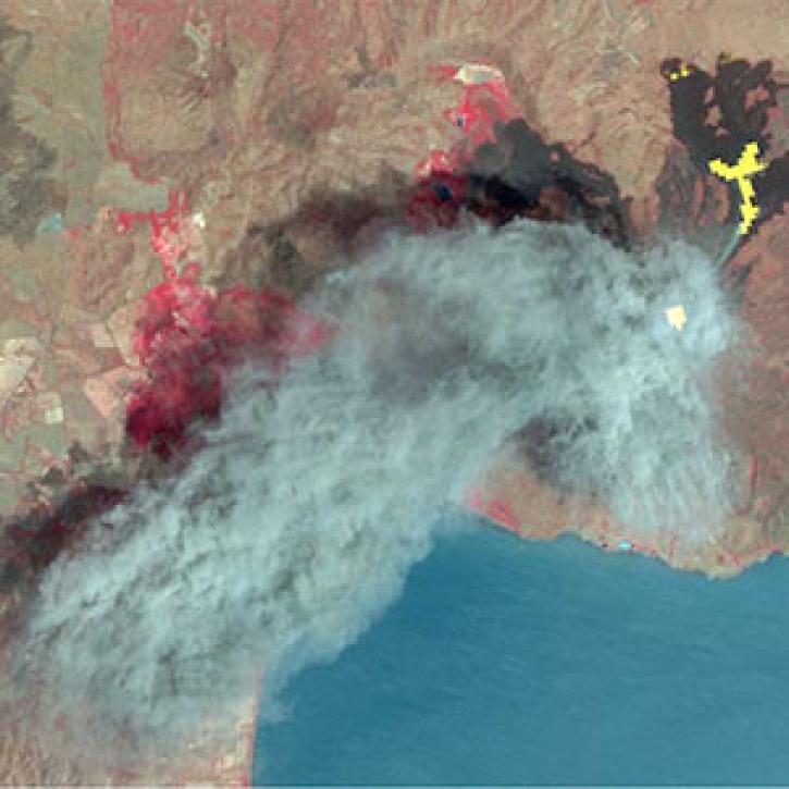
As of 1 April 2016, all Advanced Spaceborne Thermal Emission Reflection Radiometer (ASTER) data products are available at no charge from LP DAAC.
News
Nov. 4, 2020
After more than 20 years in space, the five instruments aboard NASA’s Terra satellite continue their singular achievement of compiling a climate data record of Earth.
Feature Article
Nov. 4, 2020
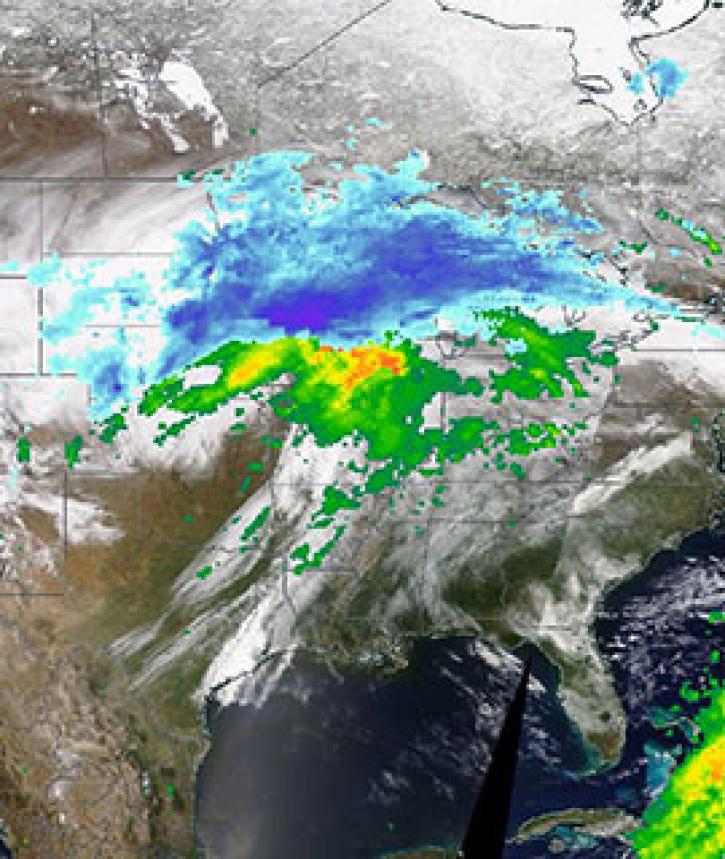
Image captured on 11 April 2019, by the MODIS instrument, aboard the Terra satellite and overlaid with IMERG Rain and Snow rates.
Worldview Image of the Week
Nov. 4, 2020

Image captured on 11 January 2020, by the MODIS instrument, aboard the Terra satellite.
Worldview Image of the Week
Nov. 4, 2020
SHOWING 8 OF 450
Frequently Asked Questions
Earthdata Forum
Our online forum provides a space for users to browse thousands of FAQs about research needs, data, and data applications. You can also submit new questions for our experts to answer.
Submit Questions to Earthdata Forumand View Expert Responses