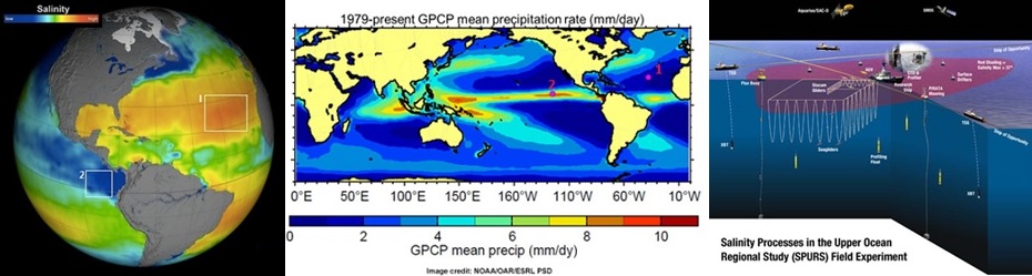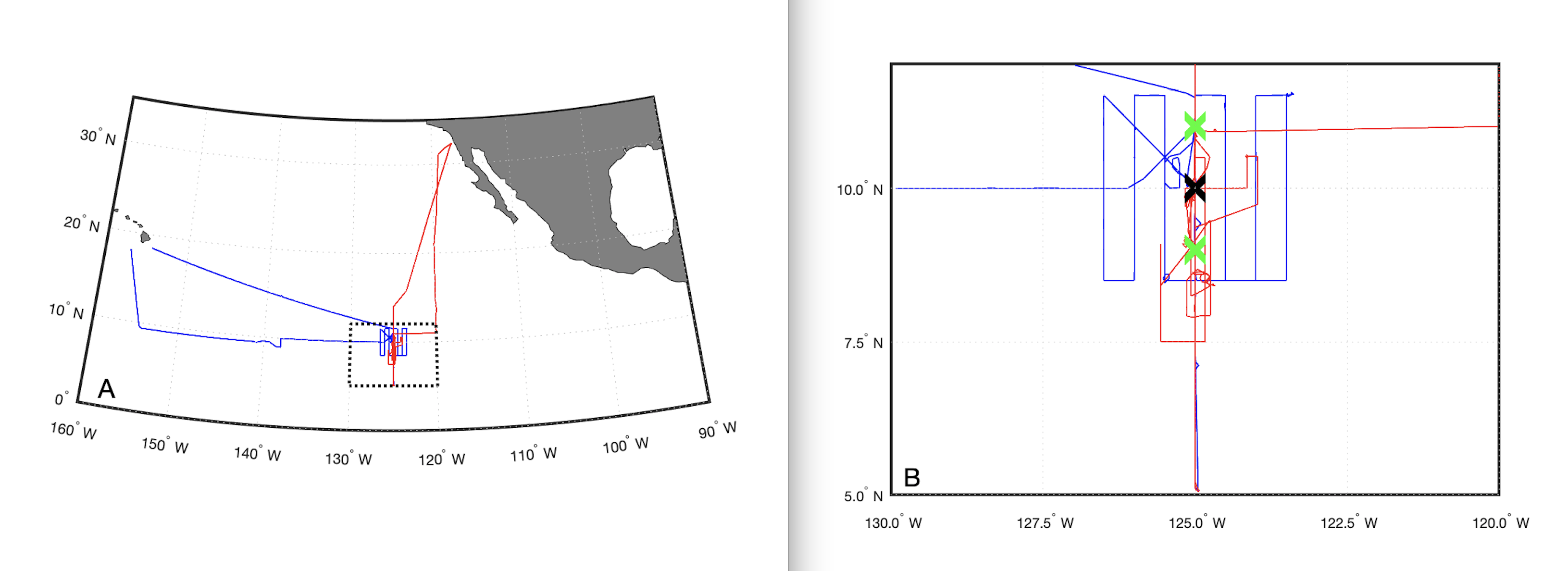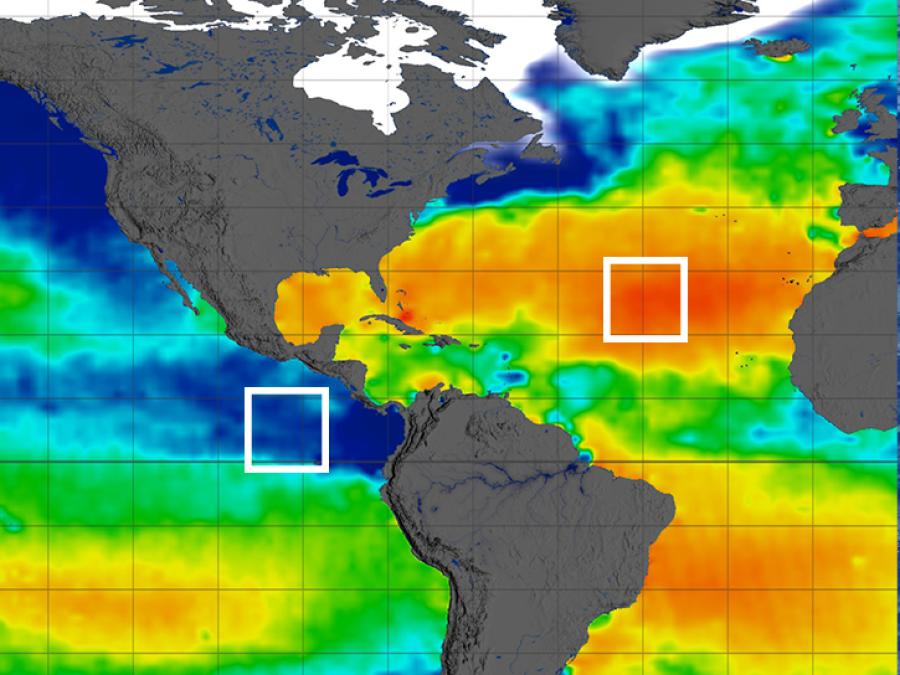
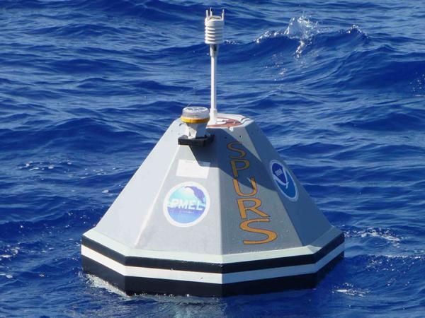
Funded principally by NASA with support from other U.S. agencies and European partners, the project involved two field campaigns and a series of cruises in regions of the Atlantic and Pacific Oceans exhibiting salinity and precipitation extremes (Figure 1). SPURS employed a suite of state-of-the-art in-situ sampling technologies that, combined with remotely sensed salinity fields from the Aquarius/SAC-D, Soil Moisture Active Passive (SMAP), and Soil Moisture and Ocean Salinity (SMOS) satellites, provided a detailed characterization of salinity structure over a continuum of spatio-temporal scales. The coupling of resulting data with physical oceanographic models is a further distinguishing feature of SPURS synthesis activities, which aim to understand underlying physical processes at work.
SPURS
The Salinity Processes in the Upper Ocean Regional Study (SPURS) project was a series of science process studies and associated oceanographic field campaigns that aimed to elucidate key mechanisms responsible for near-surface salinity variations in the oceans. In particular, SPURS sought to quantify the relative significance of circulation, evaporation, precipitation over a range of scales for representative areas of the open ocean. In so doing, it addresses the fundamental role the ocean plays in global water cycle budgets and its relationship to climate.
Data
Principal Investigator
Partners
Data Centers
Funding Programs
Figure 1: Left: Global annual map of surface ocean salinity from Aquarius indicating SPURS-1 and 2 campaign sampling areas within salinity maximum and minimum regions of the subtropical N. Atlantic and Eastern Tropical Pacific respectively. Middle: Global precipitation patterns showing the location of the SPURS-1 and 2 campaigns in low and high rainfall regions respectively. Right: The SPURS sensor-web illustrating the integrated use of diverse sampling platforms and instrumentation to provide coverage over a continuum of scales.