We are in the process of migrating all NASA Earth science data sites into Earthdata from now until end of 2026. Not all NASA Earth science data and resources will appear here until then. Thank you for your patience as we make this transition.
Read about the Web Unification Project
Featured Data Tools
From discovery to visualization, our data tools simplify and streamline Earth science research.
Worldview offers the capability to interactively browse over 1,200 global, full-resolution satellite imagery layers and download the underlying data.
The The Application for Extracting and Exploring Analysis Ready Samples (AppEEARS) offers users a simple and efficient way to perform data access and transformation processes.
Earthdata Search enables data discovery, search, comparison, visualization, and access across NASA’s Earth science data holdings.
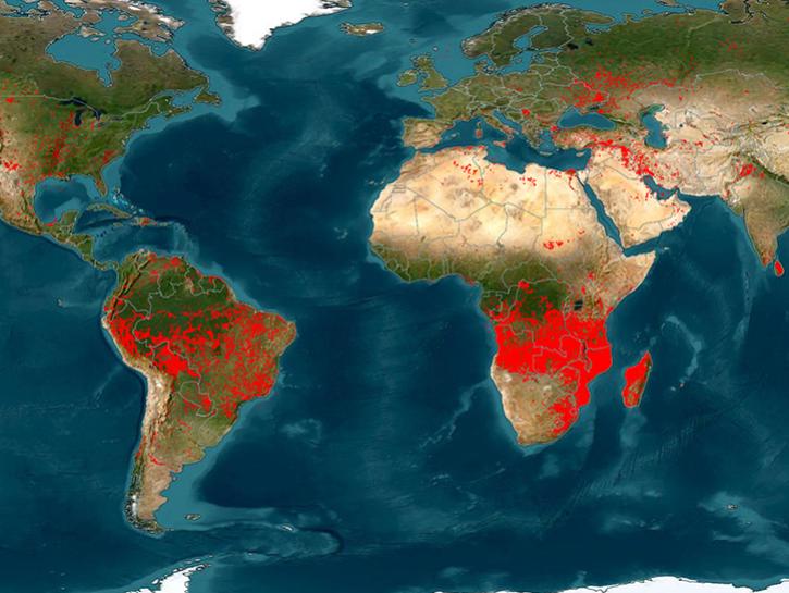
The Fire Information for Resource Management System (FIRMS) provides access to satellite imagery, active fire/hotspots, and related products to identify the location, extent, and intensity of wildfire activity.
Earthdata GIS is a resource for distributing cloud-native, GIS-ready NASA Earth science data and services, including over 200 raster and feature geospatial services as well as resources such as thematic applications and ArcGIS StoryMaps.
Explore All Data Tools
| Tool Sort descending | Description | Services | |
|---|---|---|---|
| LDOPE | Access a range of software tools designed to manipulate, visualize, and analyze MODIS and VIIRS data. | Analysis, Visualization | |
| LIS Space Time Domain Search | The Lightning Imaging Sensor (LIS) Space Time Domain Search allows users to quickly perform a space time domain search of LIS science products. | Search and Discovery | |
| LP DAAC Data Pool | Access LP DAAC data files via HTTPS. | Access | |
| LP DAAC Data Prep Scripts | Access a collection of R and Python scripts to download data and perform basic data processing functions. | ||
| LP DAAC Web Services | Access services to assist with accessing and using LP DAAC data. | Access | |
| LP DAAC2Disk | Streamline search and download when accessing LP DAAC data products | ||
| Metadata Compliance Checker | The Metadata Compliance Checker is an automated tool, written in Python, that checks metadata attributes for presence and adherence to standard. | ||
| MINX | MINX is an interactive application that functions both as a general-purpose tool to visualize Multi-Angle Imaging SpectroRadiometer (MISR) data and as a specialized tool to retrieve detailed plume heights and wind velocities from wildfire smoke, volcanic, and dust plumes. | Analysis, Search and Discovery, Visualization | |
| MISR Browse Tool | The MISR Browse Tool allows easy access to images from the MISR instrument. | Analysis, Search and Discovery, Visualization | |
| MISR Level 3 Data Browser | The MISR Level 3 Data Browser provides visualizations of select parameters available in the MISR Level 3 global data products. | Analysis, Search and Discovery, Visualization |
Pagination
SHOWING 10 OF 86


