Delivery of Suomi National Polar-orbiting Partnership (Suomi NPP) satellite data products will cease on November 1, 2026. Data users should transition now to alternative products from NOAA-21 and NOAA-20.
Suomi NPP data announcement
Featured Data Tools

Worldview offers the capability to interactively browse over 1,200 global, full-resolution satellite imagery layers and download the underlying data.
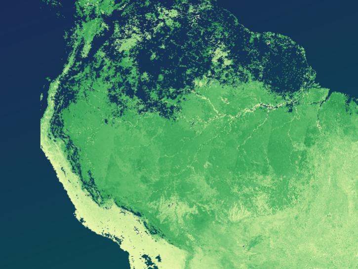
The Application for Extracting and Exploring Analysis Ready Samples (AppEEARS) offers a simple and efficient way to perform data access and transformation processes.
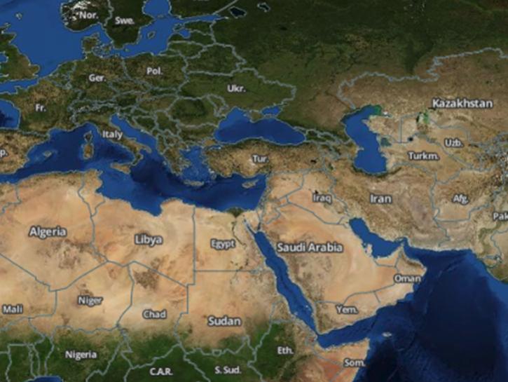
Earthdata Search enables data discovery, search, comparison, visualization, and access across NASA’s Earth science data holdings.
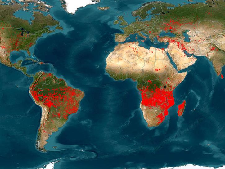
The Fire Information for Resource Management System (FIRMS) provides access to satellite imagery, active fire/hotspots, and related products to identify the location, extent, and intensity of wildfire activity.
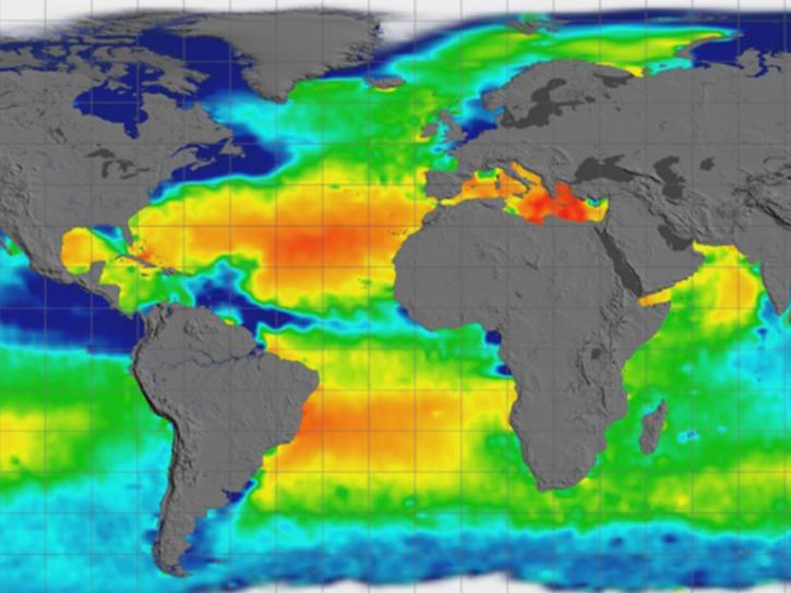
Earthdata GIS is a resource for distributing cloud-native, GIS-ready NASA Earth science data and services, including over 200 raster and feature geospatial services as well as resources such as thematic applications and ArcGIS StoryMaps.
Explore All Data Tools
| Tool Sort descending | Description | Services | |
|---|---|---|---|
| OPERA Product Resources | Resources related to OPERA data production and product use. | Access, Downloading, Search and Discovery | |
| Panoply | Panoply is a cross-platform application that plots geo-referenced and other arrays from netCDF, HDF, GRIB, and other datasets. | Visualization, Customization, Reformatting, Subsetting, Comparison | |
| Phenomena Detection Portal | The Phenomena Detection Portal uses machine learning for real-time detection of Earth science phenomena. | Analysis, Search and Discovery, Visualization | |
| PO.DAAC Data Downloader and Subscriber | Continually download PO.DAAC data products from the cloud. | Downloading, Search and Discovery | |
| POWER DAV | The POWER project’s Data Access Viewer (DAV) is an interactive web-mapping application that provides access to NASA’s customized solar and meteorological data catalog. | Analysis, Downloading, Subsetting, Visualization | |
| POWER PRUVE | PRUVE is an online validation tool created by NASA's Prediction of Worldwide Energy Resources (POWER) project that compares surface satellite-based and assimilation data products to in-situ surface site measurements. | Analysis, Visualization | |
| pyQuARC | NASA's pyQuARC tool assesses the quality, consistency, and robustness of Earth observation metadata. | Metadata Assessment | |
| RTC Stack Processor | The radiometric terrain correction (RTC) stack processor tool facilitates time-series analysis of such phenomena as flooding events, deforestation, or glacier retreat. | Analysis, Processing, Search and Discovery, Visualization | |
| SeaBASS | SeaBASS is public archive of ocean and atmosphere data captured in situ. The archive is maintained by NASA's Ocean Biology Processing Group (OBPG). | Downloading | |
| SeaDAS | Sea, earth, atmosphere Data Analysis System (SeaDAS) is a comprehensive image analysis package for the processing, display, analysis, and quality control of ocean color data. | Analysis, Visualization, Processing |
SHOWING 10 OF 83