We are in the process of migrating all NASA Earth science data sites into Earthdata from now until end of 2026. Not all NASA Earth science data and resources will appear here until then. Thank you for your patience as we make this transition.Read about the Web Unification Project
Description
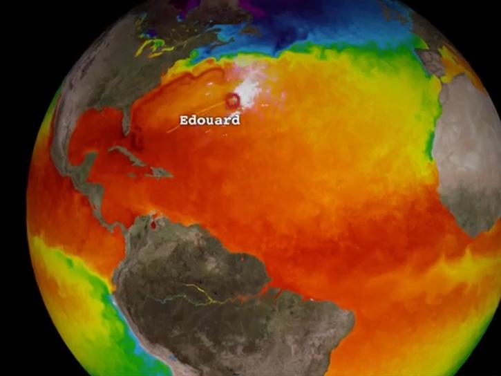
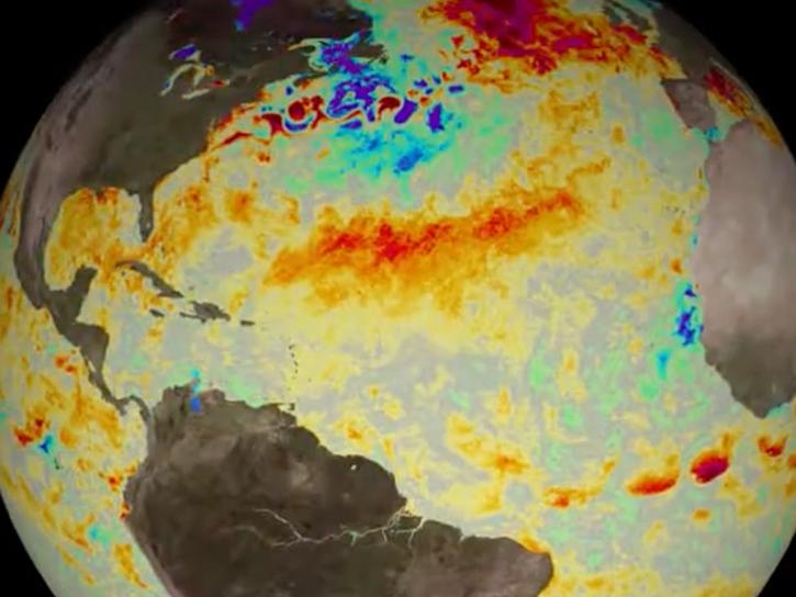
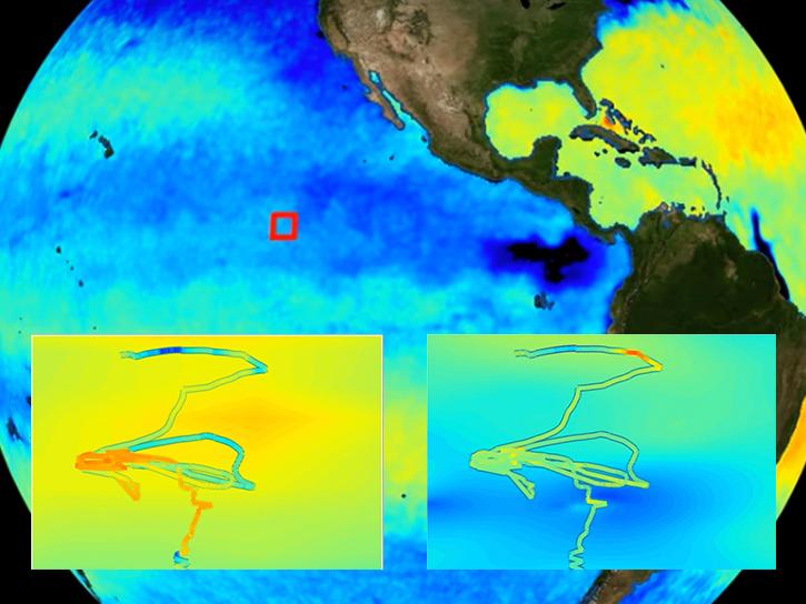
A Group for High Resolution Sea Surface Temperature (GHRSST) Level 4 sea surface temperature analysis produced as a retrospective dataset (four day latency) and near-real-time dataset (one day latency) at the JPL Physical Oceanography DAAC using wavelets as basis functions in an optimal interpolation approach on a global 0.01 degree grid. The version 4 Multiscale Ultrahigh Resolution (MUR) L4 analysis is based upon nighttime GHRSST L2P skin and subskin SST observations from several instruments including the NASA Advanced Microwave Scanning Radiometer-EOS (AMSR-E), the JAXA Advanced Microwave Scanning Radiometer 2 on GCOM-W1, the Moderate Resolution Imaging Spectroradiometers (MODIS) on the NASA Aqua and Terra platforms, the US Navy microwave WindSat radiometer, the Advanced Very High Resolution Radiometer (AVHRR) on several NOAA satellites, and in situ SST observations from the NOAA iQuam project. The ice concentration data are from the archives at the EUMETSAT Ocean and Sea Ice Satellite Application Facility (OSI SAF) High Latitude Processing Center and are also used for an improved SST parameterization for the high-latitudes. The dataset also contains additional variables for some granules including the SST anomaly (variable sst_anomaly) derived from a MUR climatology, and the temporal distance in hours to the nearest IR measurement for each pixel (variable dt_1km_data). Variable dt_1km_data first appears in the time series on October 4, 2015, while sst_anomaly starts July 23, 2019. This dataset was originally funded by the NASA MEaSUREs program (http://earthdata.nasa.gov/our-community/community-data-system-programs/measures-projects), and created by a team led by Dr. Toshio M. Chin from JPL. It adheres to the GHRSST Data Processing Specification (GDS) version 2 format specifications. Use the file global metadata "history:" attribute to determine if a granule is near-realtime or retrospective.
Citation is critically important for dataset documentation and discovery. This dataset is openly shared, without restriction, in accordance with the EOSDIS Data Use and Citation Guidance.
Copy Citation
Citation Copied
NASA/JPL. (2015). GHRSST Level 4 MUR Global Foundation Sea Surface Temperature Analysis (v4.1) [Data set]. NASA Physical Oceanography Distributed Active Archive Center. https://doi.org/10.5067/GHGMR-4FJ04 Date Accessed: 2026-05-31
NASA/JPL. “GHRSST Level 4 MUR Global Foundation Sea Surface Temperature Analysis (v4.1).” NASA Physical Oceanography Distributed Active Archive Center, 2015. doi:10.5067/GHGMR-4FJ04. Date Accessed: 2026-05-31
NASA/JPL. GHRSST Level 4 MUR Global Foundation Sea Surface Temperature Analysis (v4.1). NASA Physical Oceanography Distributed Active Archive Center, 2015, doi:10.5067/GHGMR-4FJ04. Date Accessed: 2026-05-31
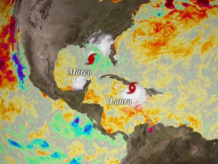
Explore sea surface temperature anomalies in the Gulf of America before, during, and after Tropical Cyclones Laura and Marco with NASA's MUR SST dataset.
Cullen, Joshua A., Domit, Camila, Lamont, Margaret M., Marshall, Christopher D., Santos, Armando J. B., Sasso, Christopher R., Al Ansi, Mehsin, Hart, Kristen M., Fuentes, Mariana M. P. B.