Delivery of Suomi National Polar-orbiting Partnership (Suomi NPP) satellite data products will cease on November 1, 2026. Data users should transition now to alternative products from NOAA-21 and NOAA-20.
Suomi NPP data announcement
Featured Projects
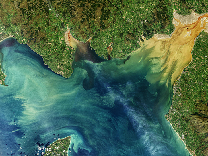
NASA's Applied Remote Sensing Training (ARSET) program teaches people to use Earth-observing data in their environmental management and decision-making.

At night, satellite images of Earth capture a uniquely human signal—artificial lighting. Remotely-sensed lights at night improve our understanding of interactions between human systems and the environment.
Explore All Projects
Filters
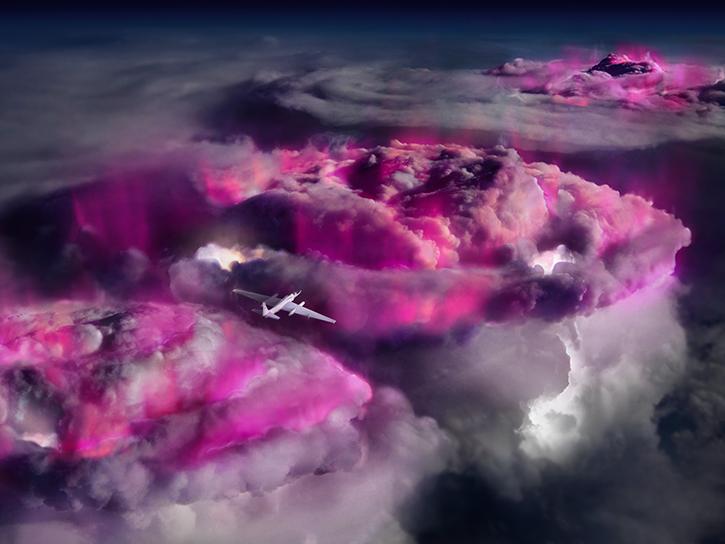
ALOFT aimed to observe terrestrial gamma-ray flashes (TGFs) and gamma-ray glows in thunderstorms and thelp validate observations from other NASA projects.
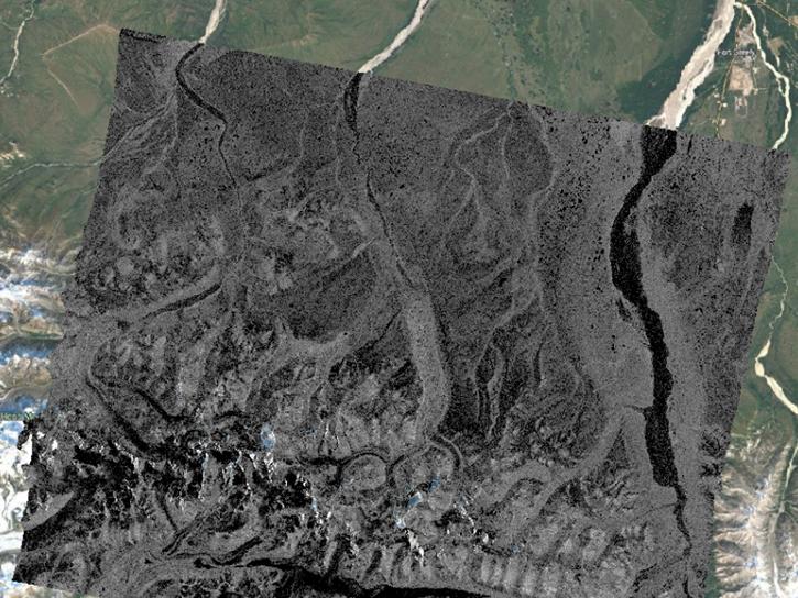
The creation of radiometric terrain corrected (RTC) products was a project of the Alaska Satellite Facility to make SAR data accessible to a broader community of users.

The Analysis and Review of the Common Metadata Repository improved the discoverability and accessibility of NASA’s Earth science data.
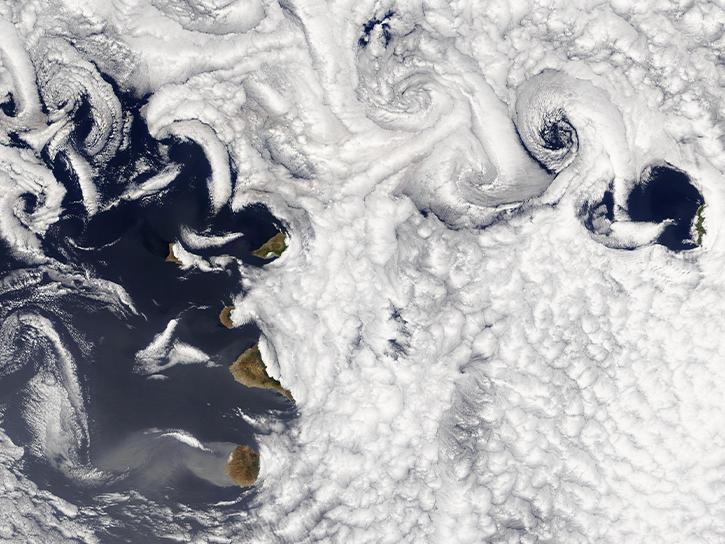
The Air Quality Data for Health-Related Applications (AQDH) collection of air quality data can be used for health-related research and applications.
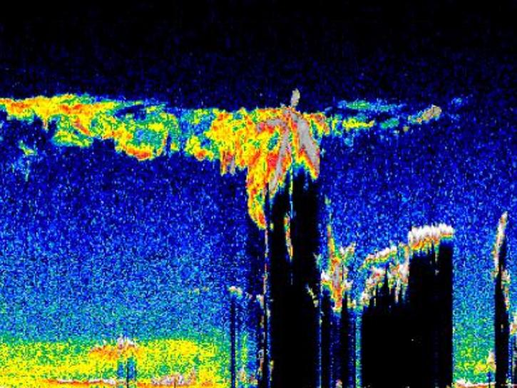
ARB is a ground-based 48-inch LIDAR system that has obtained semi-regular measurements since May 1974.
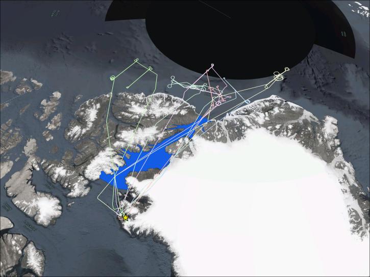
ARCSIX was a field investigation to quantify contributions of surface properties, clouds, aerosols, and precipitation to the Arctic summer surface radiation budget and to sea ice melting.
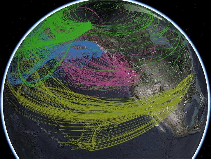
ARCTAS was a field campaign that explored environmental processes related to the high degree of climate sensitivity in the Arctic.
ARESE sought to understand the interactions between solar energy and clear and cloudy skies in order to gain knowledge about these enhanced absorption measurements and to improve modeling for the absorption of solar radiation.
SHOWING 8 OF 206