Aboard NASA’s many platforms are sophisticated instruments that collect a wide range of data about our planet. Our instruments can track wildfires in real time, detect minute changes in the Earth’s atmosphere, and help agricultural communities optimize their crop cycles. Explore how our data can enhance your Earth science research.
 

Explore Instruments

Filters

LMA

A Lightning Mapping Array (LMA) is a network of antennas, GPS receivers, and processing systems that detect total lightning.
17 datasets

LRA

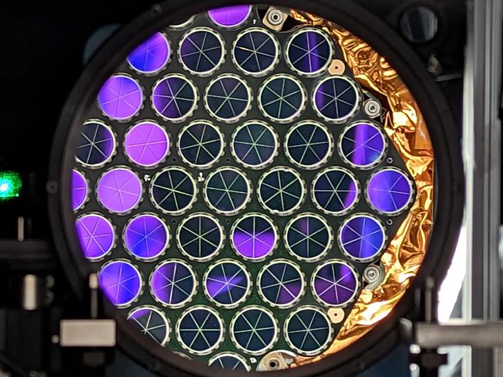
NASA's Laser Reflector Assembly is a passive array of mirrors that provides a target for laser tracking measurements from ground stations.
49 datasets
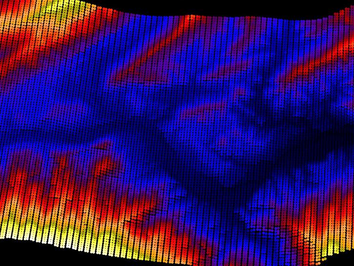
The Land, Vegetation, and Ice Sensor (LVIS) is an airborne imaging lidar used for making topographical maps and studying the vertical structure of vegetation and ice.
26 datasets
The Multicenter Airborne Coherent Atmospheric Wind Sensor (MACAWS) is an airborne side-scanning Doppler laser radar (lidar) which measures two dimensional wind fields, vertical wind profiles, and aerosol backscatter from clear air and clouds.
1 dataset
NASA’s Multi-Angle Imager for Aerosols (MAIA) investigation seeks to understand how different types of air pollution affect human health.
2 datasets
SHOWING 8 OF 196

Join Our Community of NASA Data Users

While NASA data are openly available without restriction, an Earthdata Login is required to download data and to use some tools with full functionality.

Learn About the Benefits of Earthdata Login

Get Help

QUESTIONS & SUPPORT

Have a question?

Get help with NASA Earth science data, datasets, tools, services, and metadata on the Earthdata Forum. Experienced staff in the data user community review and answer questions.

Get help on Earthdata Forum
Earthdata
Forum