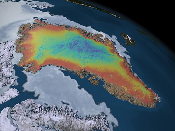
Aboard NASA’s many platforms are sophisticated instruments that collect a wide range of data about our planet. Our instruments can track wildfires in real time, detect minute changes in the Earth’s atmosphere, and help agricultural communities optimize their crop cycles. Explore how our data can enhance your Earth science research.
 

Explore Instruments

Filters

IIR

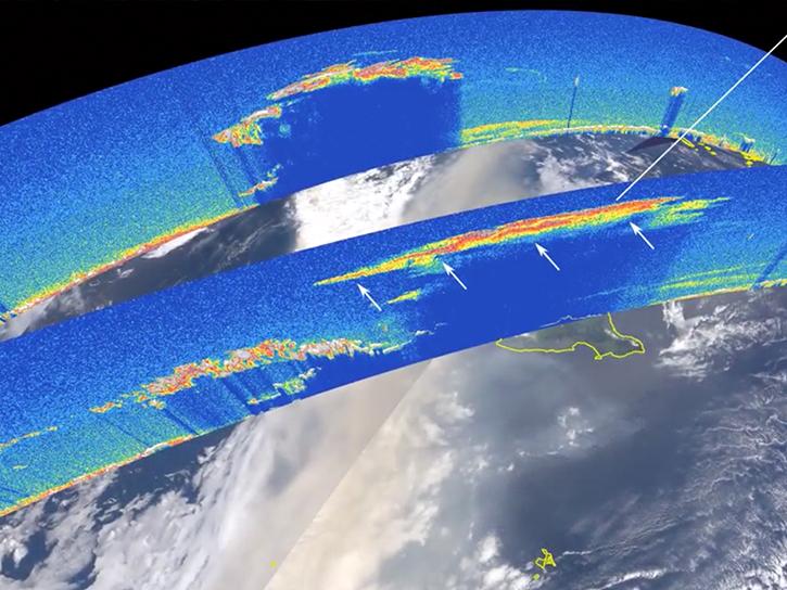
The IIR aboard the Cloud-Aerosol Lidar and Infrared Pathfinder Satellite Observations (CALIPSO) satellite is a nadir-viewing, non-scanning radiometer.
11 datasets
NASA's Jason-1 Microwave Radiometer measures atmospheric water vapor content to determine how water vapor impacts radar signal propagation.
28 datasets
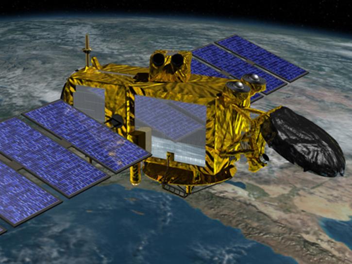
The Jason-Class Altimeter aboard SWOT collects nadir measurements of ocean surface topography.
78 datasets
KaRIn is an altimeter used to measure water surface heights and one instrument aboard NASA's Surface Water and Ocean Topography (SWOT) satellite.
56 datasets
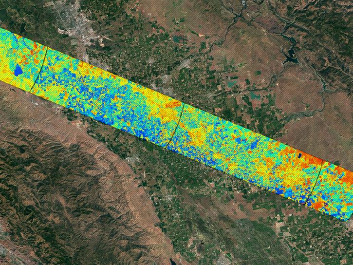
KBRA is an airborne instrument designed to collect high precision surface elevation measurements over polar ice sheets.
SHOWING 8 OF 196

Join Our Community of NASA Data Users

While NASA data are openly available without restriction, an Earthdata Login is required to download data and to use some tools with full functionality.

Learn About the Benefits of Earthdata Login

Get Help

QUESTIONS & SUPPORT

Have a question?

Get help with NASA Earth science data, datasets, tools, services, and metadata on the Earthdata Forum. Experienced staff in the data user community review and answer questions.

Get help on Earthdata Forum
Earthdata
Forum