Aboard NASA’s many platforms are sophisticated instruments that collect a wide range of data about our planet. Our instruments can track wildfires in real time, detect minute changes in the Earth’s atmosphere, and help agricultural communities optimize their crop cycles. Explore how our data can enhance your Earth science research.
 

Explore Instruments

Filters
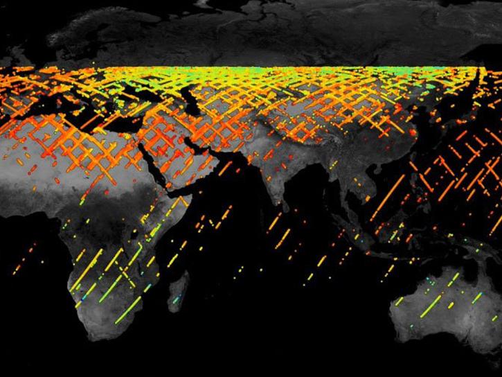
NSCAT was designed to provide the first long-term data record of global high resolution ocean surface wind vector measurements.
9 datasets

OCI

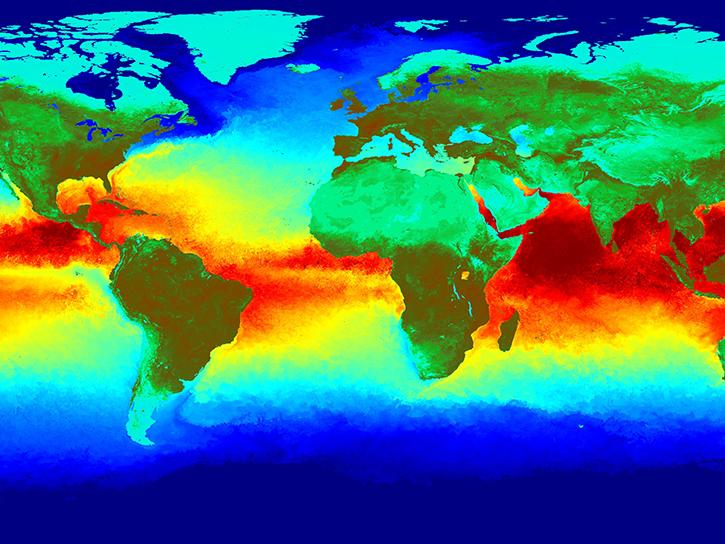
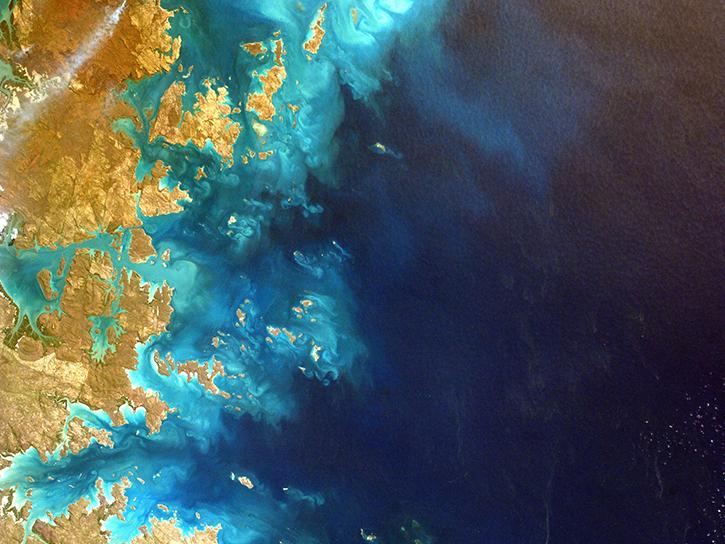
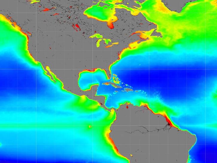
By monitoring global phytoplankton distribution and abundance, NASA's Ocean Color Instrument helps researchers better understand the complex systems that drive ocean ecology.
66 datasets

OLI

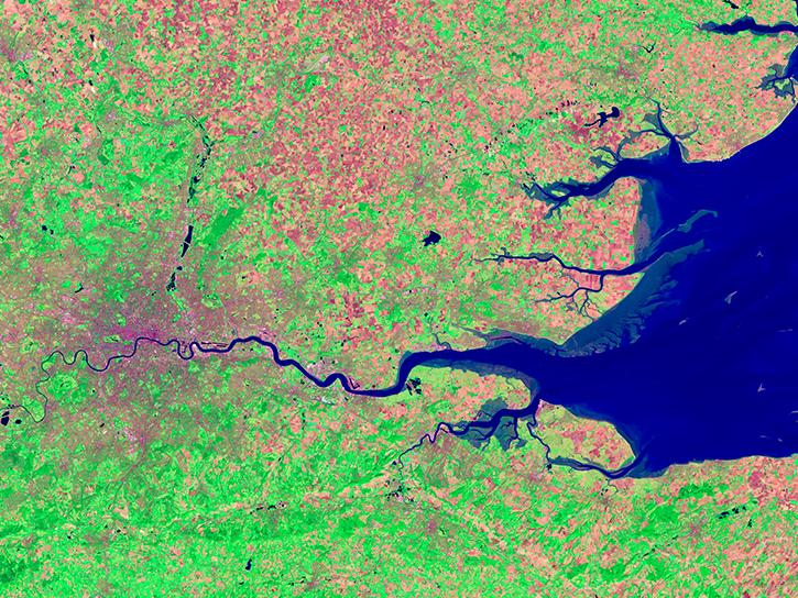
The Operational Land Imager aboard Landsats 8 and 9 measures nine bands in the visible, near infrared, and shortwave infrared portions of the spectrum.
91 datasets

OLS

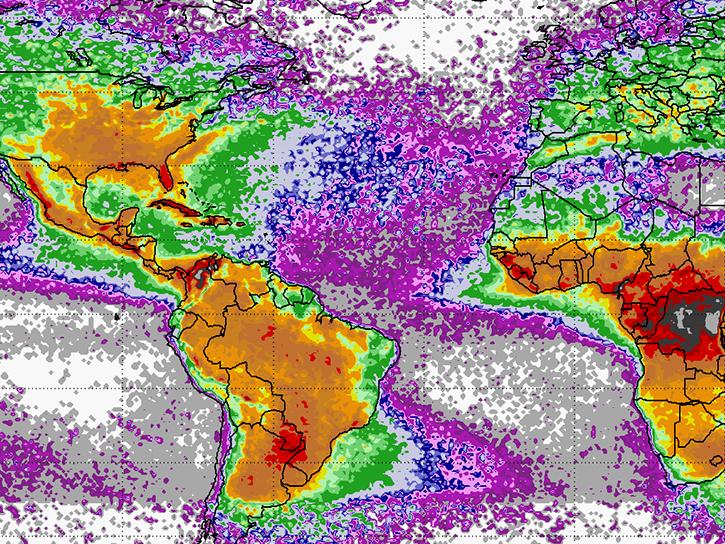
This instrument was a prototype for the EOS Lightning Imaging Sensor (LIS) that was launched on the Tropical Rainfall Measuring Mission (TRMM).
6 datasets
SHOWING 8 OF 196

Join Our Community of NASA Data Users

While NASA data are openly available without restriction, an Earthdata Login is required to download data and to use some tools with full functionality.

Learn About the Benefits of Earthdata Login

Get Help

QUESTIONS & SUPPORT

Have a question?

Get help with NASA Earth science data, datasets, tools, services, and metadata on the Earthdata Forum. Experienced staff in the data user community review and answer questions.

Get help on Earthdata Forum
Earthdata
Forum