Due to the lapse in federal government funding, NASA is not updating this website. We sincerely regret this inconvenience.
Featured Data Tools
From discovery to visualization, our data tools simplify and streamline Earth science research.
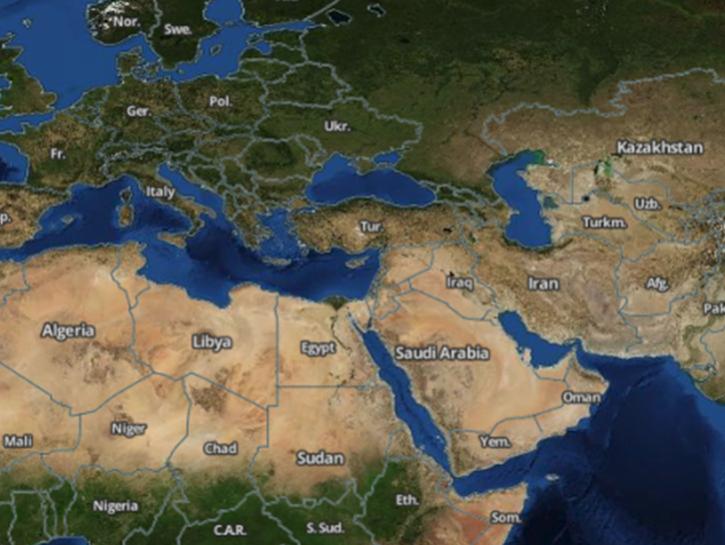
Worldview offers the capability to interactively browse over 1,200 global, full-resolution satellite imagery layers and download the underlying data.
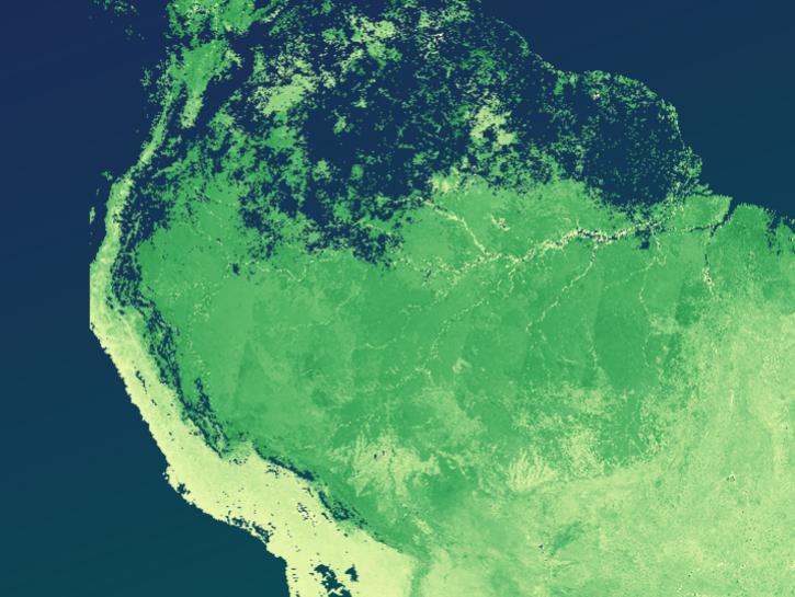
The The Application for Extracting and Exploring Analysis Ready Samples (AppEEARS) offers users a simple and efficient way to perform data access and transformation processes.
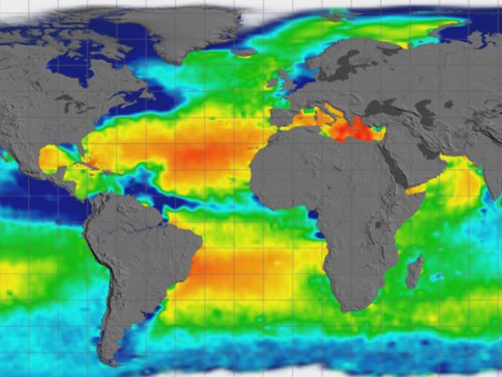
Earthdata Search enables data discovery, search, comparison, visualization, and access across NASA’s Earth science data holdings.
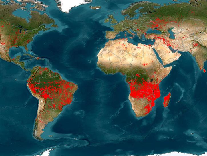
The Fire Information for Resource Management System (FIRMS) provides access to satellite imagery, active fire/hotspots, and related products to identify the location, extent, and intensity of wildfire activity.
Earthdata GIS is a resource for distributing cloud-native, GIS-ready NASA Earth science data and services, including over 200 raster and feature geospatial services as well as resources such as thematic applications and ArcGIS StoryMaps.
Explore All Data Tools
| Tool Sort descending | Description | Services | |
|---|---|---|---|
| GUARDIAN | The GNSS-based Upper Atmospheric Realtime Disaster Information and Alert Network (GUARDIAN) is a near real-time (NRT) ionospheric monitoring tool for natural hazards warning. | Monitoring Natural Events | |
| Hazards Mapper | The Hazards Mapper enables users to rapidly get an idea of the population, land area, dams, and nuclear power plants that could be impacted by a wide range of natural events, including floods, earthquakes, fires, and volcanic eruptions. | Analysis, Search and Discovery, Visualization | |
| HEG | Reformat, re-project, and perform stitching/mosaicing and subsetting operations on HDF-EOS products. | Reformatting, Reprojection, Subsetting | |
| Hurricane Intensity Estimator | NASA's Hurricane Intensity Estimator is an online platform that demonstrates the use of a machine learning model for estimating the wind speed of hurricanes. | Visualization, Monitoring Natural Events | |
| HyP3 | HyP3 is a service for processing Synthetic Aperture Radar (SAR) imagery that addresses many common issues for users of SAR data. | Processing | |
| ImageLabeler | ImageLabeler is an open source, web-based tool that allows users to create tagged images for use in training image-based machine learning models for Earth science phenomena. | Data Curation | |
| International Directory Network | The International Directory Network (IDN) provides access to more than 52,000 Earth science dataset descriptions that cover subject areas within Earth and environmental sciences. | ||
| LDOPE | Access a range of software tools designed to manipulate, visualize, and analyze MODIS and VIIRS data. | Analysis, Visualization | |
| LIS Space Time Domain Search | The Lightning Imaging Sensor (LIS) Space Time Domain Search allows users to quickly perform a space time domain search of LIS science products. | Search and Discovery | |
| LP DAAC Data Pool | Access LP DAAC data files via HTTPS. | Access |
Pagination
SHOWING 10 OF 78


