Delivery of Suomi National Polar-orbiting Partnership (Suomi NPP) satellite data products will cease on November 1, 2026. Data users should transition now to alternative products from NOAA-21 and NOAA-20.
Suomi NPP data announcement
Data in Action
All across the planet, NASA Earth science data are used to meet real-world challenges.
Featured Data in Action
5 MIN READ
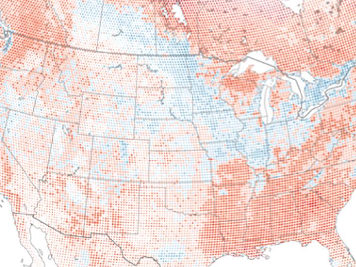
The eBird project uses NASA data and observations from amateur birdwatchers to provide insights into the decline in avian populations throughout North America.
June 17, 2025
5 MIN READ
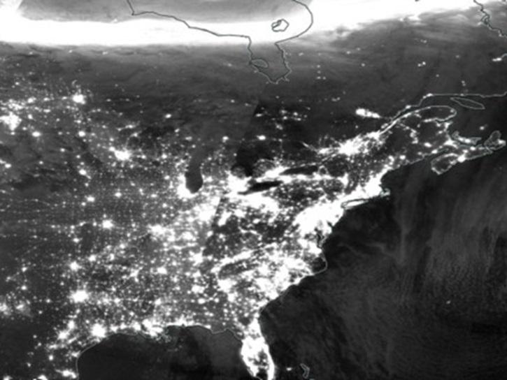
A comparison of aurora forecasts with actual satellite observations suggests VIIRS DNB data can enhance space weather prediction efforts.
May 30, 2025
Filters
2 MIN READ
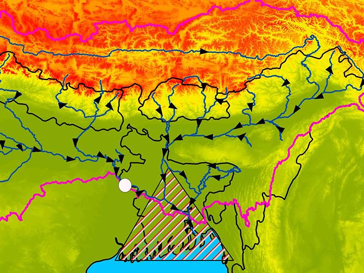
Learn how satellite altimetry is used to measure the heights of rivers and lakes.
May 11, 2015
6 MIN READ
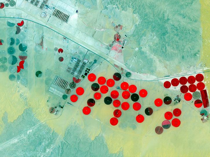
Learn how NASA data can inform crop decisions in desert areas, help farmers predict frost events, and understand why land change trends occur.
April 29, 2015
3 MIN READ
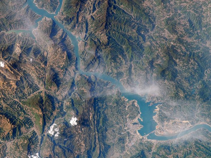
Researchers used MODIS and ASTER data to analyze how the Three Gorges Dam's construction altered vegetation along the Yangtze River's riparian zones.
April 29, 2015

2 MIN READ
Learn how NASA’s Gravity Recovery and Climate Experiment satellite mission measures groundwater changes from space.
March 26, 2015
4 MIN READ
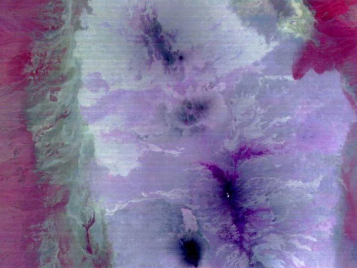
See how scientists used ASTER thermal infrared imagery to study Ethiopia's volcanically active Afar Triangle.
March 25, 2015

3 MIN READ
Read stories from the 2014 issue of Sensing our Planet to learn about the many uses of MODIS data distributed by LP DAAC.
March 18, 2015
2 MIN READ
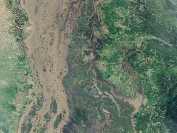
MODIS data captured the extensive flooding of the Shire River in Malawi and Mozambique, caused by unusually heavy rains and a tropical cyclone.
Feb. 15, 2015
2 MIN READ
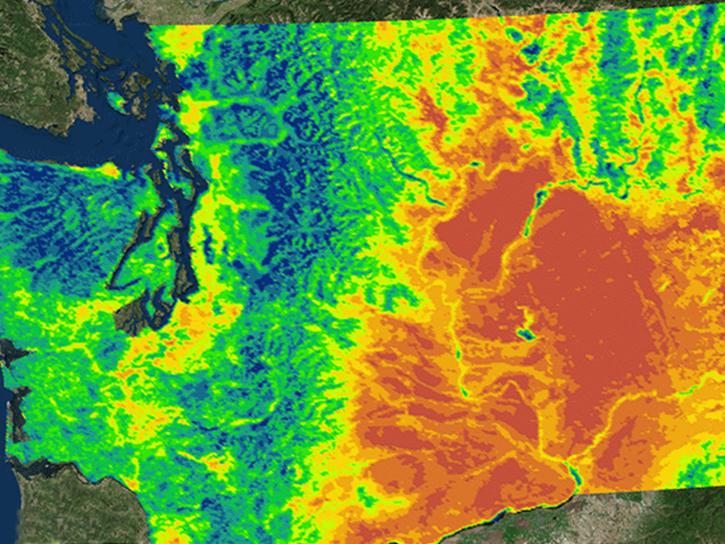
NASA's Northwest U.S. Agriculture Team used MODIS data to calculate the growing degree days of the codling moth.
Feb. 14, 2015
SHOWING 8 OF 186