Delivery of Suomi National Polar-orbiting Partnership (Suomi NPP) satellite data products will cease on November 1, 2026. Data users should transition now to alternative products from NOAA-21 and NOAA-20.
Suomi NPP data announcement
Filters
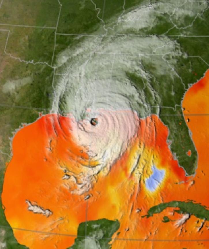
Geographic Information Systems (GIS) provide powerful capabilities for visualizing, analyzing, and interacting with Earth science data.
Feature Article
Dec. 7, 2021

NASA’s ORNL DAAC is now part of NASA’s interactive platform that connects data users to experts.
Feature Article
Dec. 7, 2021
Mentors from the Distributed Active Archive Centers (DAAC) helped scientists improve their skills using NASA cloud-based Earth science data.
Feature Article
Dec. 7, 2021
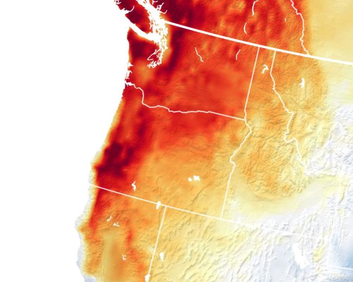
A new SEDAC dataset provides the most accurate record of how extreme heat in urban areas across the globe has changed.
Feature Article
Dec. 7, 2021
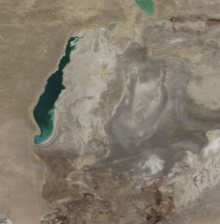
Worldview Image of the Week: Comparison image of Aral Sea
Worldview Image of the Week
Dec. 7, 2021
This TechTalk features SmartSearch, a deep learning tool to automate data discovery for materials science, oil and gas infrastructure, and more.
Webinar
Dec. 6, 2021

Learn how to use Worldview to explore and visualize NASA Earth science imagery to see hurricanes forming, wildfires spreading, icebergs drifting, and more.
Tutorial
Dec. 1, 2021
Get to know on-demand Sentinel-1 InSAR products from NASA’s Alaska Satellite Facility Distributed Active Archive Center (ASF DAAC).
Tutorial
Nov. 16, 2021
SHOWING 8 OF 2410