Delivery of Suomi National Polar-orbiting Partnership (Suomi NPP) satellite data products will cease on November 1, 2026. Data users should transition now to alternative products from NOAA-21 and NOAA-20.
Suomi NPP data announcement
Filters
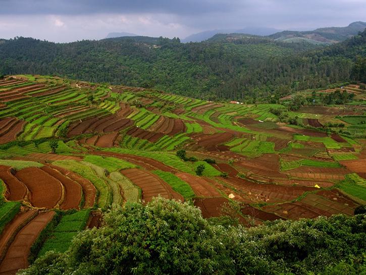
See how MODIS data are used to determine areas susceptible to water-stress to show the relative health of the vegetation compared to the same area with healthy vegetation.
Data in Action
June 25, 2015
View the agenda and access presentation slides from the NASA Ocean Biology and Biogeochemistry Group 2015 meeting.
Event
June 15, 2015

Users can access information about satellites through a representational state transfer (REST) interface provided by NASA's Global Hydrometeorology Resource Center Distributed Active Archive Center (GHRC DAAC).
Tutorial
June 10, 2015
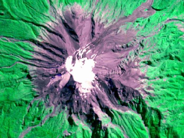
Discover how researchers used NASA remote sensing data to analyze the eruption of Calbuco Volcano and its impact on the surrounding environment.
Data in Action
May 29, 2015
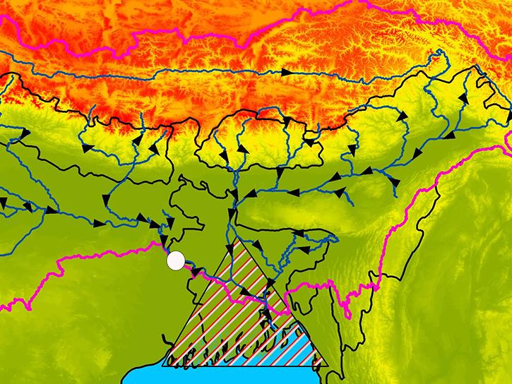
Learn how satellite altimetry is used to measure the heights of rivers and lakes.
Data in Action
May 11, 2015
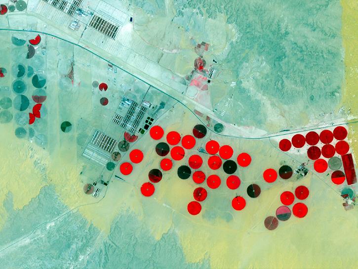
Learn how NASA data can inform crop decisions in desert areas, help farmers predict frost events, and understand why land change trends occur.
Data in Action
April 29, 2015
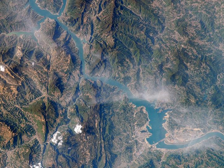
Researchers used MODIS and ASTER data to analyze how the Three Gorges Dam's construction altered vegetation along the Yangtze River's riparian zones.
Data in Action
April 29, 2015

Learn how NASA’s Gravity Recovery and Climate Experiment satellite mission measures groundwater changes from space.
Data in Action
March 26, 2015
SHOWING 8 OF 2409