We are in the process of migrating all NASA Earth science data sites into Earthdata from now until end of 2026. Not all NASA Earth science data and resources will appear here until then. Thank you for your patience as we make this transition.
Read about the Web Unification Project
Filters
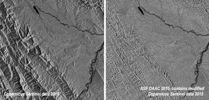
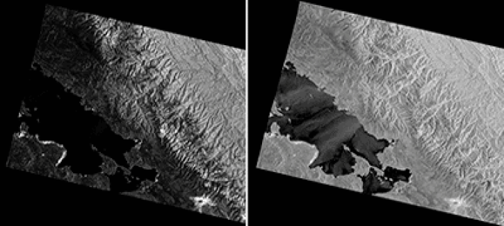
This data recipe shows how to radiometrically terrain correct Sentinel-1A GRD (SAR) data using the Sentinel-1 Toolbox software in the command line.
Data Recipe
Oct. 2, 2024
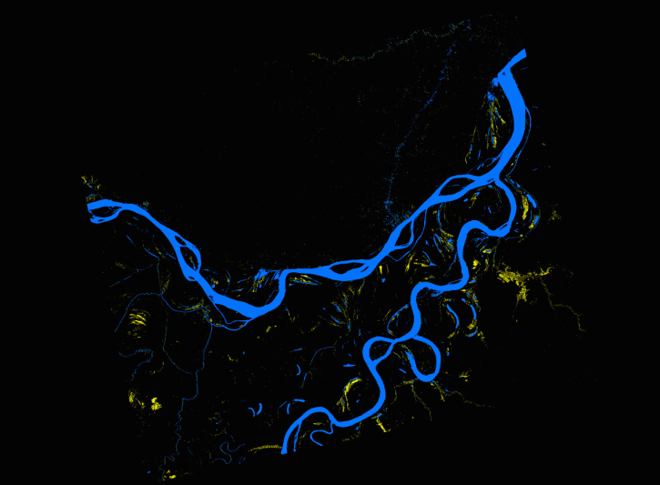
This data recipe describes methods used to create an inundation animation from PALSAR RTC and map that quantifies the number of events from the data.
Data Recipe
Oct. 2, 2024
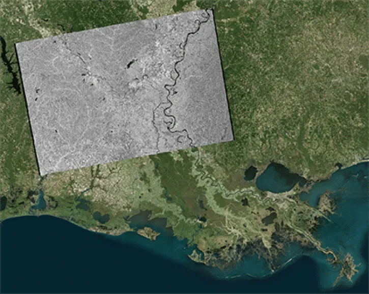
This data recipe shows how to geocode Sentinel-1 GRD products in ArcGIS using the Project Raster tool.
Data Recipe
Oct. 2, 2024
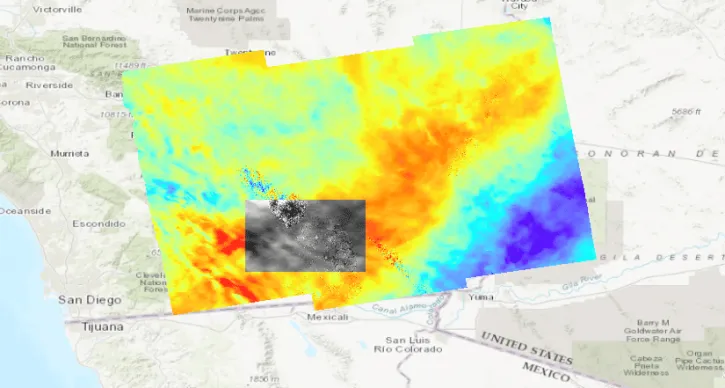
This data recipe provides steps to construct a Harmony request URL to find S-1 InSAR data and perform subsetting using the GDAL Subsetter.
Data Recipe
Oct. 2, 2024
This data recipe shows users how to use GAMMA software and scripts for high-quality results to correct distortions in SAR images.
Data Recipe
Oct. 2, 2024
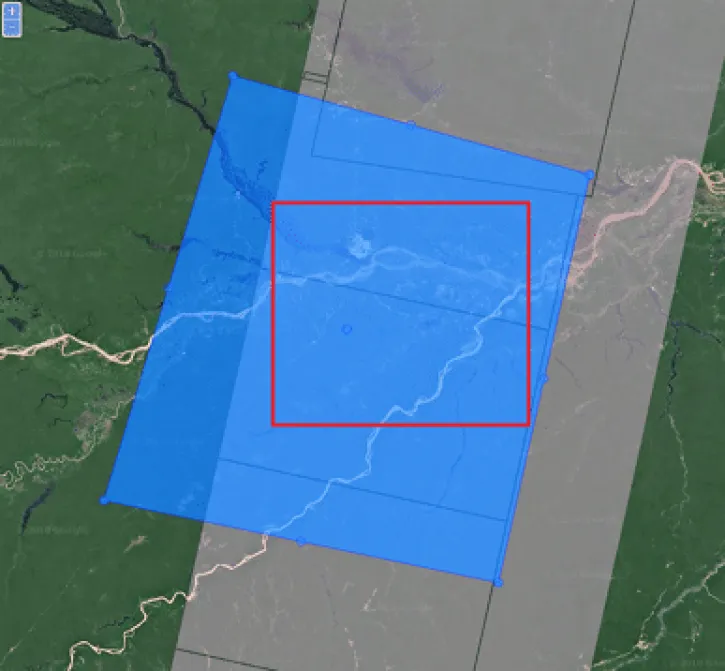
This data recipe reviews the preprocessing steps to accomplish a slice assembly and the subsequent subsetting of the border zone.
Data Recipe
Oct. 2, 2024

NASA's Earth observation data is used by researchers, decision makers, and communities around the globe—from farmers to climate scientists to experts in artificial intelligence. Meet some of our users by reading their stories.
Data User Story
Oct. 2, 2024

Read the latest news about NASA Earth science data, including monthly roundups of new releases, articles about data tools and training opportunities, and user stories that highlight how NASA data is translated into actionable science.
News
Oct. 2, 2024
SHOWING 8 OF 2315