We are in the process of migrating all NASA Earth science data sites into Earthdata from now until end of 2026. Not all NASA Earth science data and resources will appear here until then. Thank you for your patience as we make this transition.
Read about the Web Unification Project
Data in Action
All across the planet, NASA Earth science data are used to meet real-world challenges.
Featured Data in Action
5 MIN READ
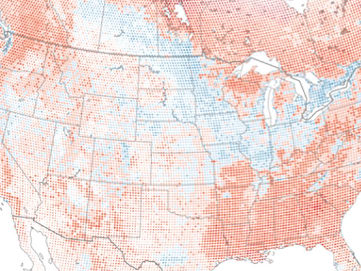
The eBird project uses NASA data and observations from amateur birdwatchers to provide insights into the decline in avian populations throughout North America.
June 17, 2025
5 MIN READ
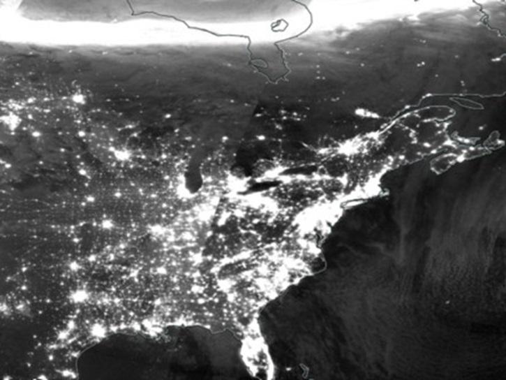
A comparison of aurora forecasts with actual satellite observations suggests VIIRS DNB data can enhance space weather prediction efforts.
May 30, 2025
Filters
3 MIN READ
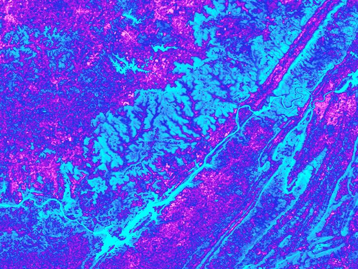
Discover how a NASA DEVELOP team used NASA Earth science remote sensing data to observe the impacts urban growth has had on the city of Huntsville, Alabama.
Nov. 17, 2020
2 MIN READ
Explore sea surface temperature anomalies in the Gulf of America before, during, and after Tropical Cyclones Laura and Marco with NASA's MUR SST dataset.
Sept. 10, 2020
6 MIN READ
Learn how NASA data shed light on heat wave-related deaths, informed machine learning regression models predicting honey harvests, and mapped maize crops.
Aug. 24, 2020
4 MIN READ
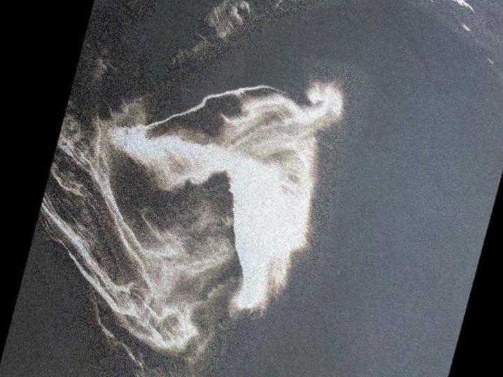
In response to the Deepwater Horizon oil spill, researchers used a machine learning algorithm to classify oil thickness with Terra ASTER data.
July 23, 2020
4 MIN READ
DEVELOP researchers in the United States created a computer model with NASA data to forecast dry and wet vegetation for wildfire prediction and response.
July 8, 2020
4 MIN READ
See how the Tennessee Valley Energy DEVELOP team used Earth observations to predict river water temperatures for managing and protecting aquatic ecosystems.
July 1, 2020
6 MIN READ
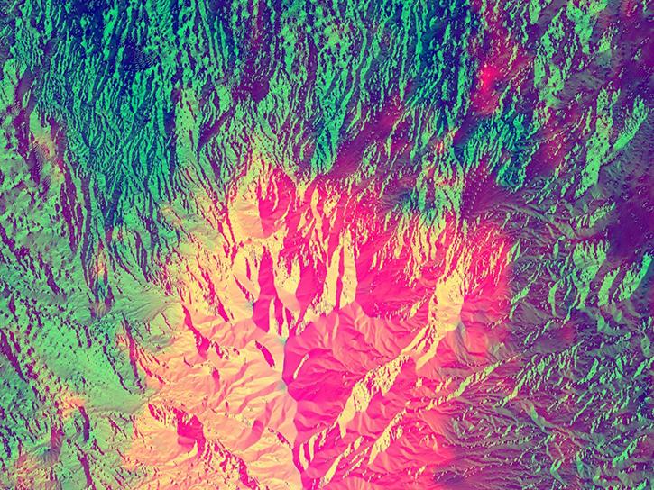
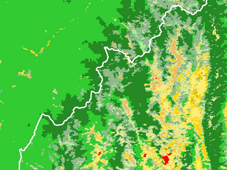
Researchers used MODIS land cover products and ASTER models to identify suitable areas where an endangered species of monkey may reside.
June 29, 2020
1 MIN READ
Researchers used CYGNSS data to track the evolution of weather systems.
May 26, 2020
Pagination
SHOWING 8 OF 178
