We are in the process of migrating all NASA Earth science data sites into Earthdata from now until end of 2026. Not all NASA Earth science data and resources will appear here until then. Thank you for your patience as we make this transition.
Read about the Web Unification Project
Data in Action
All across the planet, NASA Earth science data are used to meet real-world challenges.
Featured Data in Action

5 MIN READ
The eBird project uses NASA data and observations from amateur birdwatchers to provide insights into the decline in avian populations throughout North America.
June 17, 2025

5 MIN READ
A comparison of aurora forecasts with actual satellite observations suggests VIIRS DNB data can enhance space weather prediction efforts.
May 30, 2025
Filters

7 MIN READ
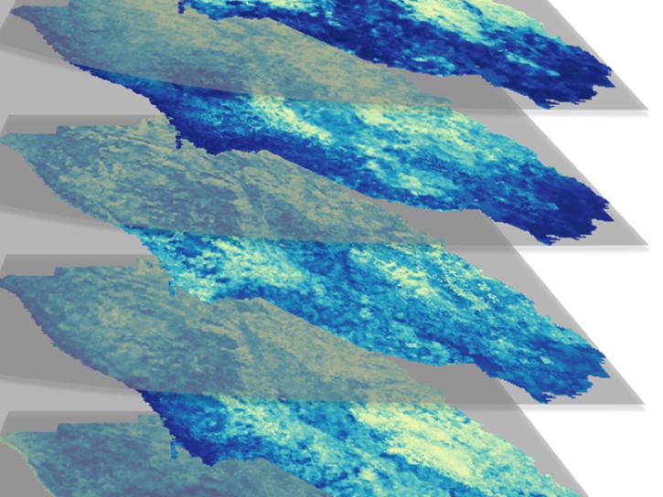
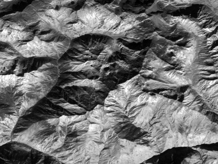
Explore how remote sensing is used to study landslide vegetation recovery in China, identify zero curtain effects for permafrost detection, and map geothermal minerals in East Africa.
April 28, 2020

4 MIN READ
In Spring 2019 DEVELOP researchers used VIIRS and other instrument data to create models that provide fine details on drought conditions in Iowa.
April 13, 2020

2 MIN READ
Evaluating the evolution of ocean response to the 2019 Atlantic tropical cyclones.
April 2, 2020
4 MIN READ
Using simulated Global Ecosystem Dynamics Investigation (GEDI) data, a science team predicted bird occurrence probability in California.
March 10, 2020

3 MIN READ
See how a DEVELOP project team employed Earth observation data to examine and predict the location of bighorn sheep habitat in the Mojave Desert.
Feb. 24, 2020
6 MIN READ
Read highlights of three publications that detail how NASA Earth observation data informs African wildfire patterns, rice production in India, and mineral locations in China.
Jan. 23, 2020

5 MIN READ
Explore how NASA remote sensing data and satellite imagery are used to monitor the evolution of fires.
Dec. 2, 2019

6 MIN READ
Explore how satellite data supported soybean crop modeling in Brazil and the U.S., hurricane and drought damage assessment in the Caribbean, and dam site evaluation in northern Iraq.
Oct. 28, 2019
SHOWING 8 OF 186