We are in the process of migrating all NASA Earth science data sites into Earthdata from now until end of 2026. Not all NASA Earth science data and resources will appear here until then. Thank you for your patience as we make this transition.
Read about the Web Unification Project
Data in Action
All across the planet, NASA Earth science data are used to meet real-world challenges.
Featured Data in Action

5 MIN READ
The eBird project uses NASA data and observations from amateur birdwatchers to provide insights into the decline in avian populations throughout North America.
June 17, 2025

5 MIN READ
A comparison of aurora forecasts with actual satellite observations suggests VIIRS DNB data can enhance space weather prediction efforts.
May 30, 2025
Filters
7 MIN READ
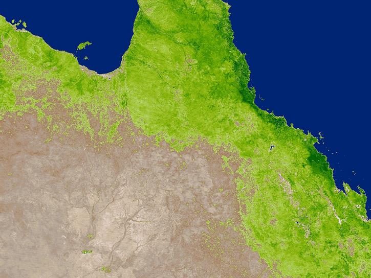
Read highlights of three publications that detail how NASA Earth observation data informs crop production in Australia and Chile and heat from factories in China.
March 27, 2019
4 MIN READ
Read stories from the 2017 issue of Sensing our Planet to learn about the many uses of MODIS data distributed by LP DAAC.
Dec. 19, 2018
5 MIN READ
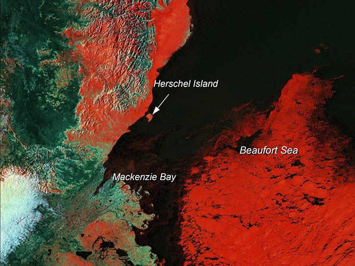
Learn how scientists use remote sensing data to study sea ice patterns to see how changes can influence weather, climate, and animal populations in these regions.
Dec. 6, 2018

4 MIN READ
Read stories from the 2016 issue of Sensing our Planet to learn about the many uses of MODIS data distributed by LP DAAC.
Nov. 28, 2018

2 MIN READ
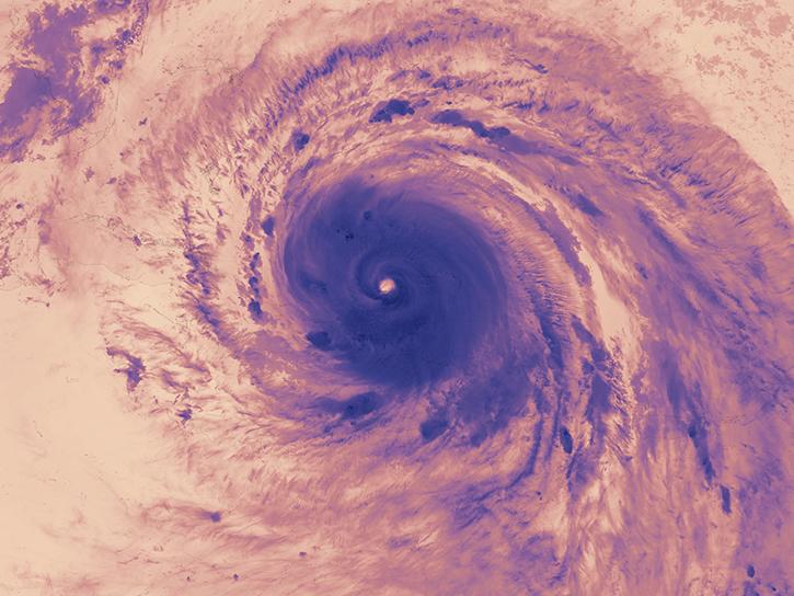
NASA scientists examined the sea surface temperature response associated with this 2018 hurricane.
Nov. 26, 2018
3 MIN READ
The Hurricane and Severe Storm Sentinel (HS3) field campaign helped researchers identify areas of heavy rain and wind within Ingrid ahead of landfall.
Nov. 15, 2018

6 MIN READ
Learn how satellite data supported research on forest growing seasons in Thailand, land degradation risk in Cyprus, and agricultural yield forecasting in Eastern Europe.
Oct. 25, 2018
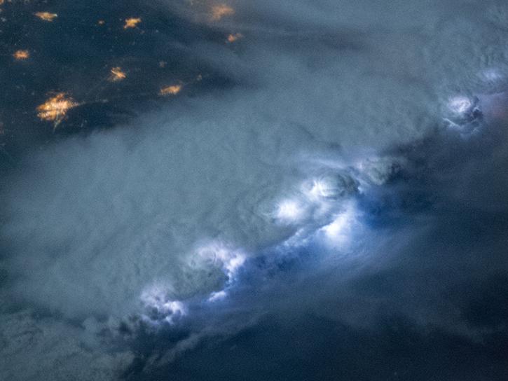
2 MIN READ
NASA's Lightning Imaging Sensor (LIS) surveyed lightning flashes of all shapes, sizes, and radiances across the tropics.
Oct. 19, 2018
SHOWING 8 OF 186