We are in the process of migrating all NASA Earth science data sites into Earthdata from now until end of 2026. Not all NASA Earth science data and resources will appear here until then. Thank you for your patience as we make this transition.
Read about the Web Unification Project
Data in Action
All across the planet, NASA Earth science data are used to meet real-world challenges.
Featured Data in Action

5 MIN READ
The eBird project uses NASA data and observations from amateur birdwatchers to provide insights into the decline in avian populations throughout North America.
June 17, 2025

5 MIN READ
A comparison of aurora forecasts with actual satellite observations suggests VIIRS DNB data can enhance space weather prediction efforts.
May 30, 2025
Filters

2 MIN READ
Researchers use NASA data to better understand key mechanisms responsible for near-surface salinity variations in the ocean.
Oct. 3, 2019

6 MIN READ
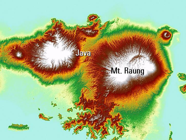
Europe experienced a heat wave in 2019, highlighting the dangers of urban heat islands and the potential of ECOsystem Spaceborne Thermal Radiometer (ECOSTRESS) data to identify at-risk areas.
Aug. 21, 2019
8 MIN READ
Read publication highlights that detail how NASA data are used to monitor climate-driven vegetation changes, wind-driven sediment plumes in lakes, and volcanic eruption processes.
July 31, 2019

6 MIN READ
Explore how NASA data helps track NDVI trends in Spain, analyze rising land surface temperatures in Italy, and detect geothermal anomalies in Turkey using MODIS and ASTER imagery.
June 18, 2019

2 MIN READ
NASA data helps researchers track post-storm changes in sea surface temperature and ocean salinity.
June 12, 2019
6 MIN READ
Satellite data shows that communities in western Nepal and northern Bangladesh are at an increased risk for lightning related injury.
June 10, 2019

3 MIN READ
Discover how a NASA DEVELOP team assessed and mapped changes in the risk of wildfires following a beetle infestation.
April 24, 2019

1 MIN READ
Post-storm effects included sea surface temperature cooling followed by localized chlorophyll-a blooms.
April 11, 2019
SHOWING 8 OF 186