We are in the process of migrating all NASA Earth science data sites into Earthdata from now until end of 2026. Not all NASA Earth science data and resources will appear here until then. Thank you for your patience as we make this transition.
Read about the Web Unification Project
Filters
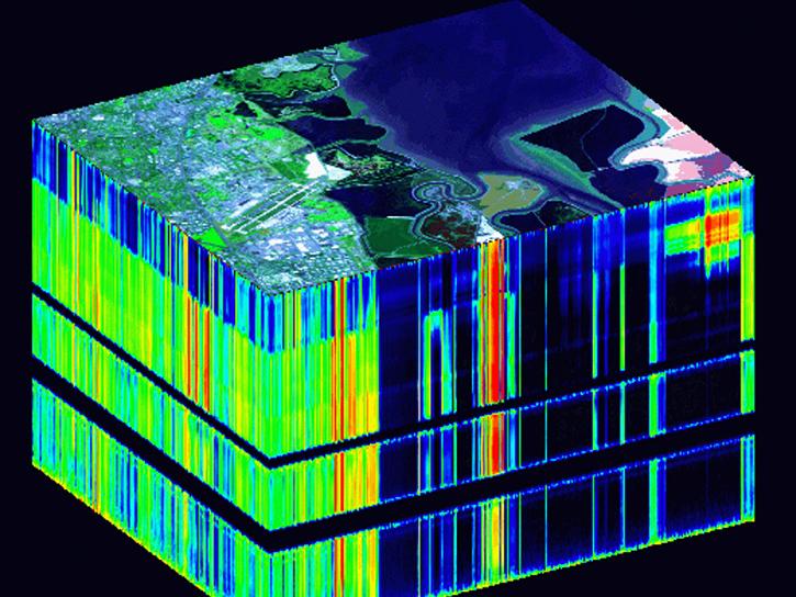
This training, offered by NASA's ARSET program, covers the basics of hyperspectral remote sensing applications.
News
Sept. 19, 2025

Image captured September 17, 2025, by the VIIRS instrument aboard the joint NASA/NOAA Suomi NPP platform.
Worldview Image of the Week
Sept. 18, 2025

A new metadata project makes NASA's Earth data easier to find and access through federal open science portals.
Feature Article
Sept. 17, 2025

Join us on Tues., Sept. 30, to learn more about NASA CSDA program vendor PlanetiQ and to learn how to discover, access, and work with their GNSS Radio Occultation (GNSS-RO) data.
Webinar
Sept. 16, 2025
This training, offered by NASA's ARSET program, explores how solar induced fluorescence is used to assess changes in vegetation in regard to droughts, floods, and fires.
News
Sept. 15, 2025

Image captured September 11, 2025, by the VIIRS instrument aboard the joint NASA/NOAA NOAA-21 platform.
Worldview Image of the Week
Sept. 11, 2025
This training, offered by NASA's Applied Remote Sensing Training (ARSET) program, explores airborne and in-situ field data applications for invasive species mapping.
News
Sept. 11, 2025
Drill down to the specific NASA Earth science data you need using OPeNDAP.
News
Sept. 10, 2025
SHOWING 8 OF 2386